


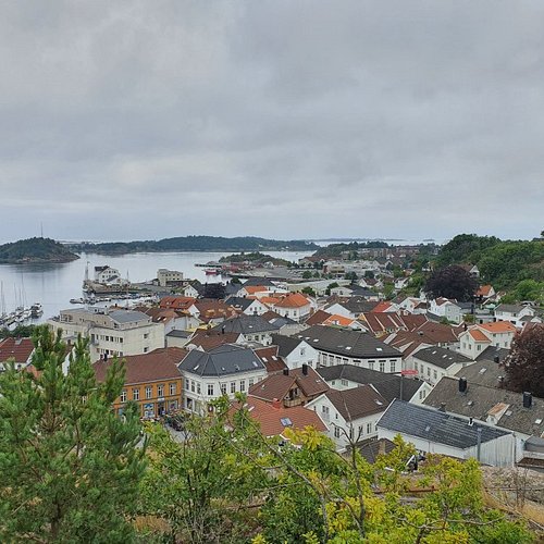
Location: Grimstad
Top Things to do in Grimstad
10 Nature & Parks in Grimstad That You Shouldn't Miss
Grimstad ( listen (help·info)) is a municipality in Aust-Agder county, Norway. It belongs to the geographical region of Sørlandet. The administrative center of the municipality is the town of Grimstad. Some of the villages in Grimstad include Eide, Espenes, Fevik, Fjære, Håbbestad, Hesnes, Homborsund, Jortveit, Kroken, Landvik, Nygrenda, Prestegårdskogen, Reddal, Roresand, Rønnes, Skiftenes, Tjore, Vik, and Østerhus.
Restaurants in Grimstad
1. Kollen at Fjaereheia
Overall Ratings
5.0 based on 4 reviews
Follow the recommended route to Dommesmoen. Continue along the floodlit trail for 100 metres, then turn right and follow the trail towards Deidalen. Some wet areas. At the first crossroads, turn left and then left again by a small lake. By the sign “Kollen, 2.6 km”, turn right. Then turn right and follow the old railway line for 200-300 metres. Climb the steep Orrekeiv to the left and follow the tractor tracks to Kollen, 1.9 km. At the top, you can enjoy the tranquillity and views towards the mountains and lake Rore. The route is marked with red triangles/red paint. As you return to the railway line, turn right and follow the road along the lake. After 1 km, you’ll reach the floodlit trail. Turn left and continue to the car park by Dommesmoen. Duration: Approx. 1 hour is required for the 4.2km walk from Dommesmoen to Kollen. For the 10km roundtrip, some 2 hours is needed. Terrain: Varied, exciting countryside. Some wet areas. Sturdy shoes and a reasonable level of fitness required. Level of difficulty: Medium Suitable for: The area is not suitable for wheelchair/pram.
2. Sykkelbyen
Overall Ratings
5.0 based on 2 reviews
3. Som Forest Conservation Area
Overall Ratings
5.0 based on 1 reviews

Hasseltangen and Som-Ruakerkilen form part of a moraine ridge - the region’s most prominent and distinct glacial deposit from the last Ice Age. The area boasts a beautiful and characteristic cultural landscape. Som-Ruakerkilen Nature Reserve comprises the most extensive and mature beech forest in Southern Norway.
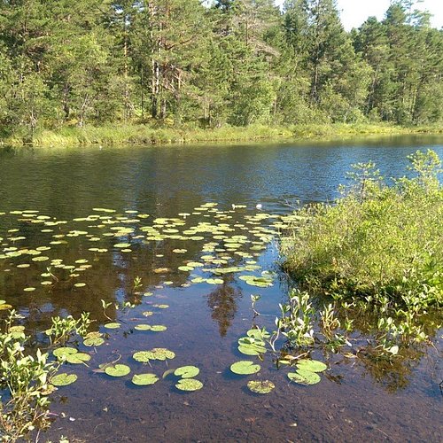
4. Reddalsvann Nature Reserve
Overall Ratings
5.0 based on 1 reviews
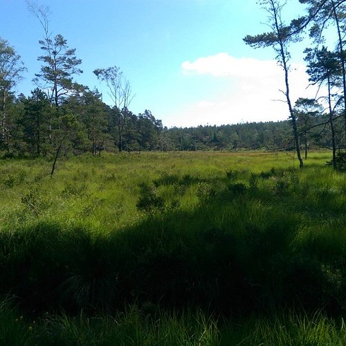
Reddalsvann Nature Reserve is an important biotope for mute swans and various duck species. With its lush belt of reeds, the banks of the lake provide the ideal habitat for the reed bunting, garden warbler, reed warbler and other bird life. Reddalsvannet is linked to the sea via the Reddal Canal. A Code of Conduct applies to the area. Situated some 7 km to the north of Grimstad town centre.
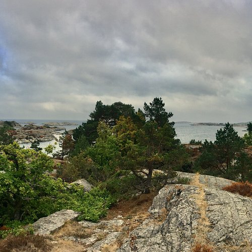
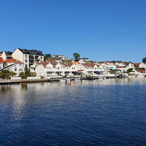
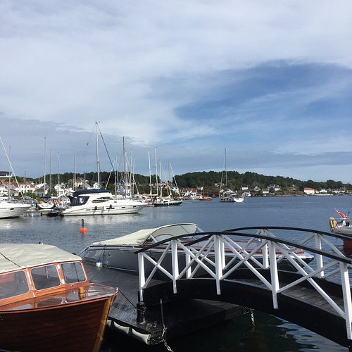
5. Grimstad's Archipelago
Overall Ratings
5.0 based on 30 reviews
What is a smooth rocky shore? Cliffs and sandy beaches are very common, but the polished rocky shores are unique to Norway – almost. They do exist in other places, but not many. Stretches of such rock formations can be found from the Swedish west coast and up to Stockholm’s archipelago, and also in Greenland, Scotland, Alaska and possibly New Zealand. The rest of the world, however, does not have anything resembling these beautiful shores we associate with Southern Norway and the Oslo Fjord. The reason is that not many areas fulfil the two conditions required for such polished, smooth rocks to be formed. High-grade metamorphic rock such as gneiss or granite is required, and this coarse-grained formation must have been scoured and rubbed smooth by a thick layer of ice. As old as time itself! The Norwegian rocky shores originated long before the ice arrived - maybe as much as a billion years. Formation started 1.8 billion years ago and ended 1200 million years later. The time-span is almost incomprehensible! When the ice retreated for the last time, the rocky shores were given a last finish and took their current shape. This is only 10 000 years ago. Since then, the land has risen as much as 200 metres in some areas. Hence, the rocky shorescurrently lining the water’s edge were far below sea level and a thousand metres or more under the ice when they were formed. As the ice moved, masses of sand, gravel and stone were pushed in front and below. These deposits were pressed down and rubbed against the bedrock with immense force. This was how Norway’s rocky shores were formed. Soft elements were scoured away, and the hard rock was left polished, smooth and rounded. In several areas, characteristic scour lines are still evident, and some cracks in the actual bedrock can also be seen.
6. Hill Hike in Grimstad
Overall Ratings
5.0 based on 1 reviews
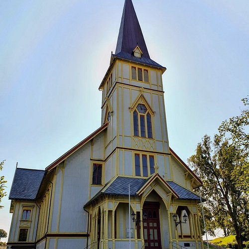
By the tourist office, cross the road at the traffic lights. Turn left, and continue along Pharos Vei. At the very end of Hoyvardeveien is the first hilltop: Vardeheia, 41 m a.s.l. Stunning views, and within an easy 10 min. walk from town centre. Enter Vestregate and then follow Storgaten until you reach Frivoldveien. The next hilltop is Floyheia, 63.5 m a.s.l., with beautiful views to the sea, town and countryside. This trail has been created based on Knut Hamsun’s work, “On Overgrown Paths”, and you’ll find quotes from the book along the way. Some steep sections, but Hamsun was 88 years old when he did this walk. Mollerheia, 41.9 m a.s.l., is the hilltop prior to the descent down to Kirkegaten. Cross over to Kirkeheia, 27 m a.s.l., with its beautiful park and the wooden Grimstad Church - Norway’s second largest of its kind. Binabben, 58.5 m a.s.l. and the last of the hilltops, offers an excellent “forest walk on wellkept paths to the vantage point. Spectacular 360° view towards countryside, town, harbour, archipelago and sea. At the top is a panorama disc with distances and details on what’s what in every direction. Duration: approx. 1 ½ hours. Terrain: Varied, some hilly areas, exciting countryside. Sturdy shoes and a reasonable level of fitness are required. Level of difficulty: Medium Suitable for: Both Vardeheia and Kirkeheia are suitable for wheelchairs/prams.
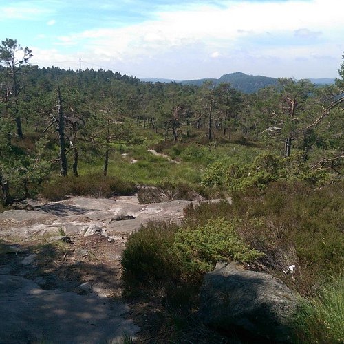
7. Auesoya Landscape Conservation Area
Overall Ratings
4.5 based on 3 reviews
Auesoya island is located on the Lillesand border, and can only be reached by boat. Some 175 acres have been given protected status in order to preserve one of the region’s typical islands with its enchanting scenery and cultural landscape - home to a wide variety of flora and fauna. The island features a culture trail, and a brochure is available.
8. Groos Recreation Ground
Overall Ratings
4.5 based on 3 reviews

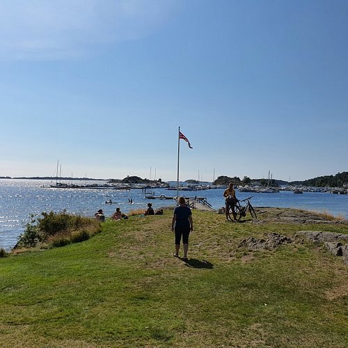
Ideal for outings, and within easy reach of town centre - by foot or by bike. With its sandy beaches, shallow waters, play area, beach volleyball pitch, rocky shore, summer restaurant and ample parking. Groos is everyone’s favourite.
9. Marivold Recreation Ground
Overall Ratings
4.5 based on 4 reviews
Marivold offers sandy beaches, a rocky shoreline and ample parking for day visitors. Wildlife area abundant in orchids. Tarmac path to the sea. This is also where Marivold Resort is located, offering camping facilities and cabin rental, as well as a shop and restaurant during the summer season.
10. Kalvehageneset Recreation Ground
Overall Ratings
4.5 based on 6 reviews

Public recreation ground/coastal park in Homborsund with an abundance of cultural monuments, and a varied scenery ranging from woodland to rocky shores. Hiking: The area has a number of way-marked trails equipped with information displays. A brochure is available.