


City: Estonia
Top Things to do in Estonia
Countries
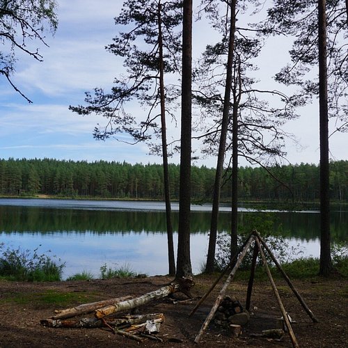
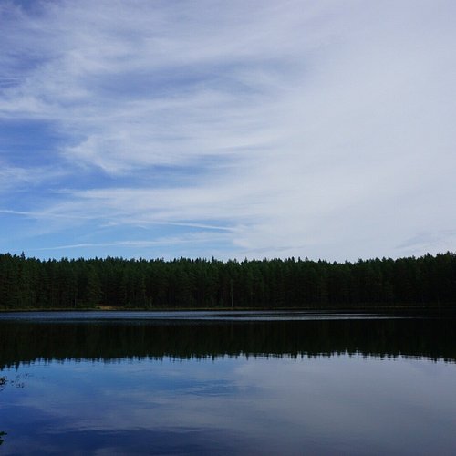
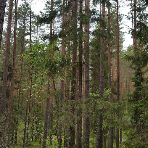
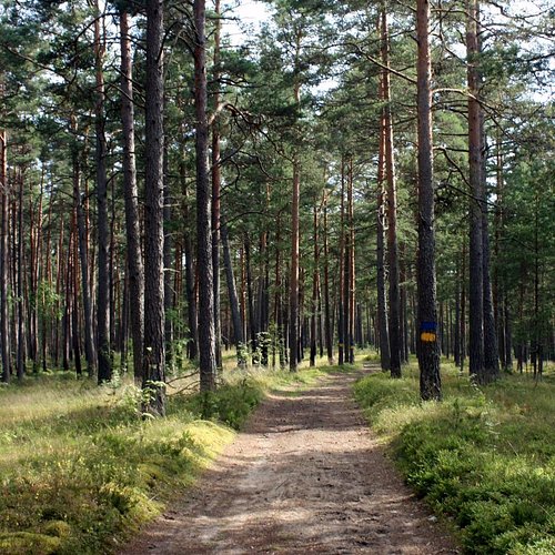
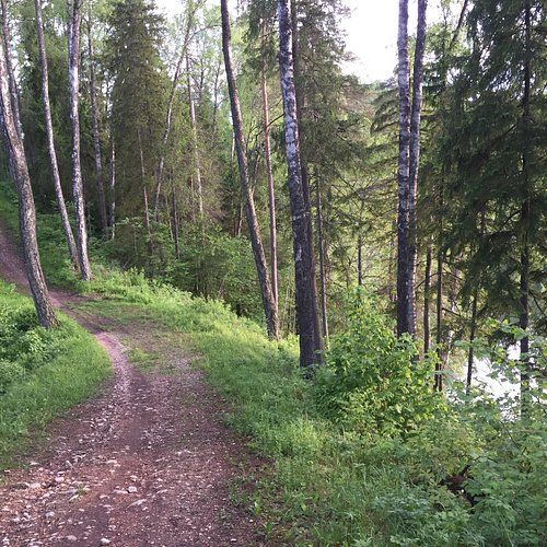
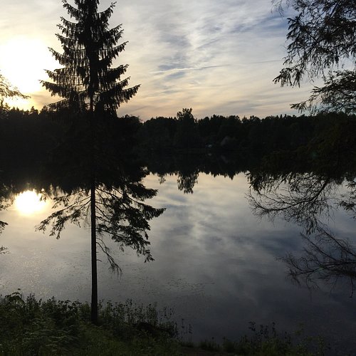
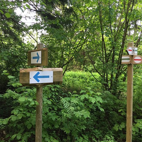
Top 10 Hiking Trails in Estonia, Estonia
– in Europe (green & grey)
– in the European Union (green) – [Legend]
Restaurants in Estonia
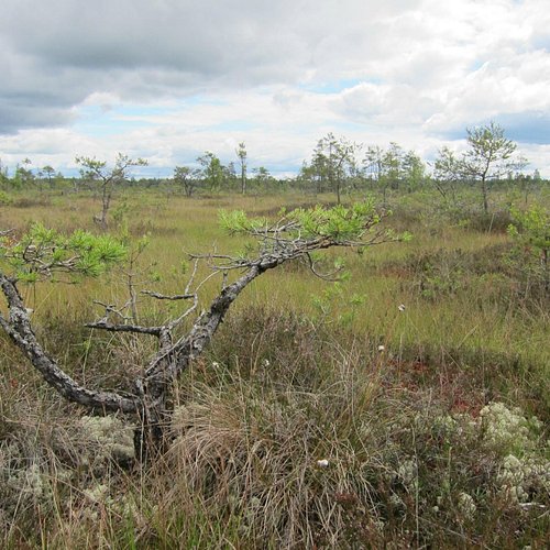
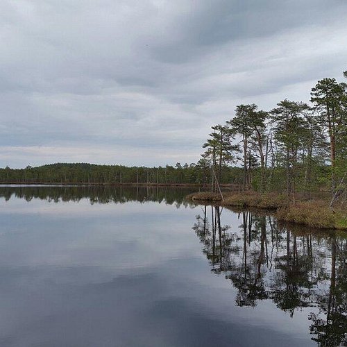
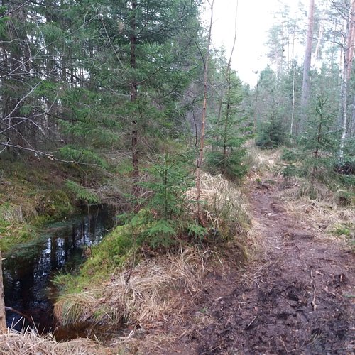
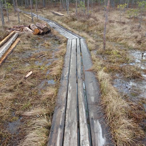
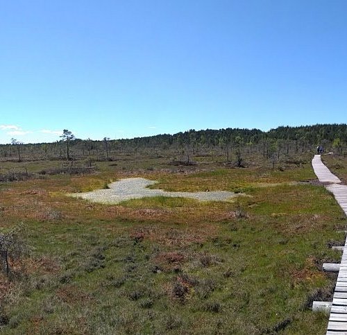
1. Nature Trail of the Meenikunno Bog
Overall Ratings
5.0 based on 6 reviews
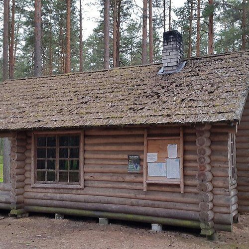
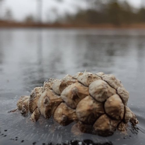
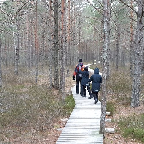
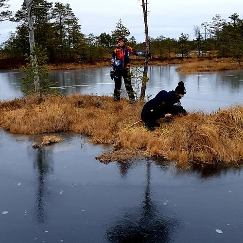
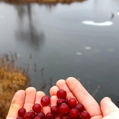
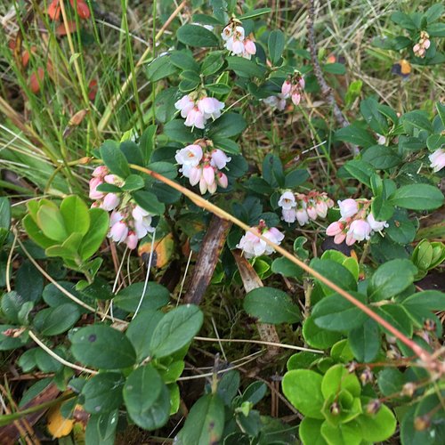
Cabins for hikers, an observation point and a boarded path attract many nature lovers to Meenikunno bog. This is a beautiful recreation area. While walking down the boarded path you can see common bog plants: leather leaf, bog rosemary, black crowberry, marsh Labrador tea and Tussock cottongrass, on the edge of the bog dwarf birches can also be found. There is also a number of different species of peat moss of various colours. The bravest ones can try bog water with an interesting taste from the overgrown ditch on the edge of the bog.
2. Liiapeksi-Aegviidu Trail
Overall Ratings
5.0 based on 1 reviews
The hiking trail is 36 km in length and it starts at Liiapeksi, Kuusalu Rural Municipality, just by Peterburi Road and it finishes near Aegviidu small town. 2.3 km of the hiking trail is boardwalk. The trail coincides in part with Paukjarve and Jussi nature trails as it is a part of the 79 km long Korve trail.Northern Korvemaa in all of its beauty and charm
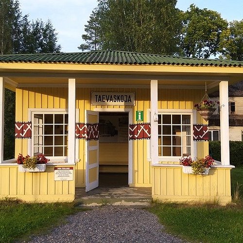
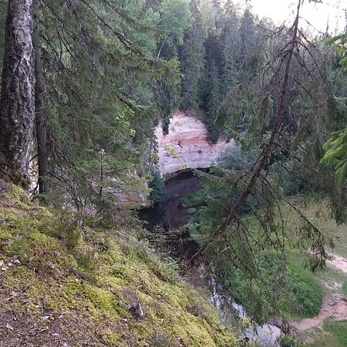
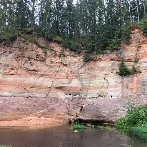
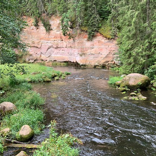
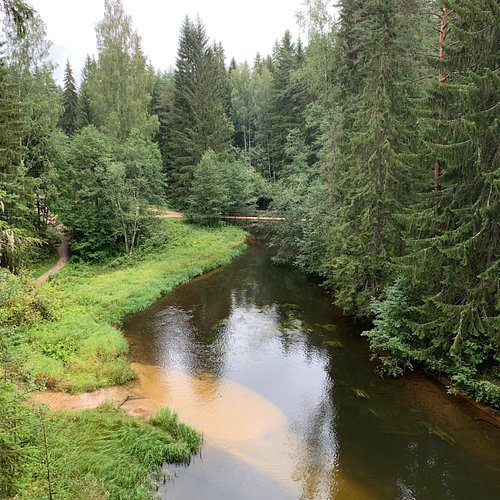
3. Taevaskoja Nature Trail
Overall Ratings
5.0 based on 27 reviews
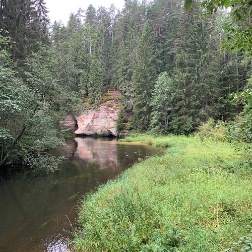
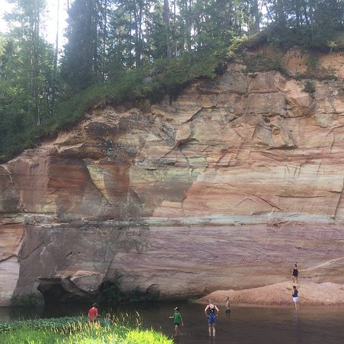
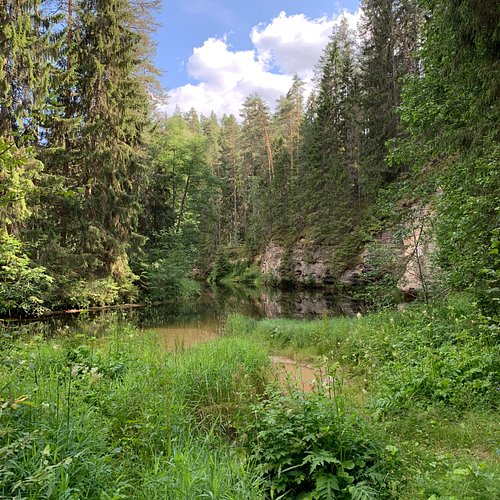
Taevaskoja nature trail is 3 km long and goes along both banks of the Ahja River. The trail starts in the Saesaare parking lot of the State Forest Management Centre which is situated near Saesaare small town on the road between Taevaskoda and Kiidjarve. The entire trail runs in the landscape reserve of the Ahja River. There are 10 observation points on the trail with boards providing information in English, Russian and Estonian. At the beginning of the trail there is also a board displaying maps of the trail and recreation area, and direction signs. At the level of difficulty it ranks in the middle.Interesting to know:The folk call high sandstone outcrops Heaven’s Hall (Taevaskoda).
4. RMK Kilingi-Nomme Hiking Trail
Overall Ratings
5.0 based on 1 reviews
The 5.2 km forest trail starts from the Kiling-Nomme forest hut of the State Forest Management Centre (RMK). You will find a map of the trail on the wall at the trail’s start. Boardwalks help you cross the wetter parts of the trail, wooden steps protect the delicate surface of hills from ramblers and a wooden bridge leads across the stream where beavers have been building dams. The study trail consists of 12 viewing points and was created by naturalist Hendrik Relve. There is a nature class at the start of the trail. Hikers can rest on the benches that have been arranged in a circle, have a bite to eat and schools can use the area for lessons about nature. Take your family and your dog with you and come walk the trail!
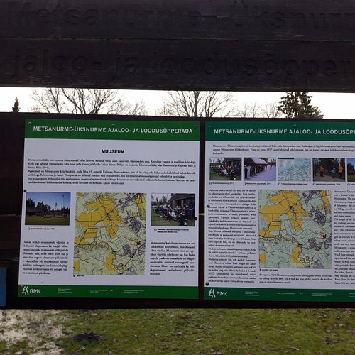
5. Uksnurme-Metsanurme Nature and Hiking Trail
Overall Ratings
5.0 based on 1 reviews
An 8-kilometre long nature and hiking trail marked with signs and maps where it is possible to enjoy both history as well as nature.The studies and findings of local native researchers and well-known historians record the rich cultural heritage of the area. In addition to historical objects Metsanurme Village and the vicinity thereof are also interesting to those interested in nature.In the middle of the hiking trail there is a recreation site located on the winding banks of the Keila River and provided with a shelter, a picnic table and a latrine.
6. Hiking Trails of Joulumae Recreational Sports Centre
Overall Ratings
5.0 based on 1 reviews
There is a 5 km nature trail in the pine forest on the dunes near Joulumae Health Centre in Parnu County and also three longer marked hiking trails (10, 15 and 25 km). The longest of them reaches the Rannametsa-Tolkuse Nature Trail. You can buy the Joulumetsa orienteering card with 20 permanent checkpoints from the administrator (1.60 €) and use it to go and discover the surroundings.
7. Salumagi in Salevere
Overall Ratings
5.0 based on 1 reviews
Salumagi is one of the most beautiful places in Laanemaa. It is a type of relief designed by a mass of glacier ice and by the Baltic Sea. This limestone relief almost 400 million years old managed to withstand the wearing effect of the ice sheet. The steep limestone wall on the side of the sea of the elevation is probably almost 6000 years old. A spring called Silmaallikas flows from the wall of the shore – this is the place which was in the old times used as a place for sacrificing. Salevere hiking trail passes the spring.Interesting facts:The remains of an ancient fort have been discovered in Salumagi and at the base of the hill you can see a very rare forest abundant in species.
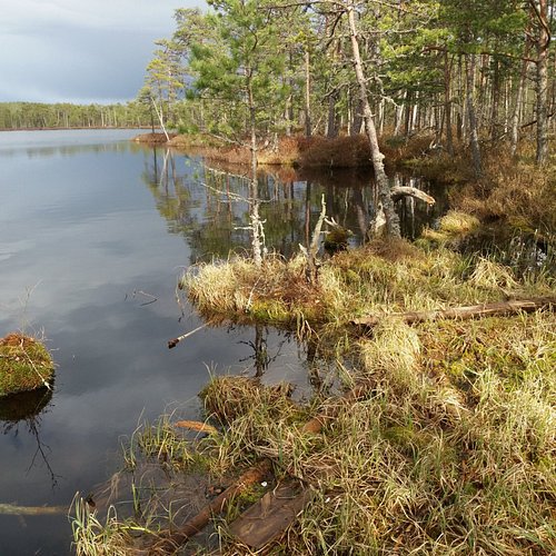
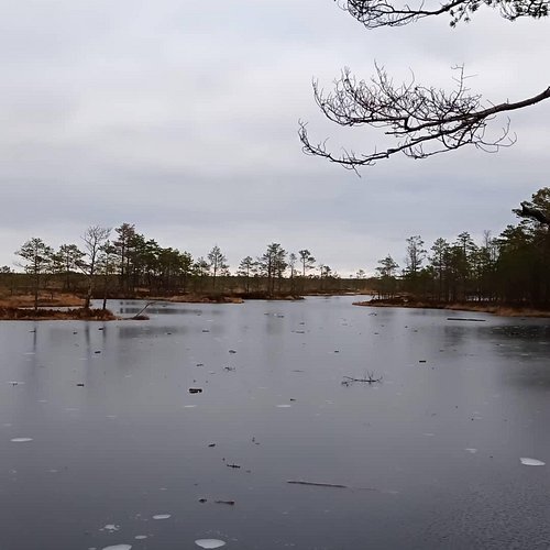
8. Rannametsa Tolkuse Nature Trail
Overall Ratings
5.0 based on 18 reviews
The dunes in Rannametsa have always been a popular place among hikers. Trails and information boards have been built here to protect the delicate nature and still introduce the nature of Luitemaa to visitors.The 2.2 km circular trail, parts of which are a boardwalk, passes through the pine forest on the dunes and Tolkuse Fen, leading to the largest swamp pool of the fen (approx. 96 x 210 m). An 18 metre viewing tower has been established on the top of Tornimagi, the highest dune in Estonia, which takes you more than 50 metres above sea level so you can see as far as 50 km away and even spot Kihnu Island.
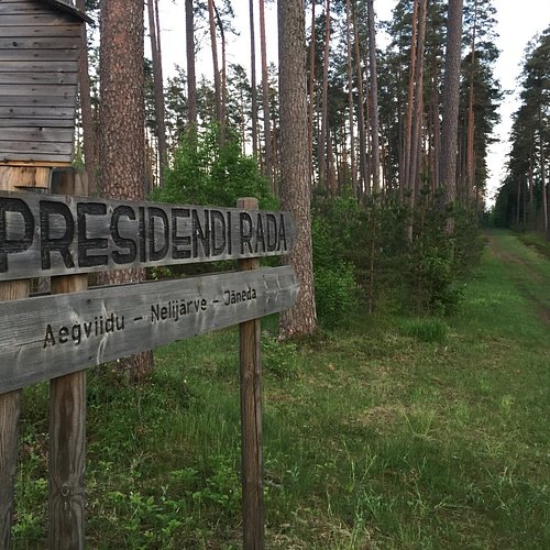
9. President’s Hiking Trail
Overall Ratings
5.0 based on 3 reviews
The "President's hiking trail" is a 10 km-long forest trail in Laane-Viru County that starts in Aegviidu and winds its way through Nelijarve to Janeda. In winter it plays host to the ever more popular "President's hike", in which Arnold Ruutel, President of Estonia from 2001-2006, also takes part. Did you know...? - The trail was named after former Presidents of Estonia, Konstantin Pats and Arnold Ruutel, who came here often. - The first President of the Republic of Estonia, Konstantin Pats, was the man behind the Nelijarve tourism centre: he came up with the idea and funded its construction. He also founded Janeda Agricultural High School. - Arnold Ruutel graduated Janeda School with the class of '49.
10. Hiking Tracks in Alam-Pedja Nature Conservation Area
Overall Ratings
5.0 based on 1 reviews
The Alam-Pedja Nature Conservation Area is located in the former basin of Lake Vortsjarv. There are 12 flowing bodies of water here whose length totals 115 km, and 55 old rivers with a total length of 51 km. There are swamps, flooded meadows and wet forests between the rivers that are almost untouched by human activity.Two hiking tracks of different lengths with viewing towers have been built for nature lovers (the Selli-Sillaotsa and Kirna hiking tracks).