


Top Things to do in Vest-Agder
Top Hotels in Vest-Agder
Things to do in Vest-Agder, Southern Norway: The Best Nature & Parks
Discover the best top things to do in Vest-Agder, Norway including Randoya, Roseknuten, Paradisbukta, Bredalsholmen Dokk og Fartoyvernsenter, Lyseveien to Lysebotn, Hike to Skrelia, Furulunden, Dyreparken, Sjosanden, Postveien from Kristiansand to Brennasen.
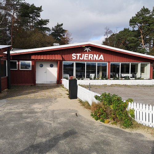
Restaurants in Vest-Agder
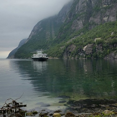
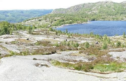
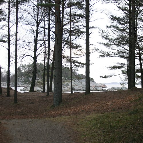
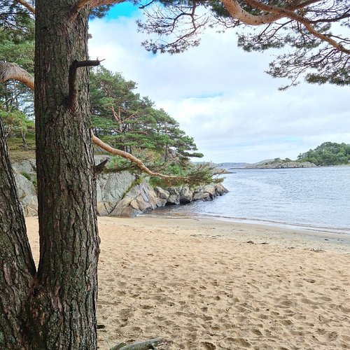
1. Randoya
Overall Ratings
5.0 based on 2 reviews
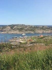
ostre Randoya (previously Randoya Fort) is a magnificent recreation area with smooth rocks ideal for sunbathing, a sheltered bay and excellent paths for walking (some suitable for wheelchairs). Summer café. To get there, take the bathing boat from Kristiansand, from July 6 to August 9.
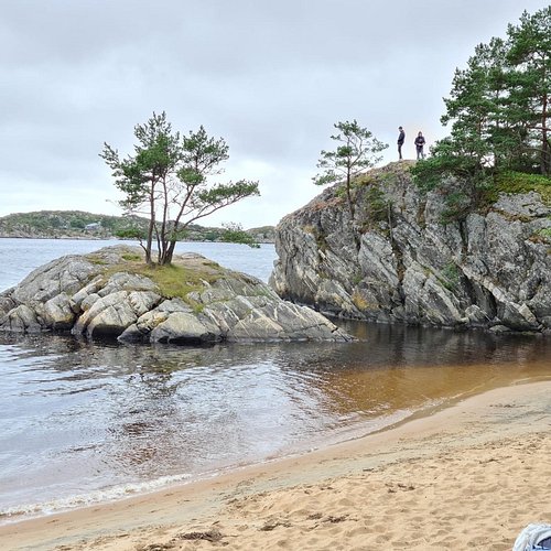
2. Roseknuten
3. Paradisbukta
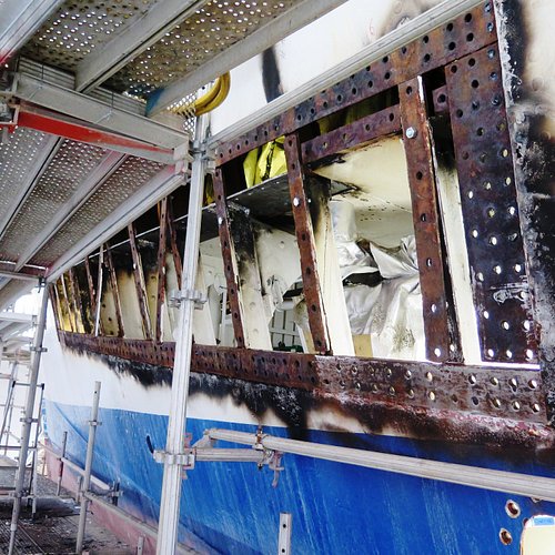
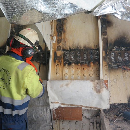
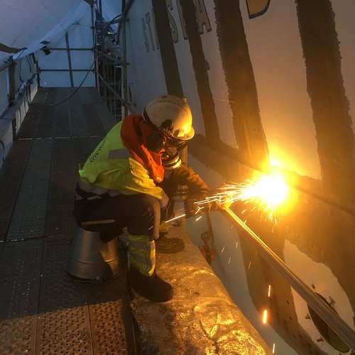
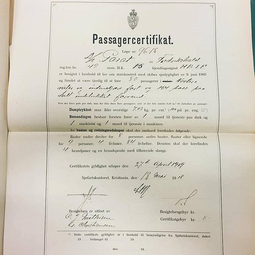
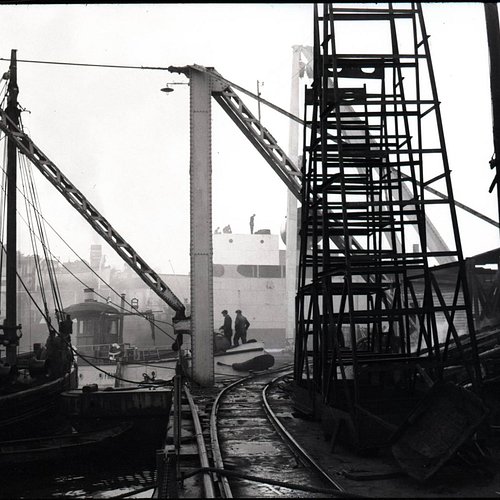
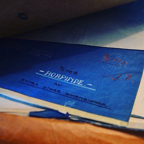
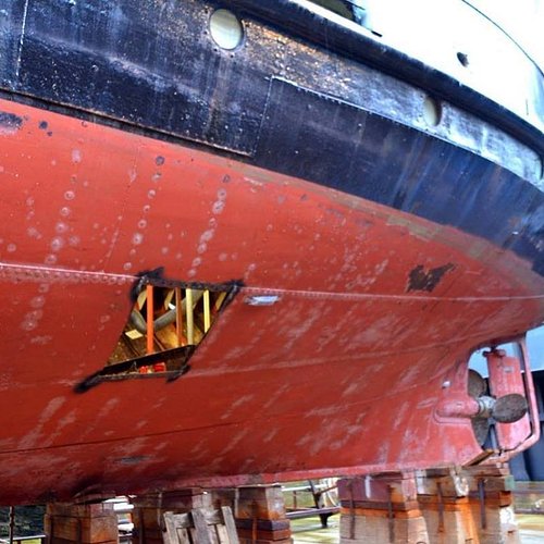
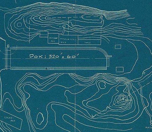
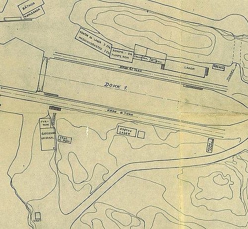
4. Bredalsholmen Dokk og Fartoyvernsenter
Overall Ratings
5.0 based on 1 reviews
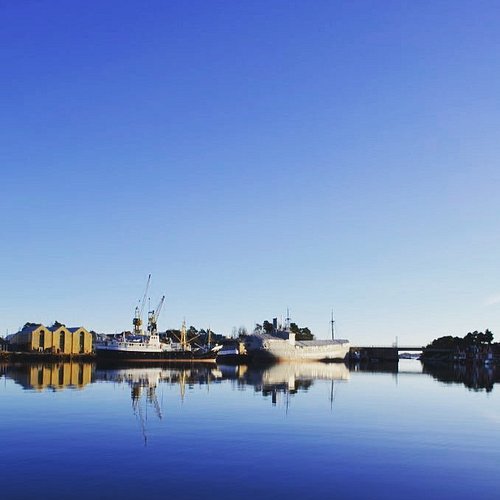
A national centre for preservation and restauration of historic ships built of steel - both as a living engineering workshop and as a museum. In addition of being a national steel-ship restauration-centre, we are also one of fifteen industrial heritage-centres in Norway. Take part on a fascinating exploration under and over, inside and outside the old ships and our buildings and listen to accounts of the work in progress.
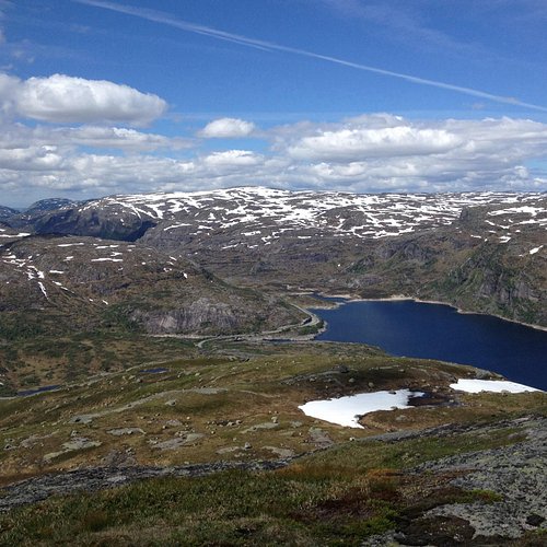
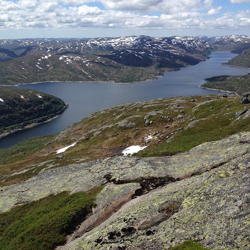
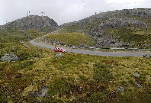
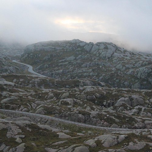
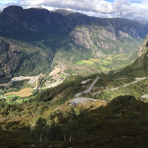
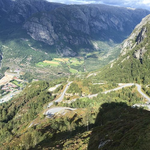
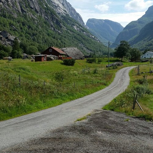
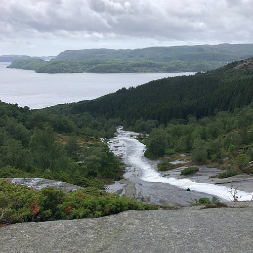
5. Lyseveien to Lysebotn
Overall Ratings
5.0 based on 22 reviews
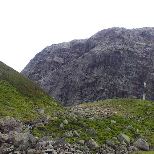
Starting Point:The walk starts on Lyseveien between Sirdal and Lysebotn, about 1 km west of Grydalen. You can park on Borsteinshyttens carpark, located on the opposite side of the road in relation to the trail. Description: Start walking in a north-west direction. After approx 5 minutes cross the stream descending from Matupstjodne tarn and follow the left side of the stream gently upwards. The path here runs along a small hillock on the south side of the tarn. Gradually climb up towards the paths highest point. At 970 meters there is a magnificent view across the Lyseheiane. From here start the descent towards Andersvatnet lake. You must first zig-zag your way down ¾ of a steep ravine and then follow the rock face of Vardekleivane on the right. After approx 100 metres cross the stream that runs from Andersvatnet lake. (Carefully follow the markings and your GPS if you have one).The path continues to the west and the terrain becomes gradually hillier and it may be difficult to find your bearings. You will pass several lakes before coming to a ravine that takes you down to Pollen (tarn). The path zig-zags down this ravine but you get a great view of the waterfall cascading down from Mount Toknuten. At the bottom of the ravine you cross the stream running from Andersvatnet lake. From here, the path gradually ascends on bare rock before you come to a valley to follow. Towards the top of the valley you can see the high mountains of the Lysedalen valley on your right and you get an idea of what awaits you later on on the walk. Lysedalen valley is one of the region's wildest valleys, with their 800/900 metre steep mountainsides that plunge into almost impassable terrain. At the end of the valley you climb over a boulderfield before continuing down the ravine to a green sheltered spot with fresh mountain water. This is a perfect spot for a break! Follow the stream down to where it winds 90 degrees around the mountains down towards Lysedalen valley. You can't fail to be impressed! The magnificent mountains that make up Lysedalen valley greet you in all their splendour. This is not the place for those who may have fear of heights! Like the stream you must also change direction (northwards). Allow yourself approx 1.5 hour to get down the steep mountainside. Carefuly zig-zag your way down. You will copme to a birch forest at approx 420 metres. It may be difficult to find the path here, as it also zig-zags through the dense forest. Look for stone cairns and red marks on the trees in the forest. When you get to a prominent overhang, the path turns 90 degrees towards the innermost farms you can see far below in Lysebotn. At 85 metres turn right, towards the spot where you must cross the river by climbing over some large rocks. There is a wire rope attached to one of the rocks, which makes crossing easy. Follow the right side of the river westwards. You then come to a grazing area for sheep, and pass through a gate that takes you onto the land of the innermost farm in Lysebotn. Remember to close the gate behind you. Cross the grazing land and use the steps that have been erected for you to cross the fence at the other end. After 100 metres you come to another fence that will lead you through a little gate into the parking area at the farm. For a detailed description including maps and information etc buy the guidebook 'Hiking in Sirdal' which includes Kjerag and Sirdals Seven Summits.
Reviewed By mihaella19 - Haugesund, Norway
Have only one thing to say : it's worth every second to spend there both on the road /Lyseveien or at the fjord down at Lysebotn .Every piece of nature is mesmerizing .
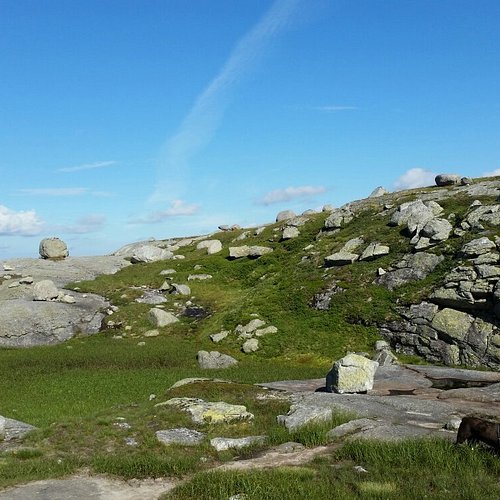
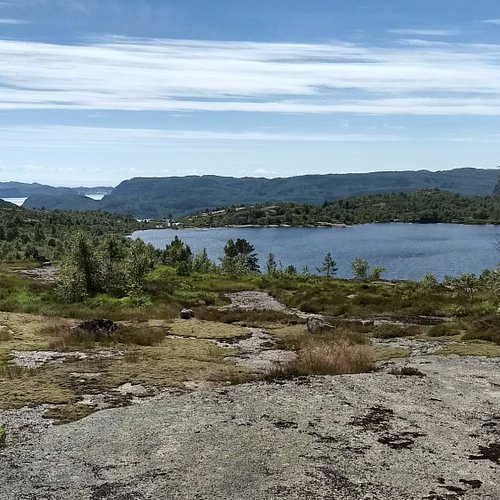
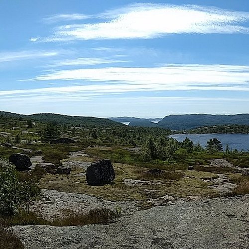
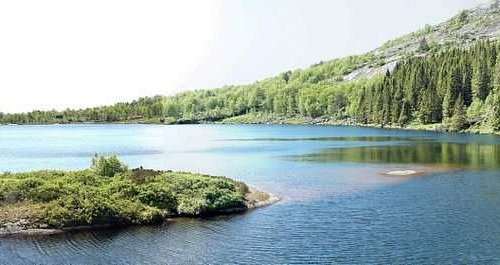
6. Hike to Skrelia
Overall Ratings
5.0 based on 27 reviews
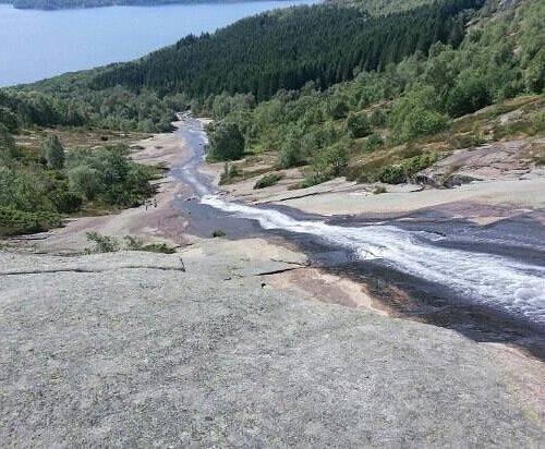
Skrelia is the most recommended area for hiking in Lyngdal. The mountain is only 350 meters high but the terrain can easily be associated with the highlands. The wonderful view combined with the view of the waterfall running down the polished mountain, makes a remarkable view. This is an easy terrain for hiking. There are many inviting small lakes for hikers who need to cool down. There are many marked trails in this open terrain, and they are of various lengths. There are trails for most people and most are on polished mountains. Some places you may need to cross brooks and areas of marsh and heather. Heather is Norway’s national flower. The shortest trail starts at the parking lot and goes straight to the waterfall. The hike takes about 10 minutes. You may use this trail as the starting point to the other marked trails in the area. Expect to spend 2-3 hours through Rassveda, around Sandvann and Homso. Here you will find an exceptional viewpoint. At this location you may see the ruins of an old fortress dating back to 500 A.D. It is also possible to walk down the mountain alongside the waterfall all the way to the fjord. On the way you will notice remnants of earlier mills and sawmills. Direction: From the town centre of Lyngdal follow the road to apta. Drive 3 km to you see the sign “Skrelia”. From here it is 9 km on a curvy gravel road to the parking lot. You cannot miss it! From the parking lot walk 50 meters to the gate that marks the beginning of the trails to Skrelia. The trails are marked with red/ yellow paint directly on the mountain. Hiking to Skrelia is reviewed in the book ”Oppdag Lister” from 2009.
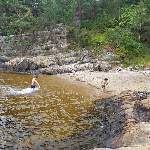
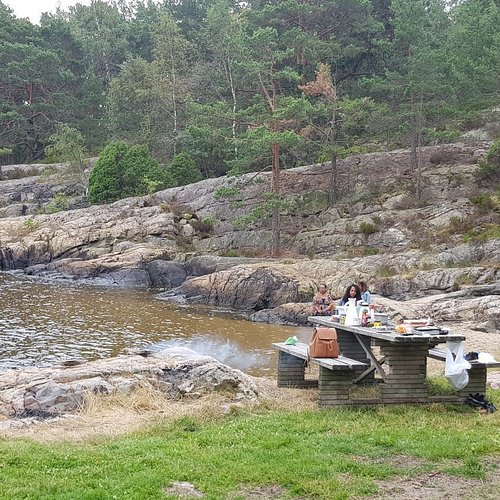
7. Furulunden
Overall Ratings
5.0 based on 45 reviews
Reviewed By peterjK2382EL - Oslo, Norway
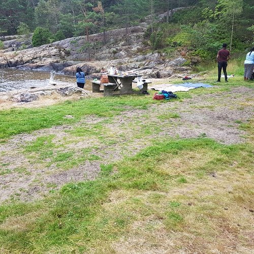
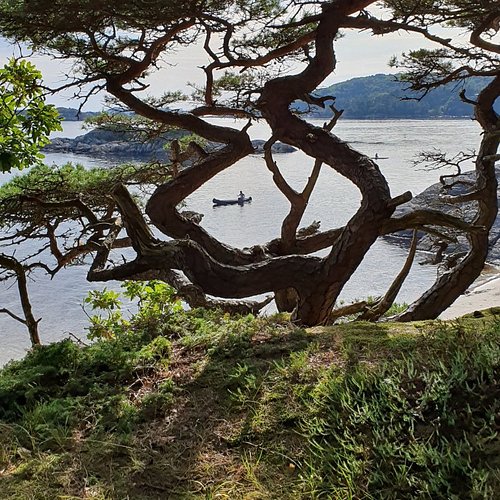
Furulunden is a wonderful pearl in the heart of Mandal. Just about a km from the city, Furulunden offers great biking, jogging and walking trails in beautiful nature. The trails lead to various sandy beaches and coves around the peninsula. You can always find a beach in the sun, most shallow, well suited for small children, but some with platforms you can swim out to. You can picnic everywhere, or buy something at the cafe at Risørbanken, or just plukk a handfull of wild berries. The jogging trails are often covered with wood chips providing a soft surface, the bike trails are mostly flat and suited for everyone. If you are camping at Sjosanden, it’s a MUST. Take a morning jog or evening stroll.
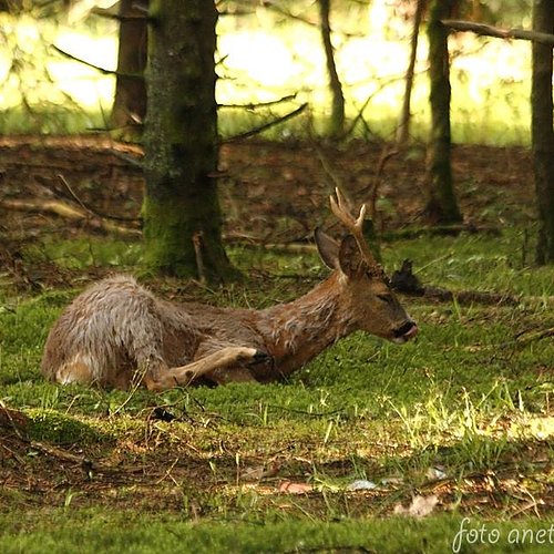
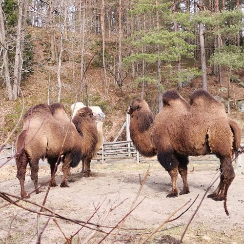
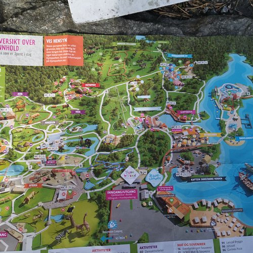
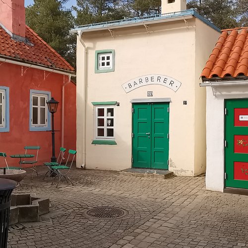
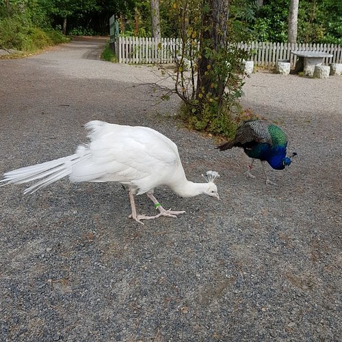
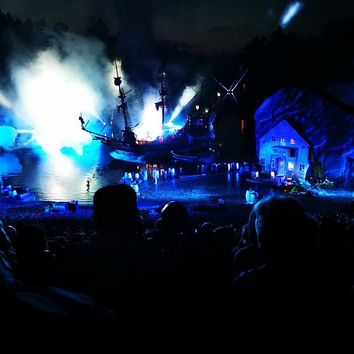
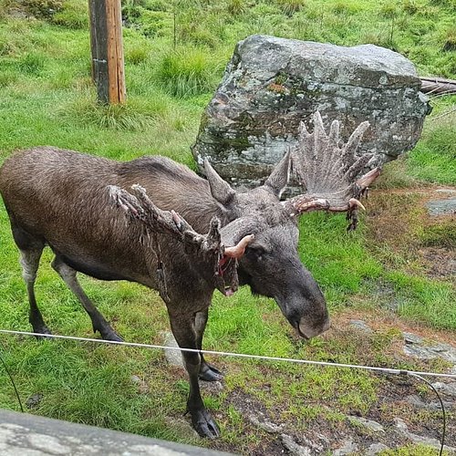
8. Dyreparken
Overall Ratings
4.5 based on 1,355 reviews

Kristiansand Dyrepark is the number one tourist attraction in Norway, attracting close to 1 million visitors each year. It consists of more than 150 different animal species, entertainment, shows, amusement park as well as a seperate water park called Badelandet.
Reviewed By phillipka - Kristiansand, Norway
Kristiansand Zoo is more than a regular zoo: There's an amusement park and a water fun park, as well. Great care is taken to make sure that the animals have plenty of space, and that's good for the animals. Sometimes it´s not so good for the visitors, as the animals tend to find shelter away from sight of the visitors. My son found the tigers and the cheetahs to be the most exciting, but the rain forest is also always interesting. I would recommend spending two days here, if you have the time.
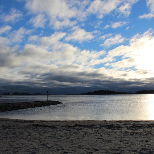
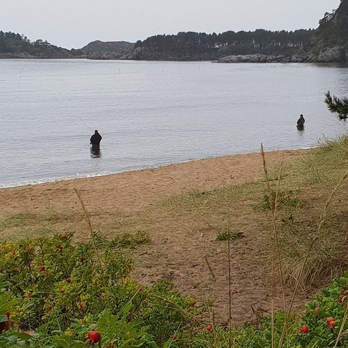
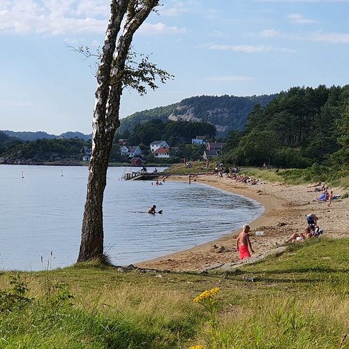
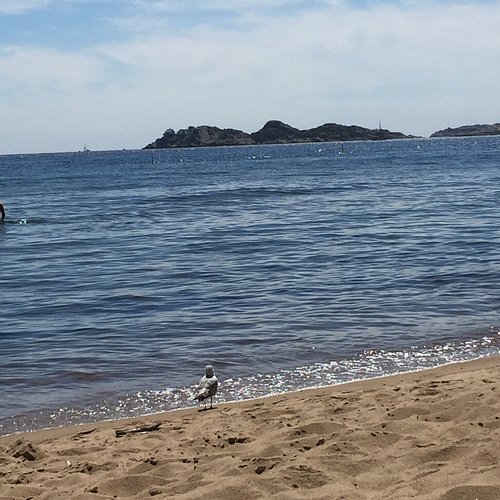
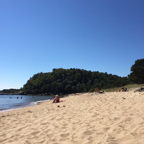
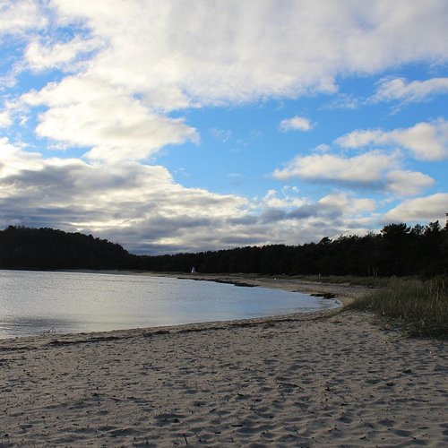
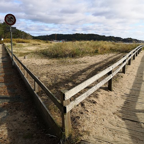
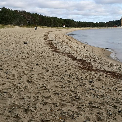
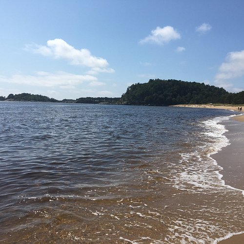
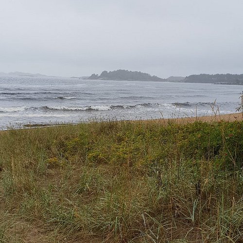
9. Sjosanden
Overall Ratings
4.5 based on 63 reviews
Reviewed By Travellerall0ver - Dar es Salaam, Tanzania
Fantastic sandy long stunning beach! Camping and cabin rentals available. Great outdoor areas. Good for various sea boards.
10. Postveien from Kristiansand to Brennasen
Overall Ratings
4.5 based on 3 reviews
Postveien (The Postal Route) is part of the National Cycle Route No. 1 and is a 9 km scenic road, preserved as it was built in the 1790s, between Stavanger and Oslo. The road Kristiansand / Songdalen passes Groheia and along Kvislevann from the Krossen in Kristiansand to Farvannet in Songdalen. Access from Highway 9 by Krossen-Suldal and from E-39 by Farvannet. Recommended maps: