


City: Pahang
Top Things to do in Pahang
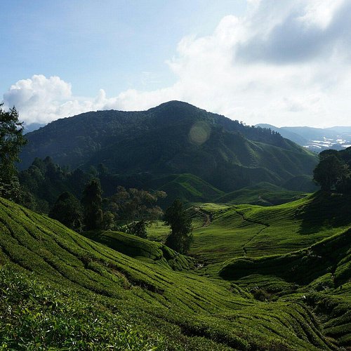
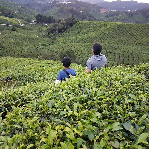
Things to do in Pahang, Malaysia: The Best Mountains
Pahang (Malay pronunciation: [paˈhaŋ]; Jawi: ڤهڠ), officially Pahang Darul Makmur with the Arabic honorific Darul Makmur (Jawi: دار المعمور, "The Abode of Tranquility") is a sultanate and a federal state of Malaysia. With an area of 35,840 square kilometres, it is the third largest Malaysian state and the largest in Peninsular Malaysia. Its territory comprises roughly 11% of the total land area of Malaysia. With 1.63 million inhabitants, it is Malaysia's ninth most-populous state. Pahang's capital and largest city, Kuantan, is the eight largest urban agglomerations by population in Malaysia.
Restaurants in Pahang
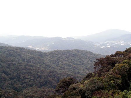
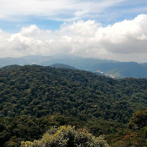
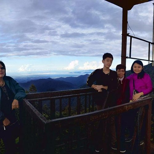
1. Gunung Yong Belar
Overall Ratings
5.0 based on 1 reviews
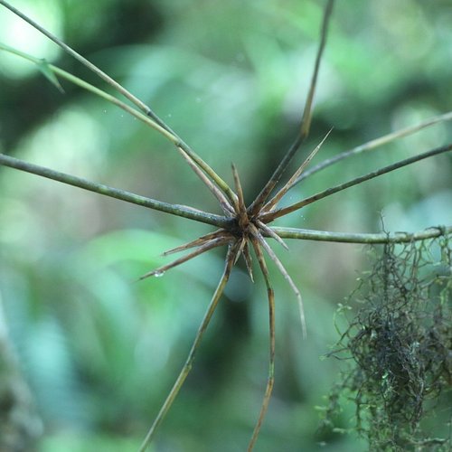
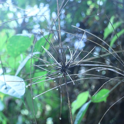
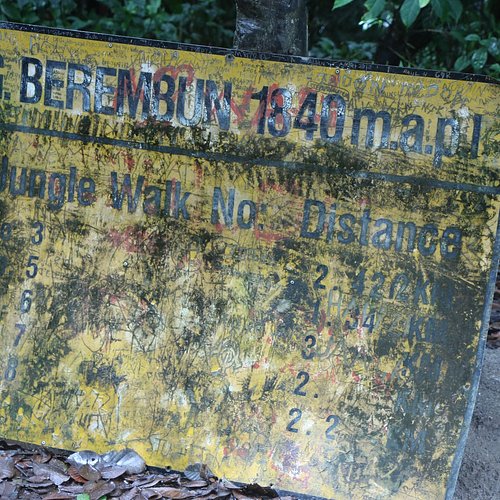
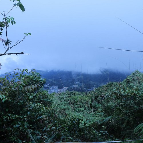
2. Mount Berembun
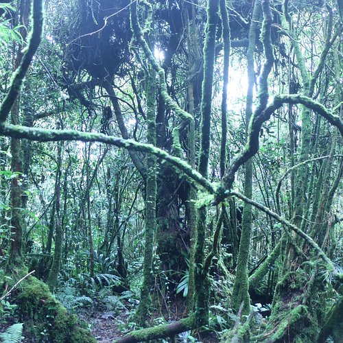
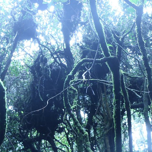
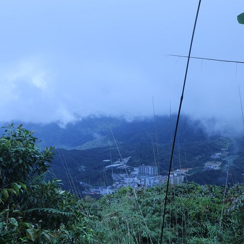
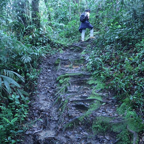
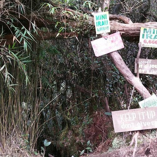
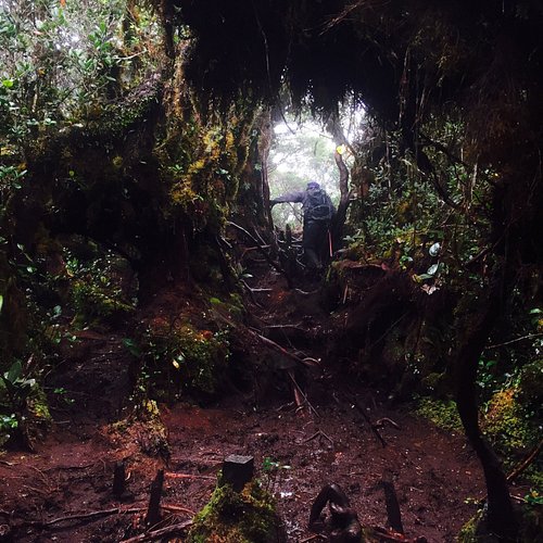
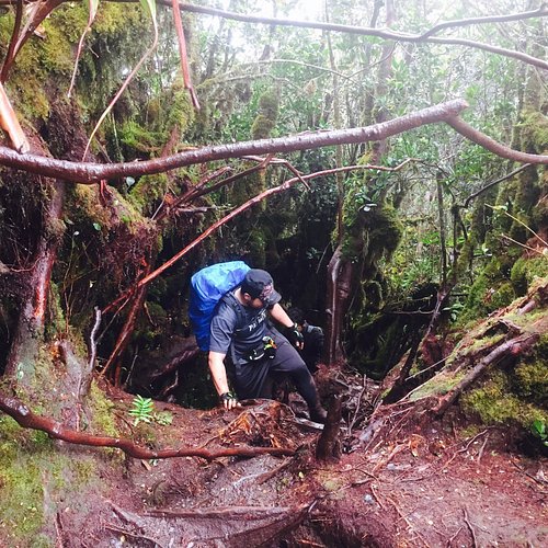
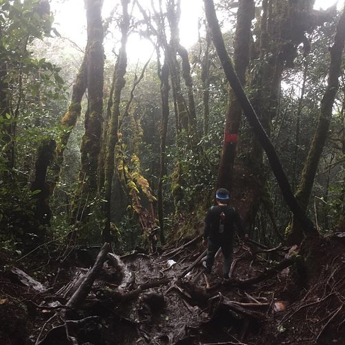
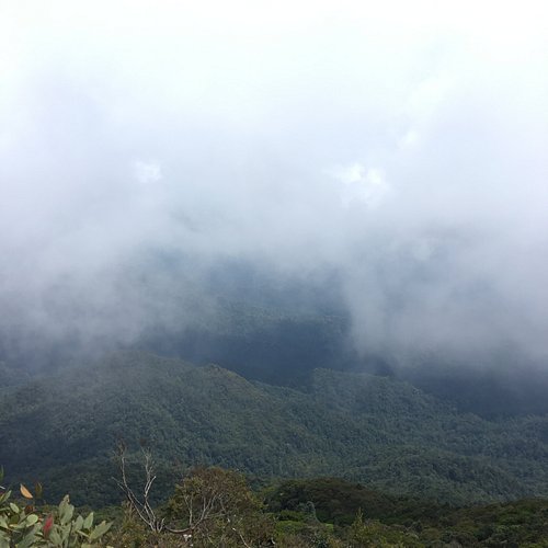
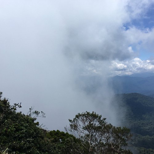
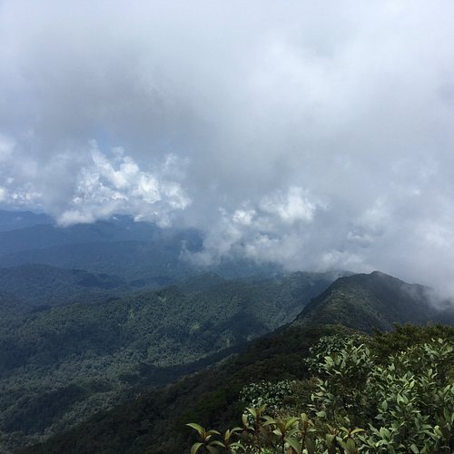
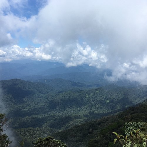
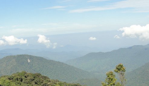
3. Gunung Irau (Mount Irau)
Overall Ratings
4.5 based on 49 reviews
Reviewed By csChai - Malaysia, null
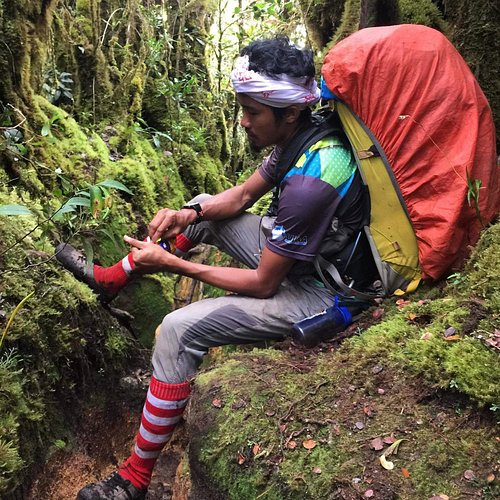
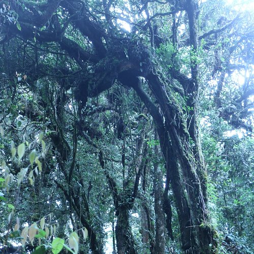
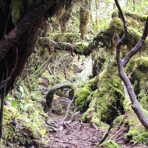
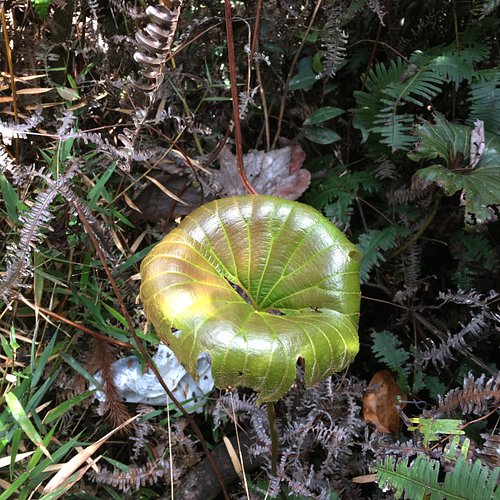
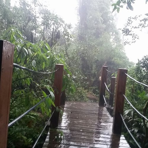
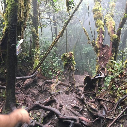
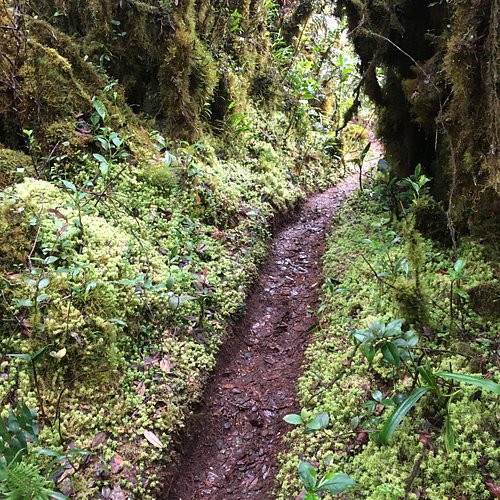
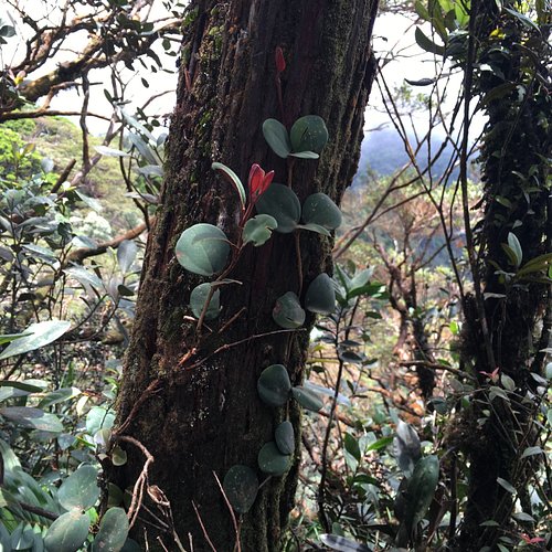
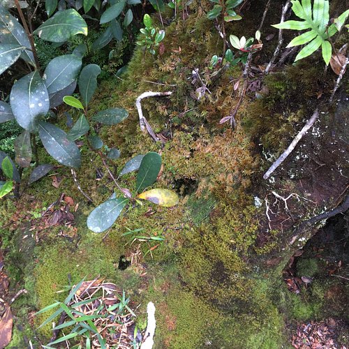
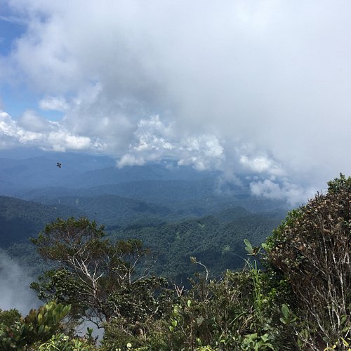
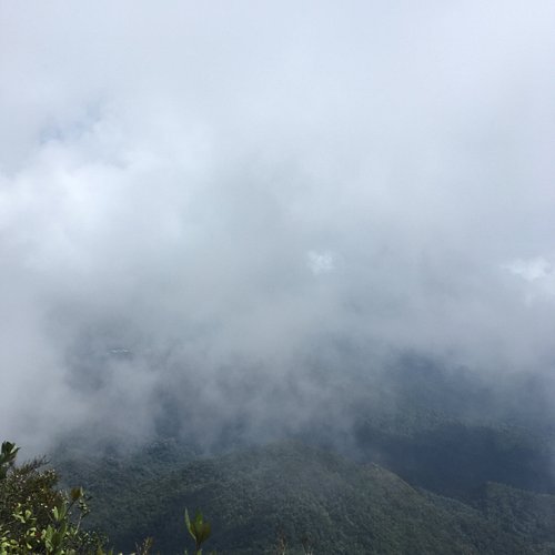
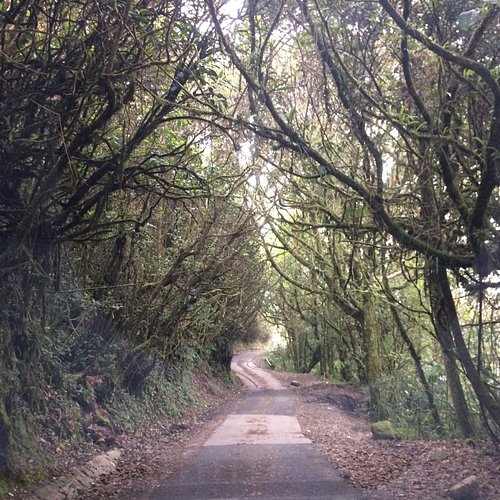
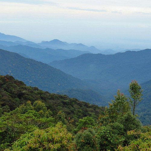
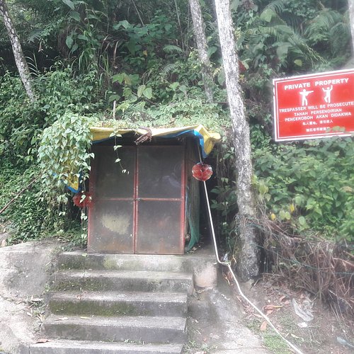
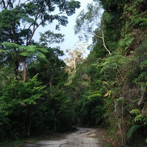
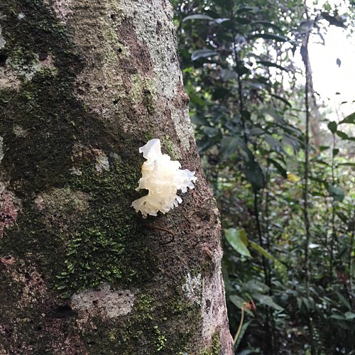
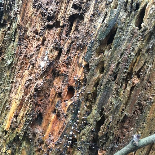
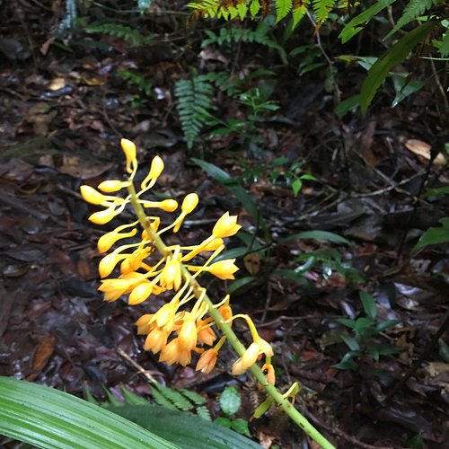
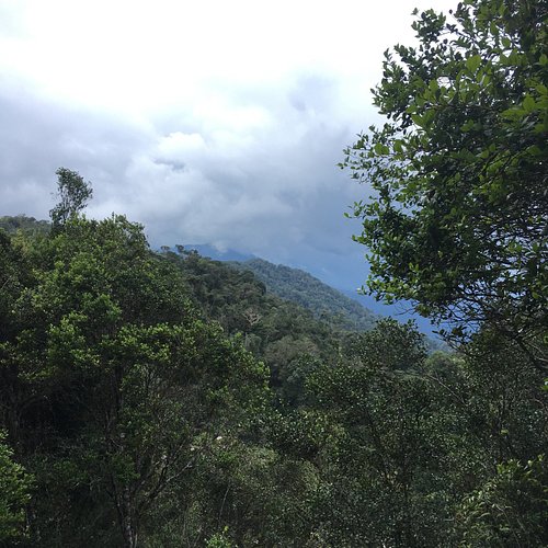
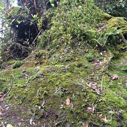
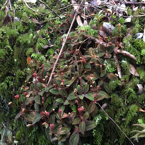
This is a unique and beautiful mountain to hike. It is different from the other mountains in Malaysia in many ways. It is cool, misty, wet, mossy, muddy, slippery and in certain parts, dark. The trees and vegetation on this mountain is unlike those in other tropical jungles. Every hiking and outdoor enthusiast should hike this mountain at least once. To get to the trail head, one has to enter through the Mossy Forest entrance and walk to the end of the wooden broadwalk. The entrance fee is RM10 (adult), RM5 (senior citizen and children) and RM30 (foreigner). There is a hut that serves as the permit checking counter at the end of the broadwalk. Only hikers with a permit from the Pahang Forestry Department are allowed beyond this point. There are a total of 10 checkpoints (CP) from trail head to the peak of Gunung Irau at 2110 m asl. CP1 (Balak 1989 m asl), CP2 (Taman 1980 m asl), CP3 (Tali 1949 m asl), CP4 (Pisang 1873 m asl), CP5 (Pergam 1947 m asl), CP6 (Mini Irau 2024 m asl), CP7 (Slide 2028 m asl), CP8 (Bonsai 2043 m asl), CP9 (Batu 2048 m asl) and CP10 (LOTR - Lord of the Rings, 2089m asl ). From CP1 to CP4, the trail is descending. Then from CP4, it ascends all the way to CP6, Mini Irau. This is an excellent place to stop for a rest and refill our tummies as there is a wide area of flat land here. Officially, the trail is open from CP1 to CP6 only. Parts of the trail farther up have been damaged by landslides. Extra caution is required if one chooses to proceed to the peak. From CP6 the trail descends to CP7. Then it is ascending all the way to the peak which is a short distance (15-20 minutes) after passing CP10. In this section of the trail (CP7 to Peak),the atmosphere and vegetation is totally different with beautiful wild orchids, pitcher plants, bonsai-like shrubs and moss-covered trees enveloped by the thick mist. Truly enchanting! The total distance one way is about 5 km. The average time it takes to hike from the trail head to the peak is about 3 to 4 hours, on a leisure pace with many photography stops. So, start early and give yourself about 7 to 8 hours to complete your hiking adventure on this majestic mountain. Hikers are advised to turn back at 2.00 p.m. for safety reasons as the forest can get dark early and fast. The trail is clear and there are no sharp ascents or descents. Just be careful on where you put your foot on, the tree roots are smooth and slippery, the ground is wet and soft. In my personal opinion, it is not necessary to engage a professional guide for this hike. However, it is not advisable to hike alone, it is safer to go in a group. Happy Hiking!
4. Gunung Rajah
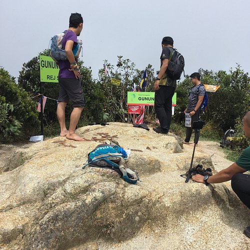
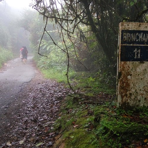
5. Gunung Brinchang
Overall Ratings
4.0 based on 138 reviews
Reviewed By lionel300693 - Kuala Lumpur, Malaysia
My Australian Group of 5 pax enjoyed themselves. Early morning is the best to go to this place and you can find many people trekking so the chances of getting lost is remote but stay in course. And don’t venture too far away from the normal route. A map can be obtained from most of the Hotels or from tourist information centre