


Top Things to do in Buskerud
Things to do in Buskerud, Eastern Norway: The Best Hiking Trails
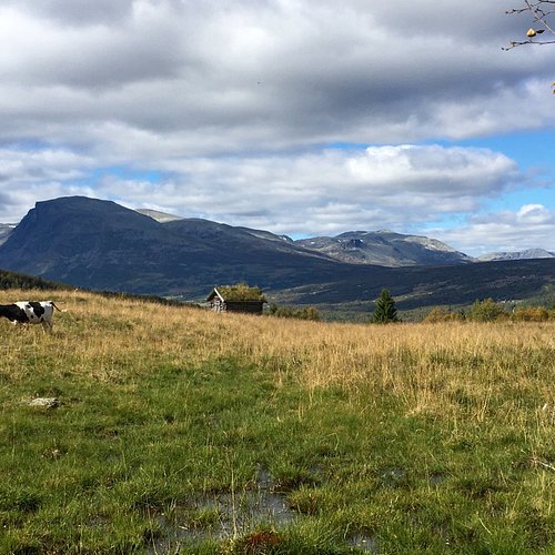
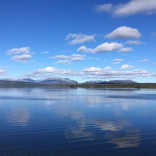
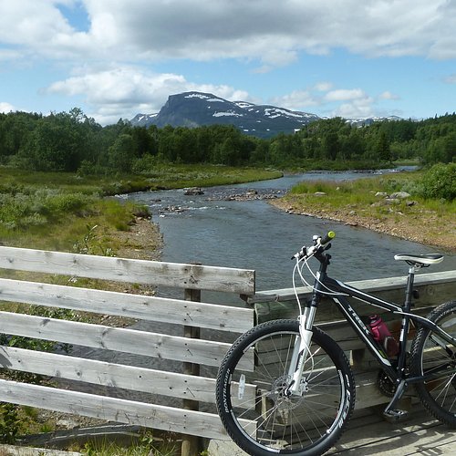
Discover the best top things to do in Buskerud, Norway including Venashovda, Trommenatten, Bygdeborgen, Trekking in Aurlandsdalen, Hike to Veslehodn, Around Lake Lauvsjoen, Furumo idrettspark, Round Trip of Tisleifjorden Golsfjellet, Ranastongi, Storhovda.
Restaurants in Buskerud
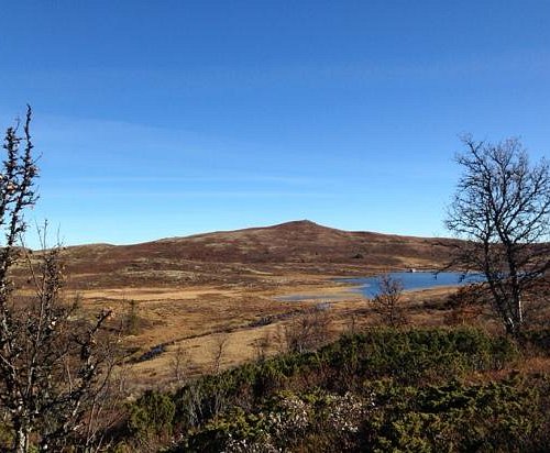
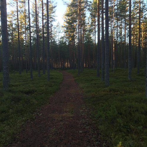
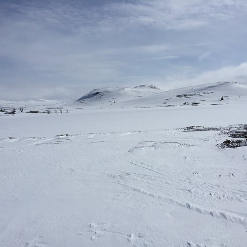
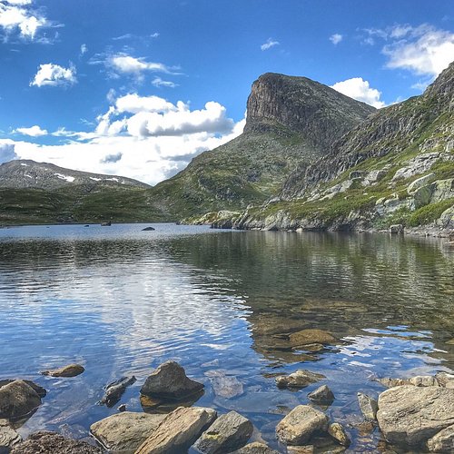
1. Venashovda
Overall Ratings
5.0 based on 1 reviews
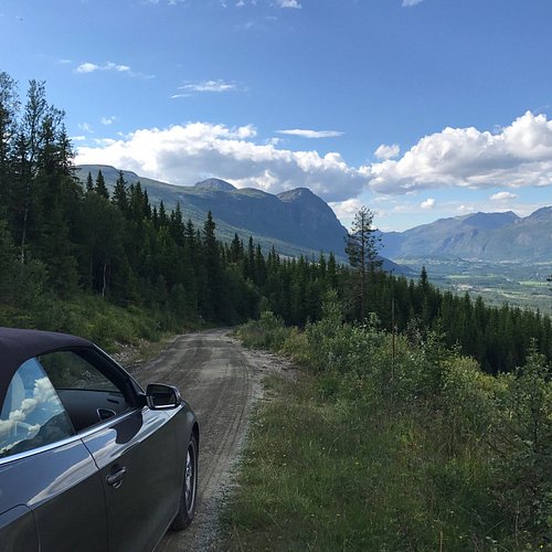
Drive from Hemsedal center to Tuv. Approx. 4 km after Tuv, turn to the right at signpost to Lio. After approx. 650 m there is a parkingplace. Walk 50 m and follow the small road to the right. From the marked path. Very easy trip - 125 m vertical and aprox. 1,5 km one way.
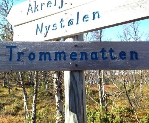
2. Trommenatten
Overall Ratings
5.0 based on 3 reviews
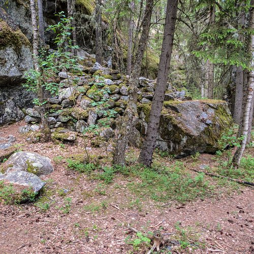
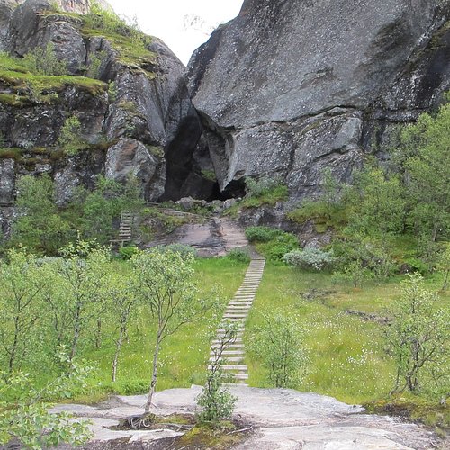
3. Bygdeborgen
Overall Ratings
5.0 based on 1 reviews
Good trail. From 170 m.a.s.l. In the dense forest in the hills north of Rukkedola River, not far from residences in Nesbyen, are some peculiar stone walls. They have been there a long time, but who put them there, and why? The conventional theory has been that they were trapping fences, forcing animals off the steep cliffs above the river. Now some say they might be the ruins of a town fortress. The theory is strengthened by the fact that there is a spring there, providing constant fresh water. Either way, this is still a special memory of the earliest inhabitants of Nesbyen. Route description: The hike starts at the parking lot by Hallingdal Museum. Cross the pedestrian bridge over Rukkedola and go steeply up to the left and onto the easily seen trail that climbs uphill. After app. 250 meters, a new trail goes downwards to the left. Follow this. After a while, the trail cuts steeply up through the hills going down towards the river. The town fortress sits on a flat shelf between two steep hills. If you go back the same way, you’ll get a hike of 1.5 km, but we definitely recommend you follow the old path further, and see how well-made it is, and how it follows the terrain. When you enter the road upwards to Bringenatten, follow it about 100 meters upwards before you turn right, onto one of the old trails that used to connect the old small farms in the area. The trail will bring you back towards Nes, just a little higher up on the hillside. The hike is 2.5km long as a round trip. Location: By Rukkedola Starting point: Parking lot, Hallingdal Museum Distance: 2.5 km as round trip GPS: 6714104 N, 504639 E
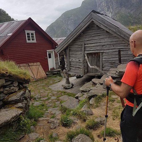
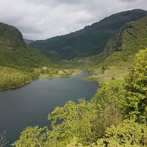
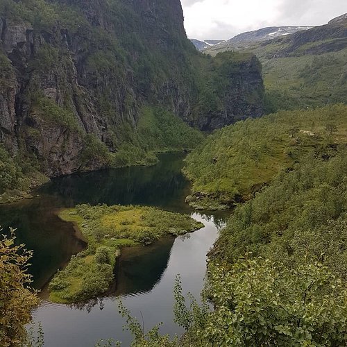
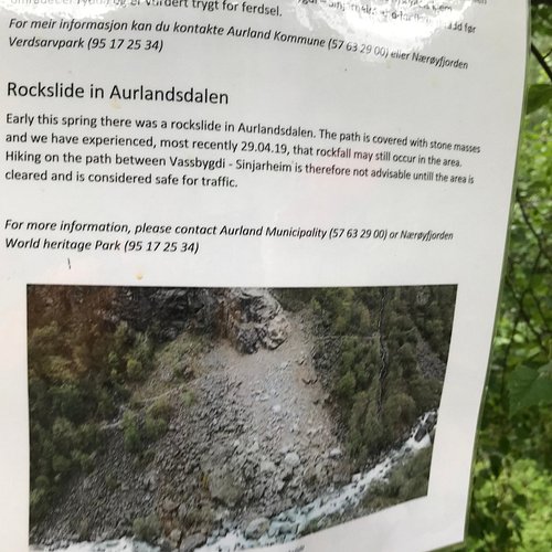
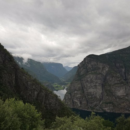
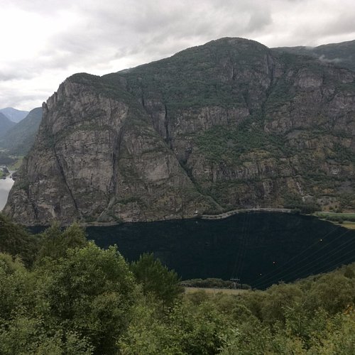
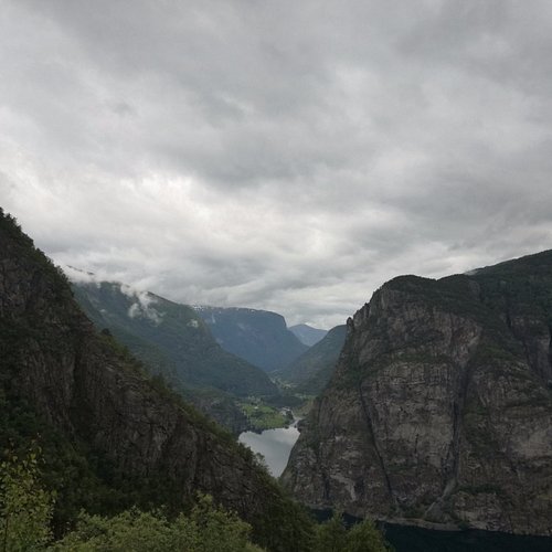
4. Trekking in Aurlandsdalen
Overall Ratings
5.0 based on 21 reviews
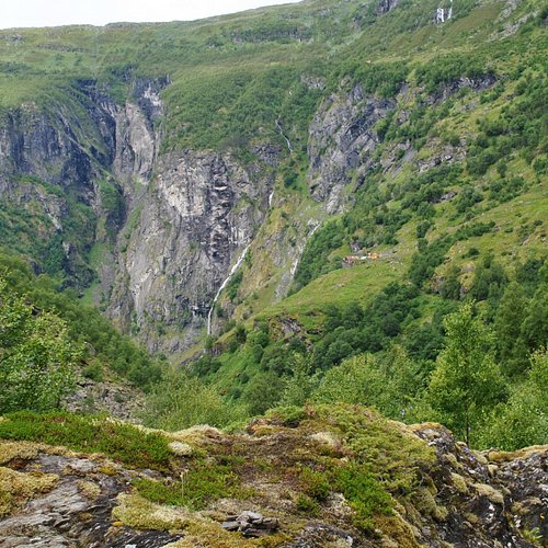
Program day by day Meeting point: Bardola Hoyfjellshotel, N 3580 GEILO Thursday: Arrival in Geilo Transfer to Geilo and check-in at Bardola Hotel. Dinner. Join the group coming from Hallingdal in the hotel. The guide will inform about the program. Friday: Train to Finse – hike across Hallingskarvet, 5,5 – 6,5 hrs The program starts with the train from Geilo to Finse. Hiking from Finse up and across St.Paul (1.690m), and then to the DNT-lodge Geiterygghytta, and follow the old road to the west end of tunnel. Good paths, but it can be snow some parts. Pick-up by hotel bus to osterbo Fjellstove for 2 nights. Dinner Saturday: Aurlandsdalen – upper part, 3-4 hrs From osterbo we take the local bus back to the west entrance of tunnel, and hike above the road tunnel and get down to the lodge Steinbergdalen. The last part will also have some uphill before we descend to osterbo Fjellstove. Possible to go back by bus from Steinbergdalen. Dinner. Sunday: Aurlandsdalen – lower part, 6-7 hrs The most spectacular hiking part will be the narrow valley from osterbo to Vassbygdi. You are practically alone in the nature. Local bus brings us to Aurland Fjord Hotel. Dinner. Monday: Basic tour ends after breakfast. (Alternative to include the train return to Geilo)
5. Hike to Veslehodn
Overall Ratings
5.0 based on 8 reviews
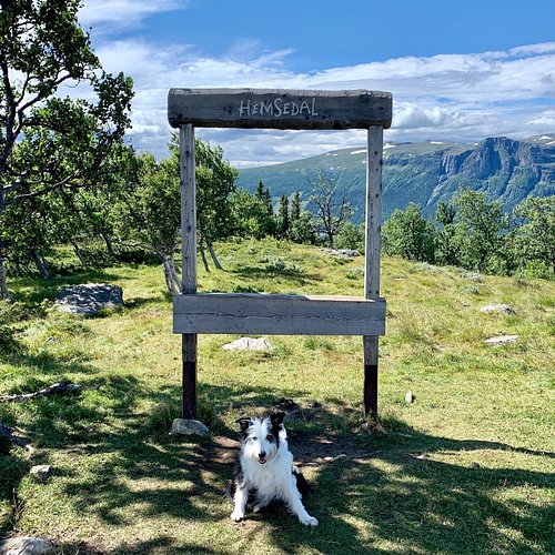
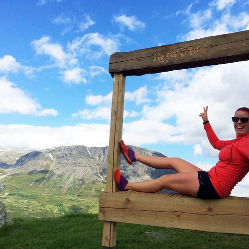
Hemsedal has many beautiful hiking tours for all levels. The hikes are well marked and signed and you can buy a very good hiking map for Hemsedal were you have all hiking paths. One of the tours we recommend is Veslehodn 1300 masl. Veslehodn is a spectacular hike with great scenery and heights. The trip can be combined with a trip to Hydnefossen that has a waterfall of 140 meters, or visit the older brother Storehodn 1482 masl. Velsehodn is a trip for the whole family or for the more active persons. The trip takes about 5 hours up and down and is a total 4.2 km. Every Tuesday and Friday at 10:00 am from 5. of June, there is guided tour to Velsehodn. The starting point is outside of Hemsedal Tourist Office . The trip is part of Topp20 program to Hemsedal, which means that the trip is well marked and signposted. Have a great experience in our beautifull nature! Please do not litter!
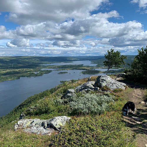
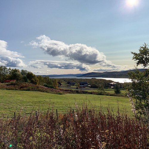
6. Around Lake Lauvsjoen
Overall Ratings
5.0 based on 1 reviews
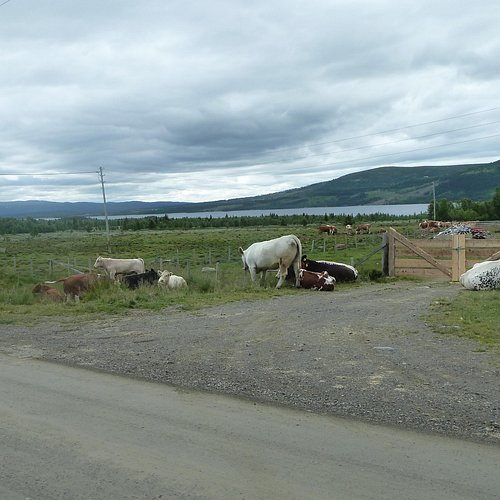
This is the family's own favourite trip. Here you can enjoy a break by the water, go swimming, rent a kanoo or visit the Lauvsjo farm. This trip is suitable for everyone that can handle their own bike. You can park your car by the Lake Lauvsjoen (there is parking along the Golsfjellveien). The easiest way to Lauvsjoen is to follow the sign to Golsfjellet Vest from the town center. From the parking you go a couple of meters in the direction of the city center (to the right), then you follow the carriage-path towards the lakes of Vesletjernet/Lauvsjoen. After about one kilometer you get to the lakes where there is a smaller road going to the swimming and the rest stop. The road will continue to the only hill, about 300 meters long. Halfway up the hill you can go fishing or rent a kanoo at the mountainfarm Lauvsjostolen. This mountainfarm is also open for visits every Wednesday and Thursday from July 1st until August 13th. Continue on the road back to the Golsfjellsvegen and the parking. Difficulty: Easy Ability for biketrolley: No Lowest/highest point: 905/948 m. Total rise: 85 m. Have a nice trip!
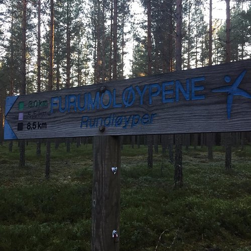
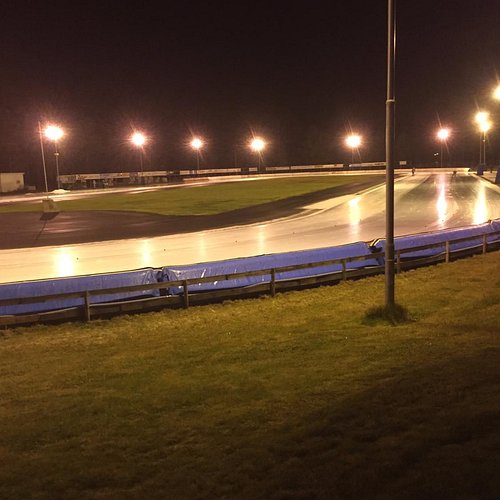
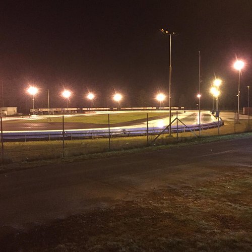
7. Furumo idrettspark
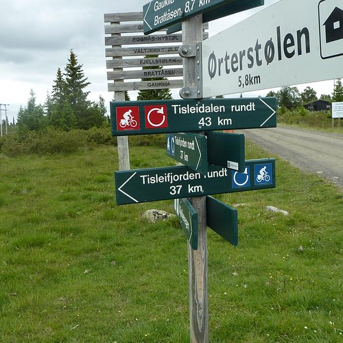
8. Round Trip of Tisleifjorden Golsfjellet
Overall Ratings
4.5 based on 10 reviews
Follow the main road from Oset Hoyfjellshotell along lake Tisleifjorden. Pass Golsfjellet Hotell and make a right after a few hundred metres uphill climb, follow the signs to Loggestolen. From Loggestolen to Noreli the route follows a somewhat rough trail. the quality of this trail makes the route not suitable for small children, whether on bikes or on trailers. This trail will be improved and moved during July/August 2007. From Norely, follow the road to Lykkja, on via Flyvatn and Langestolen to Buastolen. Turn right and cross the Tislei dam on your way back to Oset Hoyfjellshotell. The route has many beautiful scenic points and great opportunities for swimming and picnicing. There is a shop at Langestolen.
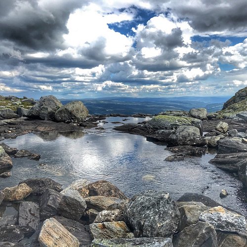
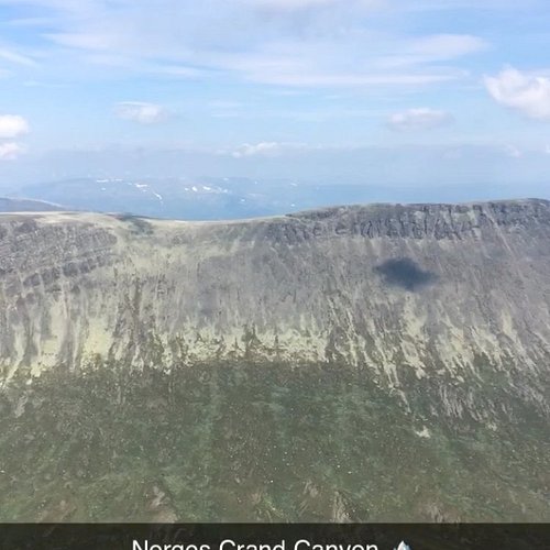
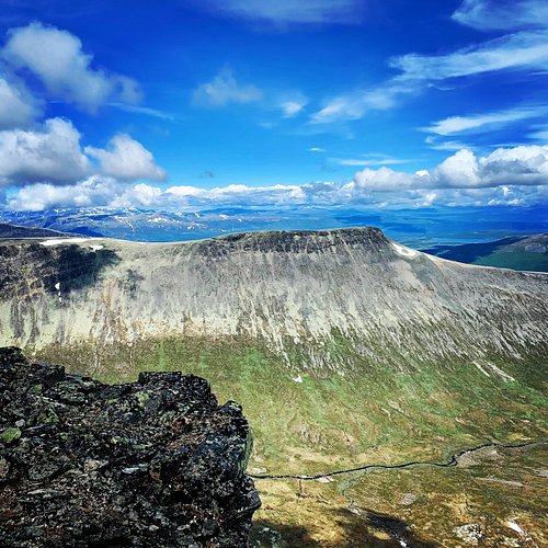
9. Ranastongi
Overall Ratings
4.5 based on 8 reviews
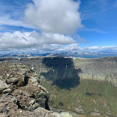
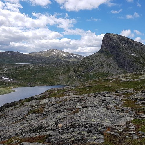
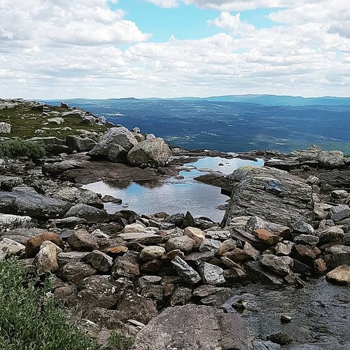
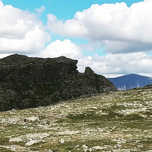
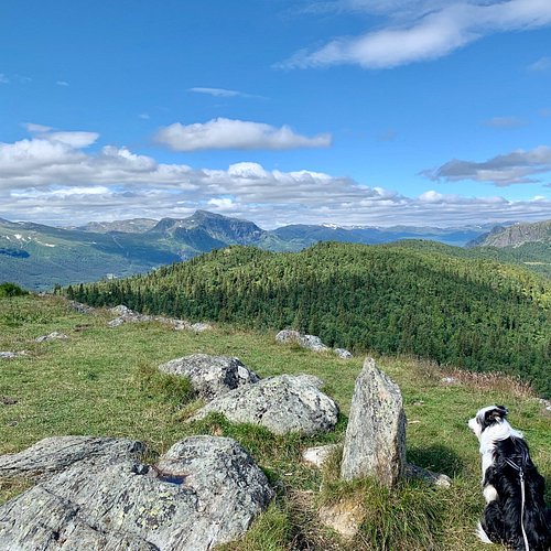
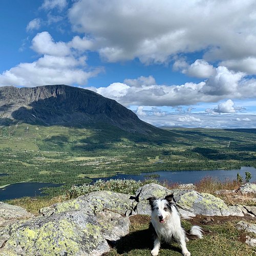
From the summit of Ranastongji, there is a fantastic view over Jotunheimen, Hurrungane and the Jostedal glacier. Just behind the summit is a very special canyon that has a shear drop of approx. 600 m. Ranastongji is one of the 20 mountain summits in Hemsedal’s hiking programme, “Top 20 summits”. Distance: 12 km Duration: 6 hrs. Degree of difficulty: Requires endurance
Reviewed By mortens258
Ranastøngji is very beautiful. The Road to get there is a bit tricky, but it’s totally worth the trouble. There is a toll road of 50kr to get there, but it’s very secluded and on the 2x6,5km walk, we met 8-10 people. The first 4km of the hike is quite easy with good paths along beautiful waterfalls. The last 2,5km is quite tricky with a loose stones everywhere. We did the trip in 6hrs, 4 active hours and 2 hours for breaks. The marking is okay in good weather, but i would not recommend this hike in foggy weather. Visibility needs to be quite good - both in order to find way, but also in order to get the full experience. You need to cross a river, this was no trouble on a sunny day in August, but I imagine it would be a bit tricky during the flom in the spring season.
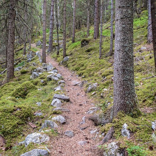
10. Storhovda
Overall Ratings
4.5 based on 2 reviews
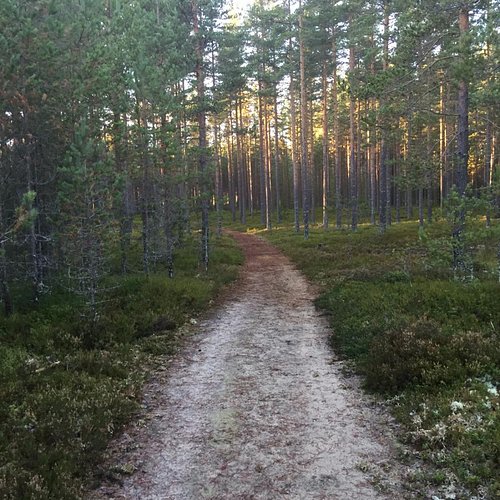
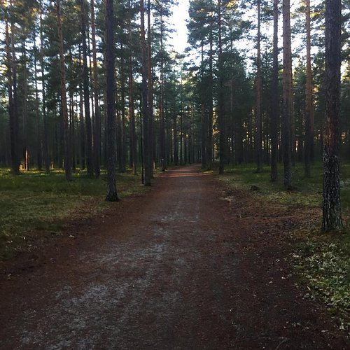
Storhovda is a very nice hike with a beautiful view towards Skogshorn mountain and Lykkja. Suitable for children and adults. The hike goes through the woods and mainly on a path. The hike is well marked with signs and blue dots on trees and stones. This is an easy hike - approx 240 m vertical and 1,5 km one way. The trip can also be combined with Gjeiteberget and Gravsetasen rundt path. How to get there by car: From the town centre of Hemsedal, drive 4 km to Ulsak (direction Gol) and take to the left to Lykkja. Park at Gravset, where you see a sign with Storhovda on the left hand side of the road.