


Top Things to do in Ha Municipality
The 5 Best Outdoor Activities in Ha Municipality, Western Norway
Discover the best top things to do in Ha Municipality, Norway including Naerland Beach, Ogna Beach, Refsnes Beach, Mor Norge og Synesvarden, Nasjonal Turistveg Jaeren.
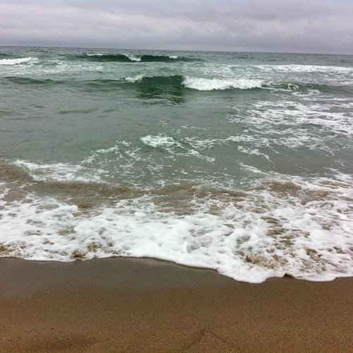
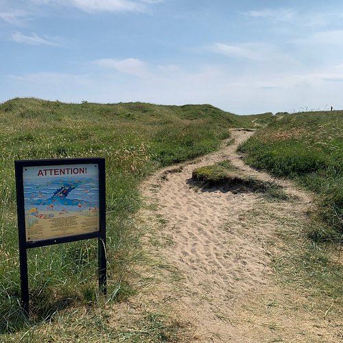
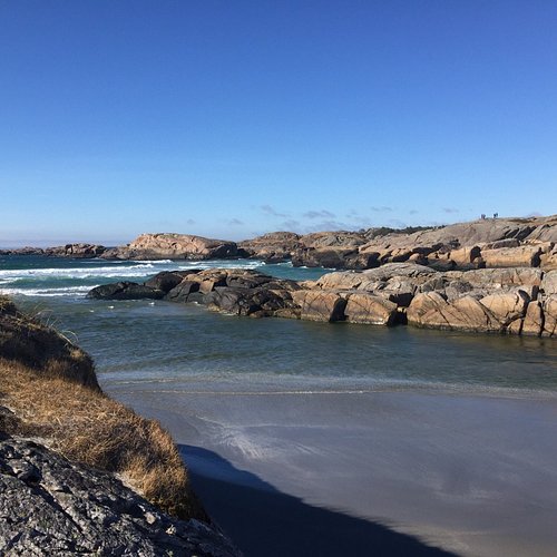
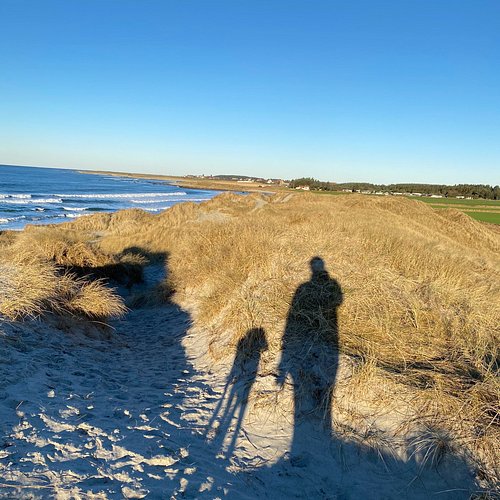
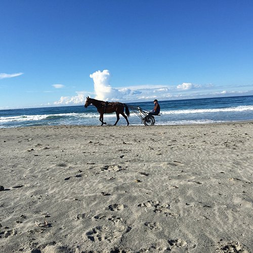
1. Naerland Beach
Overall Ratings
4.5 based on 2 reviews
Naerland beach parking, toilet in Naerlandsparken 300 m from the beach.
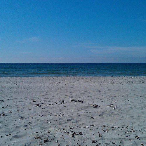
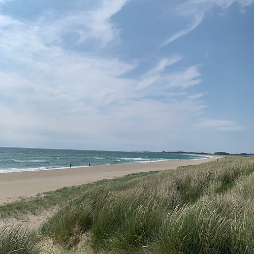
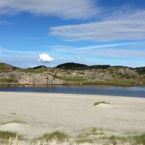
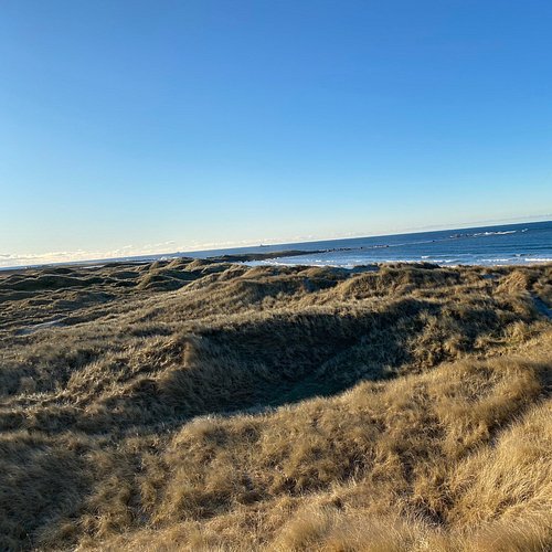
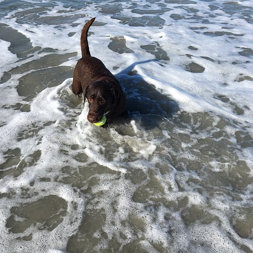
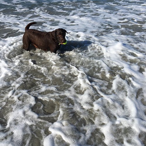
2. Ogna Beach
Overall Ratings
4.5 based on 20 reviews
Ogna beach sandy beach with rocky shoreline, with polished rock faces and a river mouth. Parking, follow the signs. Kiosk at the camping. Walking paths.
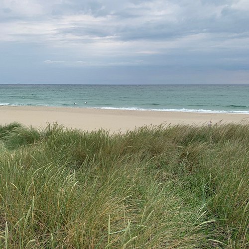
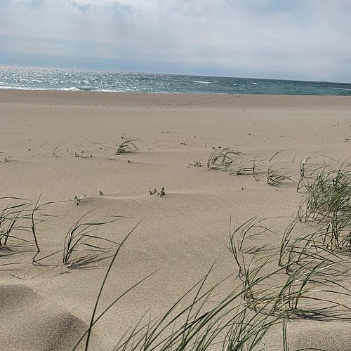
3. Refsnes Beach
Overall Ratings
4.0 based on 5 reviews
Refsnesstranden beach is 1.5 km long. Toilets at parking area. Located alongside Rv507. Signposted parking.
4. Mor Norge og Synesvarden
Overall Ratings
4.0 based on 3 reviews

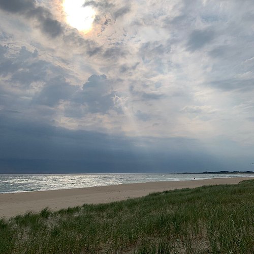
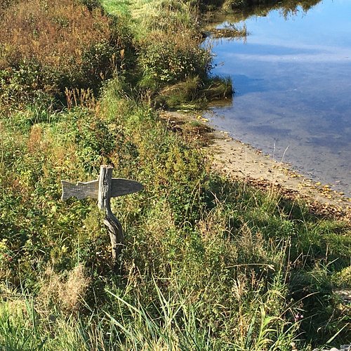
Hiking to Synesvarden and “Mother Norway” These heath moorlands lying in the municipalities of Ha and Time are representative of the landscape of Jaeren’s traditional grazing landscape and are therefore significant in a national cultural historical way. In addition to the view you will see hares, foxes, deer and varied bird and plant life. Steinkjerringa – the stone Wife or Mother Norway as it was originally called, is a sculpture in a scenic conservation area. “Mother Norway” was hewn in 1898-99 by Sigurd Sorendsen. In 1925 Emelankton Aadnesen from Naerbo and the youth of Naerbo and Varhaug joined forces to purchase the sculpture. In1927 it then was erected in position at Anikdalshea. Access: Own transport. Drive route 44 (Rv44) to Varhaug, turn left on route 504 and follow the signs towards Holmavatn, where there is parking facilities Facts: Track: Marked path from the parking area at Holmavatn Distance: Holmavatn – Synesvarden - Steinkjerringe – Holmavatn: 8km Height variation: 230 metres Terrain: Slightly undulating No responsibility for any changes Other trails in the area: - Vandavatn-Synesvarden-Steinkjerringa-Vandavatn 12 km. - Korphaugane-Steinkjerringa 5 km. Access from Holmavatn (Ha municipality) or from road Fv133 between Kartavoll and Brusand, Topdalsveien. Parking.