


City: Chile
Top Things to do in Chile
Top Hotels in Chile
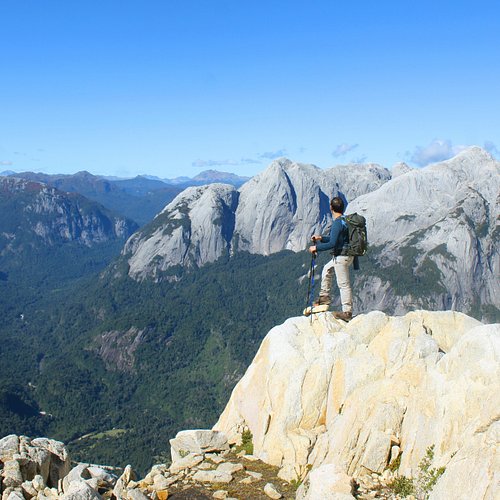
The 10 Best Hiking Trails in Chile, Chile
Coordinates: 30°S 71°W / 30°S 71°W / -30; -71
Restaurants in Chile
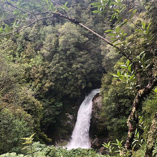
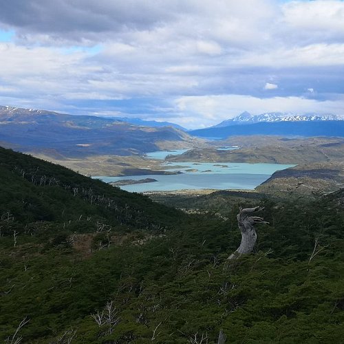
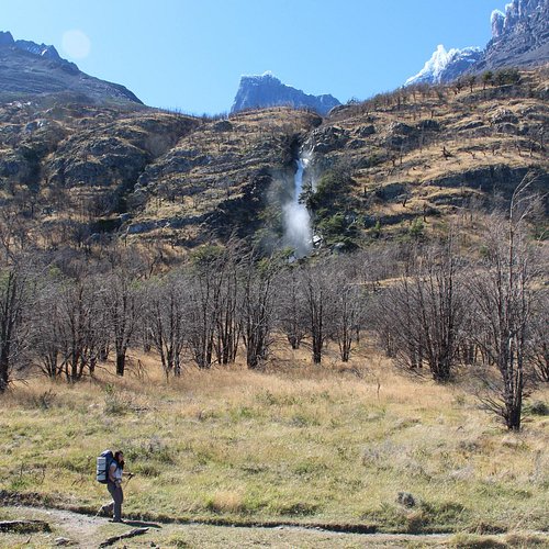
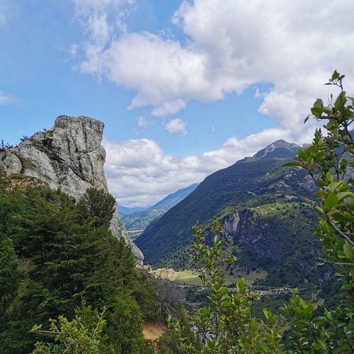
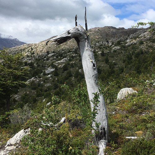
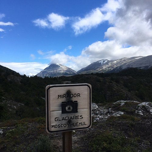
1. Sendero Padre Garcia
Overall Ratings
5.0 based on 4 reviews
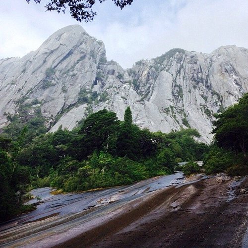
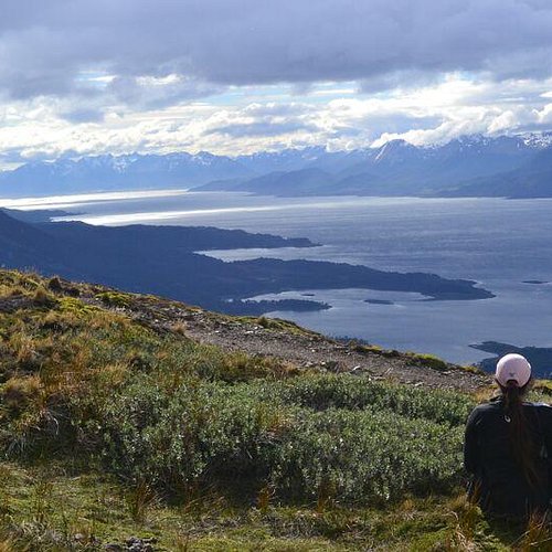
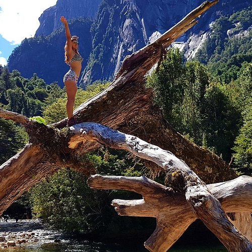
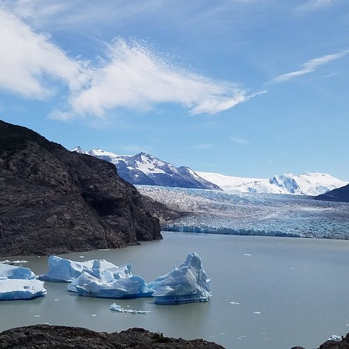
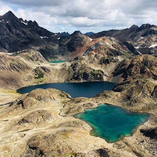
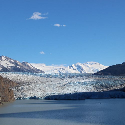
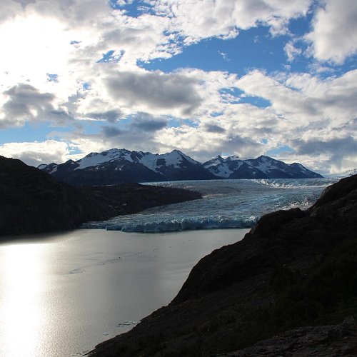
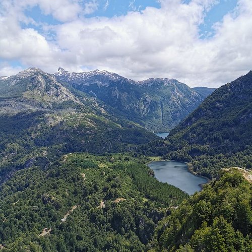
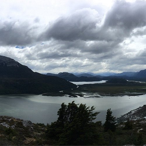
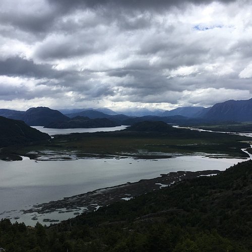
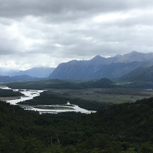
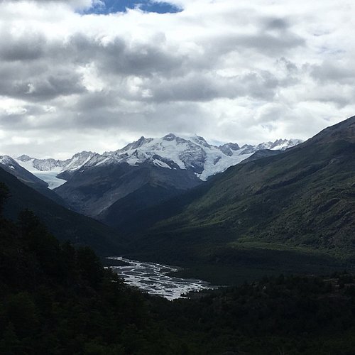
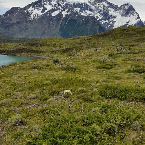
2. Valle Cochamo
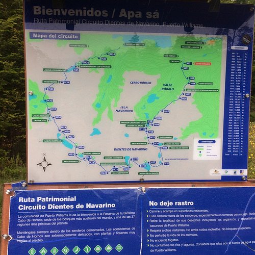
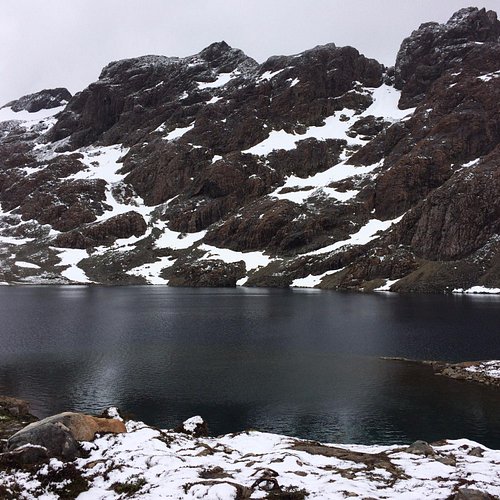
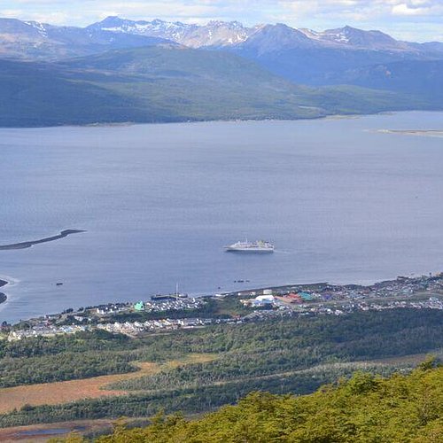
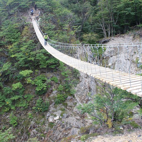
3. Dientes de Navarino
Overall Ratings
5.0 based on 64 reviews
Reviewed By evwtrip - Nijmegen, The Netherlands
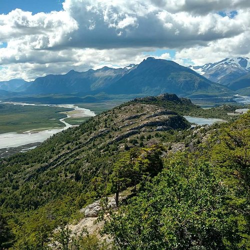
This is one of the more rougher treks I've done. Both in terms of adressing my routefinding skills many times (while there is a collection of signposting as well as the much more frequent markerstones, I did manage to wander off track quite a few times) as in the actual difficulty of the terrain (boulder hopping, steep descents, muddy marshes, negotiating tree roots & branches) your progress will be slow each of the 3 or more days you're trekking the 32km/20mi long Dientes. I solo-hiked it in 4. But they say: the rougher the trek, the more beautiful it gets. That counts here also. It's a little more wilderness than the one in Torres del Paine. While you're on the most southerly inhabited island of the world in Puerto Williams, a Chilean Armada town slowly growing into a tourist destination, enjoy the view of Cerro Bandera while you start your climb. On top there's a beautiful view of the Beagle Channel and Argentina's Tierra del Fuego mountains across. Continue along the edges of the ridge to a steep drop to Laguna del Salto, one of the many tundra lakes in the area. I stayed here for the night on a terribly wet and uneven floor, but with fresh water. My second day started with a climb up to Paso Australia and over loose boulders up Paso los Dientes (I wandered off track here which did cost me half an hour) to eventually descent to Laguna los Dientes and Laguna Escondida again with plenty big boulders to hop. Campsites and water were no problem finding here and were in better condition. There's a beautiful view of the jagged peaks of the actual Dientes ('teeth' in spanish), for which the area is named. On a clear day the more southerly Lago Windhond is visible as are the Cabo de Hornos islands. My third day ended up being the easiest one. Only two easier uphill sections and drops to arrive at the beaver affected area of big Laguna Martillo, where I took a wrong direction again costing me about 45 minutes. After the big lake there's a beautiful valley to cross where I saw signs of a big animal nearby, possibly a puma. I eventually camped at the foot of the biggest climb of the whole trek, Paso Virginia. The fourth day started with a muddy ascent of the lower section of the climb and ended at a fantastic overview of a very steep and possibly dangerous descent to Laguna Guanacos. Take care here in bad weather. After this lake there is a long mixed section of marshes, woods and farmland to get you down to the end of the trail at an old fishery at the road which will lead you to Puerto Williams again in 2 hours. I only saw people on the first night and was thus almost the whole time alone on the trail. Weather can be a problem here because of the southerly location of the Island, but most of the time I was hiking in clear sunny skies in late March 2017. Recommended.
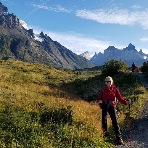
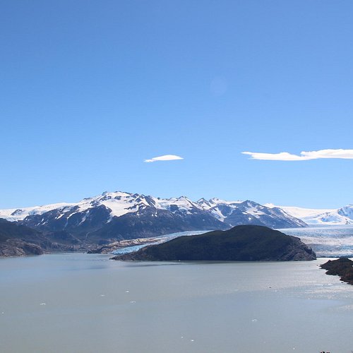
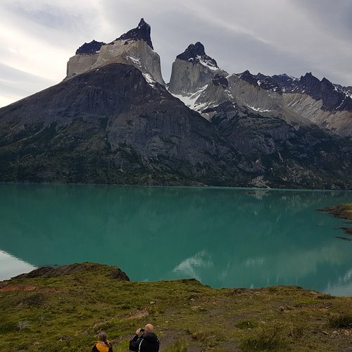
4. W-Trail
Overall Ratings
5.0 based on 386 reviews
Reviewed By sandtrap629 - Birmingham, United States
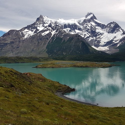
My wife and I hiked the W trail for our 40th anniversary at age 63 & 64. We brought along our two children and their spouses telling them they would be our packmules, but in reality we all had a minimal backpacks as we stayed at refugios - less than 20 pounds. We did not use a guide as they are much more expensive and not needed as the trails are well marked. However, you have to be willing to put in some effort to figure out the logistics of lodging and transportation as that can be fairly complicated. The refugios are owned by different companies and have limited availability so you have to get things reserved well in advance - at least 9 months for peak season IMO. The Puerto Natales airport only has flights a few days a week so when to arrive and leave is more challenging unless you want to take a 3 hour bus ride from Puntas Arenas. Then you have to figure out how to get to the park and in which direction you will hike. What fit our schedule best was arranging for private transportation to take our party of 6 from Puerto Natales to the Lagos Grey Hotel to catch the boat across Lagos Grey and hike to the Paine Grande refugio. From there we hiked to Cuernos refugio seeing the French Valley on the way (hardest day we hiked). Day 3 was a hike to refugio Chileno. The final day was a hike up to Mirador Torres then down to Hotel Torres to catch a bus back to town. You will also find the wether forecasts confusing. You can go to two different web sites for Torres del Paine weather and one will say it will be a high in the 60s and another say the 30s for the same day high. We packed for extremes. For the most part it was nice and in the 50s and 60s for us (late February), but when we hiked up to Mirador Torres the temperature dropped into the 30s with 30 MPH winds gusting to 50 MPH. I would recommend wearing light fast drying long pants rather than shorts as it was never that hot and there are lots of prickly plants you will be encountering. If you enjoy hiking with mountain scenery this is a trip you have to take.
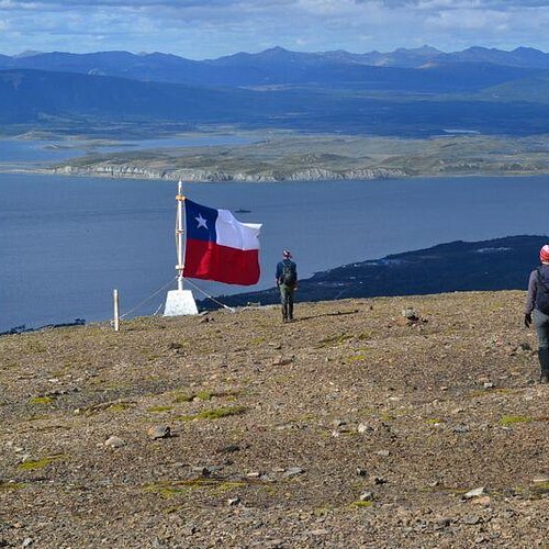
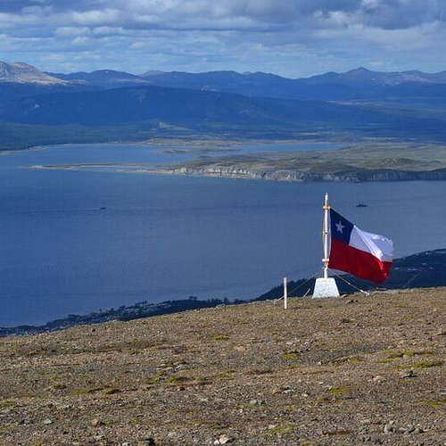
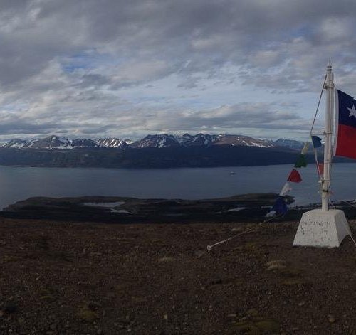
5. Cerro Bandera
Overall Ratings
5.0 based on 49 reviews
Reviewed By yulianaF56
See the forest of this remote area of the world and everything, eat raspberries and just enjoy the view, for some people that wants to go to the Navarino teeth’s have to come across this area
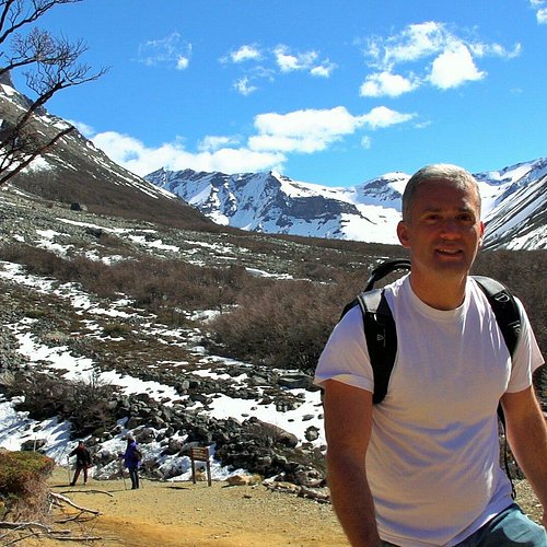
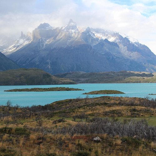
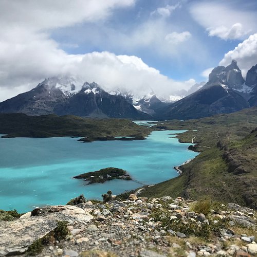
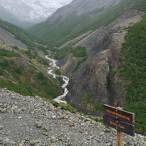
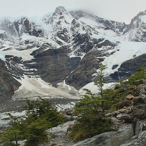
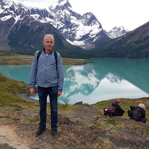
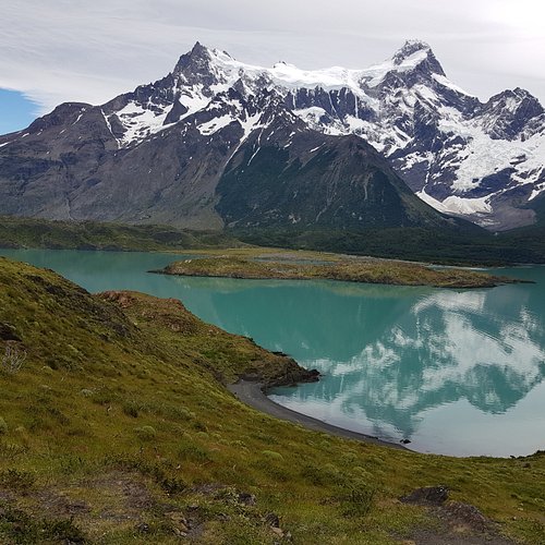
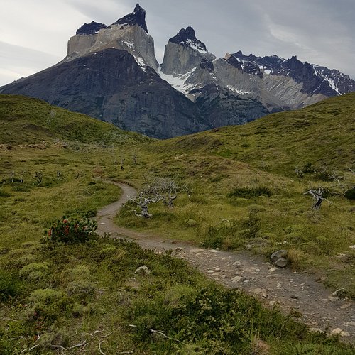
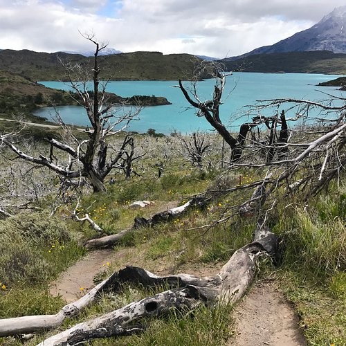
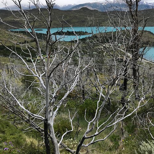
6. Circuito grande Torres del Paine
Overall Ratings
5.0 based on 148 reviews
Reviewed By stephensJ5747LY - Antofagasta, Chile
Decided to take on this epic nine day hike not knowing what to expect both physically and visually. A great decision to say the least. Physically it was extremely demanding but the rewards presented visually more than made up for it, melting away all phytigue. Camp sites offered spectacular views as well as access to side trips such as glacier hiking and kayaking. Camping facilities were more than adequate equiped with stores, cafes and even the Chileon camp had a full restaurant. Staff was knowledgeable and bilingual. A couple of the camps also had lodging (bunkbed) options. Each section of the hike was challenging in different ways but never did I feel in any danger. Park Rangers patrol sections offering a feeling of assurance. A must do for all hiking enthusiest.
7. Piedra del Aguila

8. Cerro Altavista

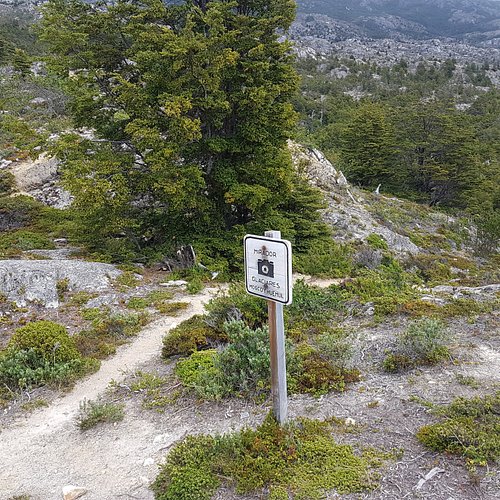
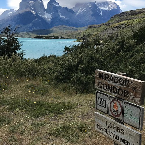
9. Mirador Condor Trail
Overall Ratings
5.0 based on 16 reviews
Reviewed By Gdax - Gulf Breeze, United States
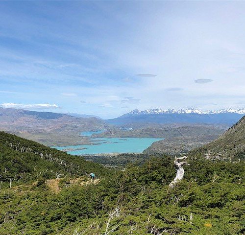
Nice little parking spot off the highway. The trail starts right at the parking lot. Basically a straight ascent to the top. Takes 30-90 minutes depending on your pace. The top is a flattened plateau that overlooks Lago Pegoe and the Torres. Great 360 vantage point of the southeast section of the park.
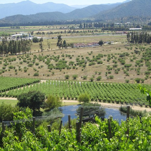
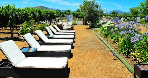
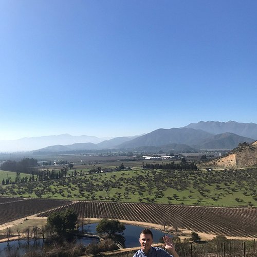
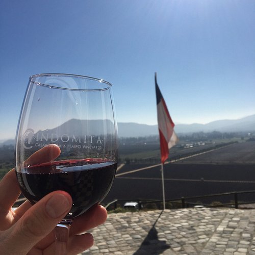
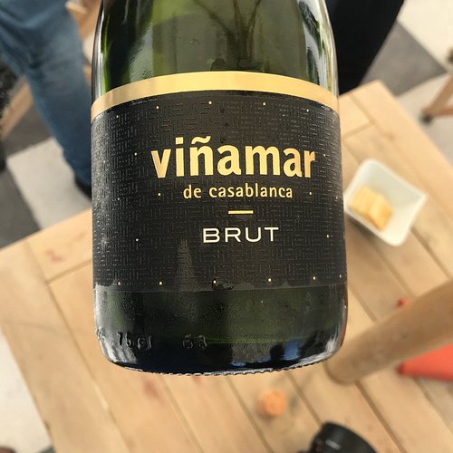
10. Casablanca Valley Wine Route
Overall Ratings
4.5 based on 54 reviews
Reviewed By doubledeckabecca - Hamilton, New Zealand
My partner and I got a bus (CLP280) from the centre of Valpo to the bus station. From there we caught a bus to the centre plaza in Casablanca, operated by Tur bus, for CLP1000. The bus we got left at 12:55pm. We then got a taxi to Emiliana Vineyard for CLP6000. The taxis charge CLP400 per rural km, so for a ballpark figure of how much your taxi would cost check the kms between the centre plaza and the winery you wish to visit. There is a taxi stand at the plaza, so it's easy to find a ride! We arrived at Emiliana Vineyard at 2:20pm, and without a reservation managed to get on the 2:30pm tour. This lasted around an hour and 10 minutes and cost CLP16000, with tastings of four wines at the end (2 whites and 2 reds, all yum!). The tour price seemed a bit steep to us but hey, YOLO. After we finished the tour we bought a bottle of the wine we liked (CLP6990, though cheaper are available) and went to eat our packed lunch under the trees. Emiliana has beautiful grounds, so even if you don't want to do a tour I'd recommend buying a bottle of wine and enjoying the sunshine here! Once the place had closed and we were the last ones left, we asked the lovely people at the winery (who speak fantastic English) to call us a taxi, and this taxi back cost CLP5000. We then waited at the centre plaza for around 5 minutes for a bus going to Valpo, which cost us CLP1000 each. All in all a really nice outing for less than the price of an organised tour! Easy peasy!
TAGS