


Top Things to do in Southern Norway
Top Hotels in Southern Norway
9 Mountains in Southern Norway That You Shouldn't Miss
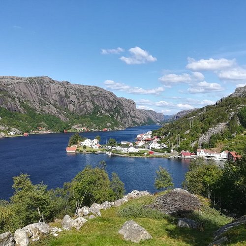
Called Sørlandet, Norway's South Coast is known for its rocky coastline, its whitewashed houses and its idyllic archipelago. This warmest area in the country draws many resdents for a summer holiday. Kristiansand, the biggest city here and fifth-largest in all of Norway, has many lovely beaches, a very good zoo (Norway's most visited attraction) and a number of historic buildings. These date from the period of the city's 17th-century founding and are located in Posebyen, the old town area.
Restaurants in Southern Norway
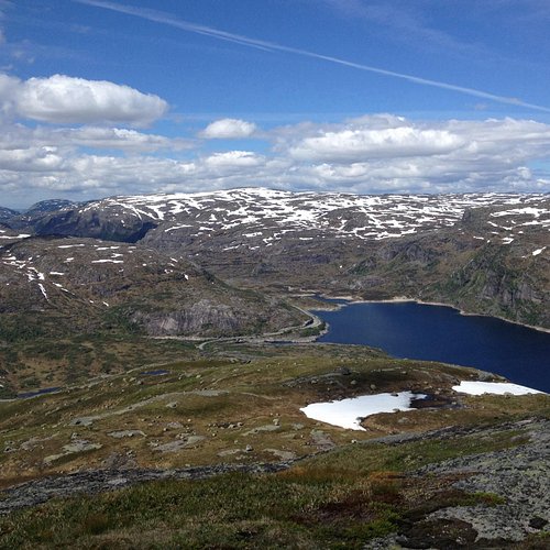
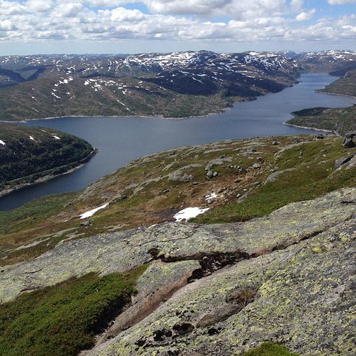
1. Roseknuten
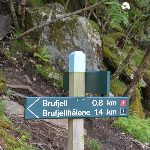
2. Brufjell
Overall Ratings
4.5 based on 22 reviews
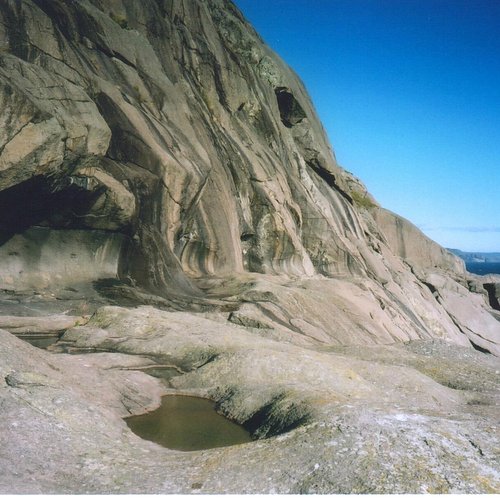
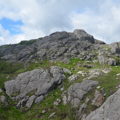
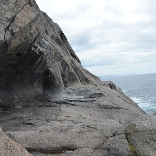
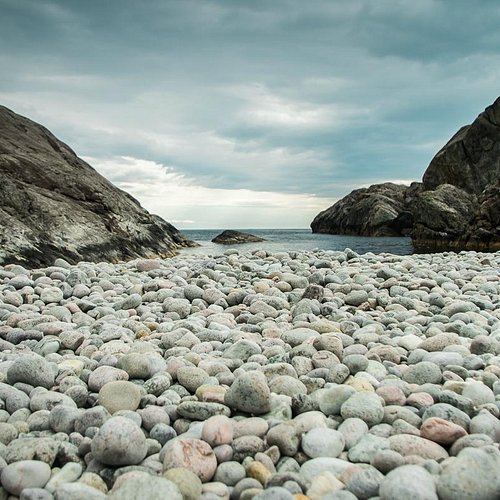
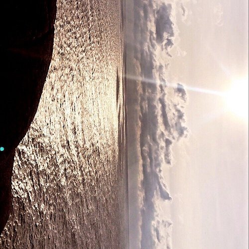
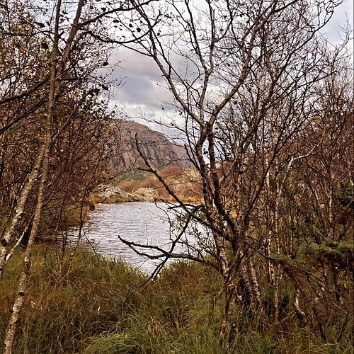
Brufjell mountain's highest point is 184 meters above sea level and offers a fantastic view over the Lista landscape. On a clear day you will see the lighthouse at Lista, an area know for its abundance of rare birds. From the top of Brufjell, there is a marked trail that leads to the potholes that lies horizontally at 20 m above sea level. The horizontal potholes were created during the Ice Age some 20.000 years ago. The sea level was higher back then. Did you know that millions of years ago the mountains here in the Southwest were taller than the Mt. Everest is today? Brufjell is part of Magma Geopark and UNESCO. The trip to the potholes takes about 20 min from Mt. Brufjell. There is some climbing involved in the descend, but handles have been put up to facilitate the climbing. However, dogs will not be able to accompany the owner. Keep in mind that the mountain may be slippery when wet. The round trip, that may be combined with the stony beach at Sandviga, takes 2-3 hours. Description: Drive road 44 (the North Sea road) to ana- Sira. Driving down the mountain from Flekkefjord, notice the sign Roligheten on the left side. Drive down this small road towards the small community. On the left hand side you will notice a sign with Brufjell on the stone wall of a torn-down barn. This is where the trail starts. Please park the car by the school you passed driving in some hundred meters back (a new parking lot is under planning). There is a relatively steep ascend in the beginning. Follow the marked trail. At the top of Brufjell you will see a mail box. Please write your name and nationality for statistical purposes. From here you walk in the direction of the sea, following the read markings down the mountain. It gets quite steep and people who are afraid of hights might find it a bit scary. Some safe handles have been put up to facilitate the short climbing. Return from top of Brufjell: It is possible to make this hike a round trip by walking west from the mailbox at Brufjell. Follow the trail through the gras over to the next mountain. Descend to Sandviga which is a stony beach. From here continue on the trail back to the houses at Roligheten Follow the road to the car. For a more detailed description, and a map, please see the tourist information in Flekkefjord.
3. Lindeknuten Mountain
Overall Ratings
4.5 based on 2 reviews
4. Jegersberg HIking Trail
Overall Ratings
4.5 based on 15 reviews
5. Havsynsknuten
Overall Ratings
2.0 based on 2 reviews

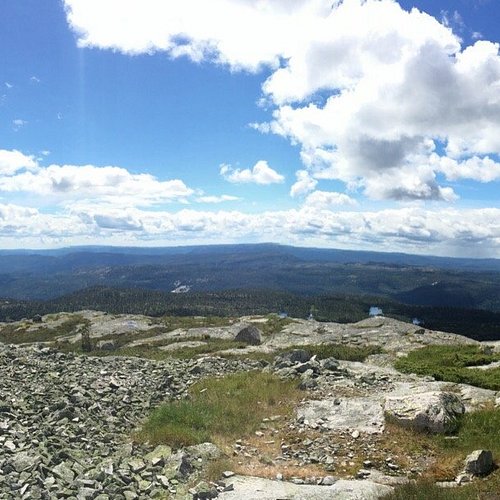
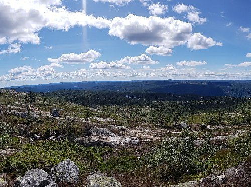
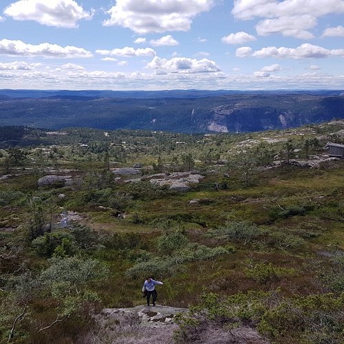
Starting Point: park your car at Lindeland Camping and travel north along the highway for approximately 350m until you reach a forest road on the left side of the road. Route Description: the first part of the trail leads up the steep forest road that winds its way up the mountain on Lindeland. You will pass a waterfall on the left hand, allow 20 minutes on the climb or approximately 200 meters to the end of forest road to see this. 400 meters along the forest road you will come to a track road, follow this road until you come to crossroads sign. Turn left and follow the marked trail at Midstol, up hill, (southerly direction). After approx 10 minutes take the path to the west, then southwest, so that you walk parallel to the ravine on the left handside. You will have to travel through overgrown and rocky terrain. On both sides of you, you will clearly see theremains of stone walls. After approx 20 minutes walk, the path forks, you should continue on the marked path towards Midstol opposite a small hill (45 meters). After about 5 minutes you will see an old stone wall, leave the path toward Midstol and go in a north westernly direction, Travel towards the steep slopes, 150 m further ahead down the valley to avoid a bow to the right. You will see Havsyn on the left hand side, travel uphill in a north westerly direction between the rocks, heather and small bushes. You will see Midstol tarns on the left hand side, You must allow about 40 minutes for the 200m climb to the summit. From the top you have 360 degree views of the mountain moors and coast! For a detailed description including maps and information etc buy the guidebook 'Hiking in Sirdal' which includes Kjerag and Sirdals Seven Summits. Maps and GPS coordinates Accommodation: Tonstadli Ferie, Kurs og Misjonssenter
6. Trongedalsnuten
Overall Ratings
5.0 based on 1 reviews
7. Storenos
Overall Ratings
4.0 based on 1 reviews