


Top Things to do in Arizona
What to do and see in Arizona, United States: The Best Hiking Trails
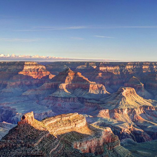
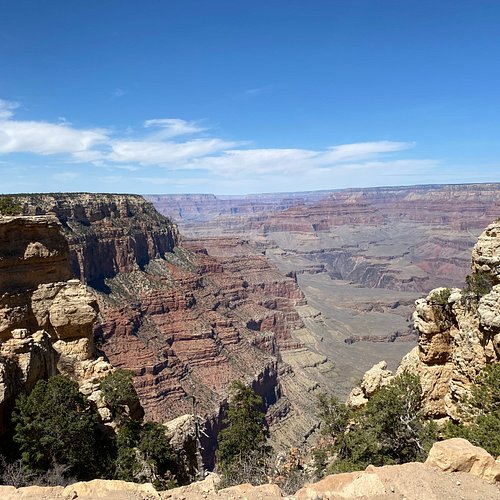
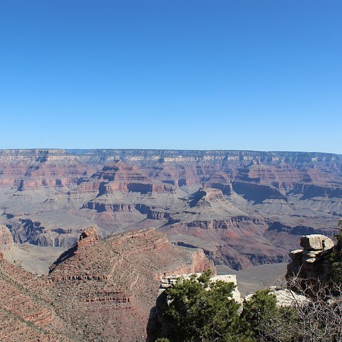
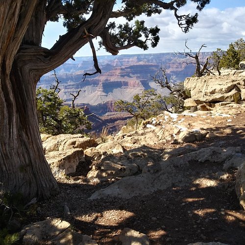
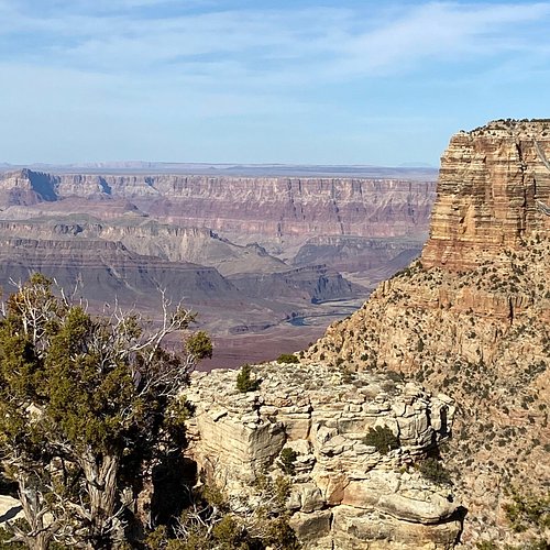
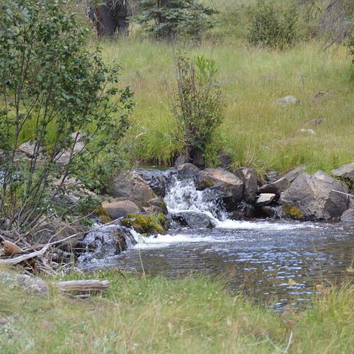
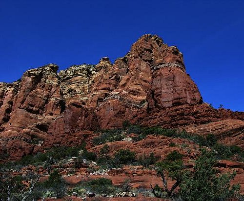
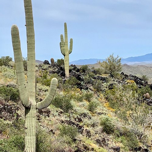
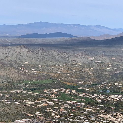
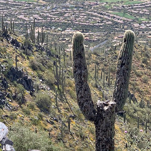
The state of Arizona is one that features a fantastic diversity of landscapes and areas of geological interest. North Arizona is famous for the Grand Canyon, a colorful chasm with steep rocky walls more than a mile deep and stretching some 277 miles alongside the Colorado River. Other notable destinations in North Arizona include Flagstaff set alongside the San Francisco Peaks which has the largest ponderosa pine forest, Museum of Northern Arizona, and is close to a number of national parks and monuments. On the south side of Arizona lies the city of Phoenix, the largest in Arizona. Notable day trips in Phoenix include the Heard Museum which is one of America's largest collections of Native American art, Phoenix Museum of History, as well as the Desert Botanical garden which has a great collection of desert plants.
Restaurants in Arizona
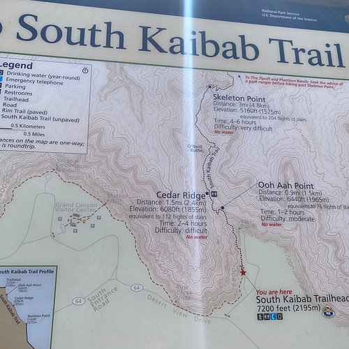
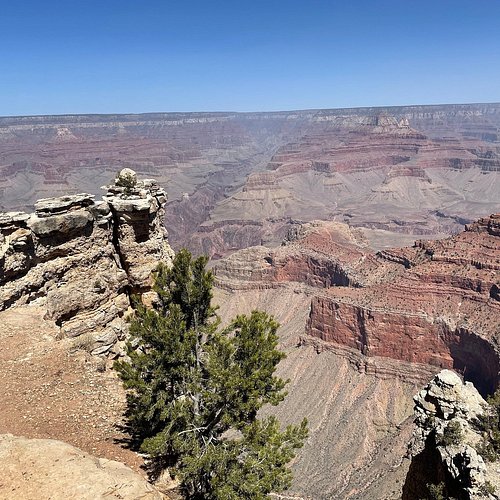
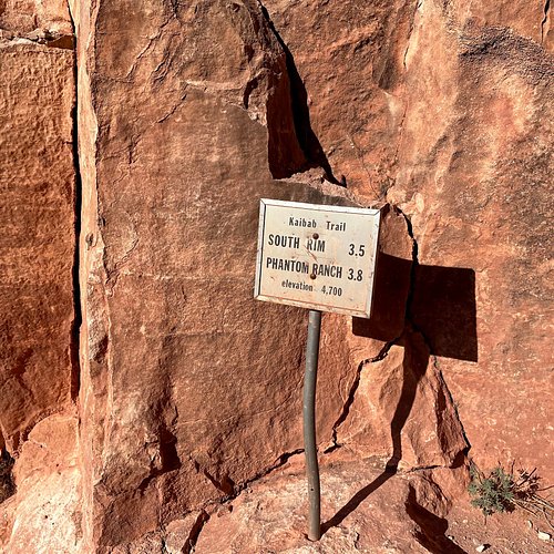
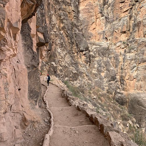
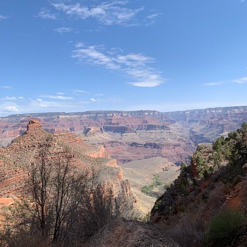
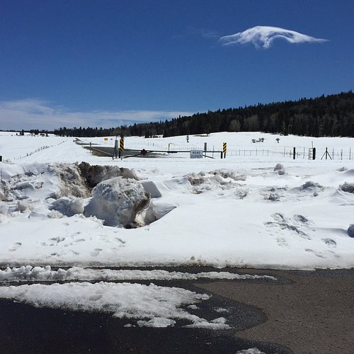
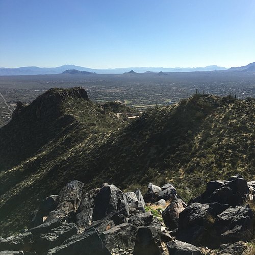
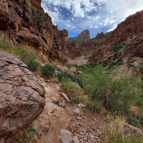
1. South Kaibab Trail
Overall Ratings
5.0 based on 1,687 reviews

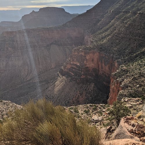
One of the two superhighways into the Canyon, the other being the Bright Angel Trail, this path runs along a ridge offering stunning views. During the summer, visitors are advised to bring at least two quarts of water along because it can get very hot and the trail offers no shade.
Reviewed By Traveling007Texan
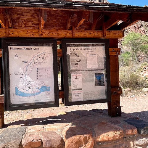
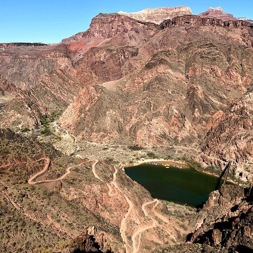
My son and I hiked down the South Kaibab Trail and spent the evening at Phantom Ranch before hiking up the Bright Angel Trail the next morning. Hiking the the S. Kaibab was relatively easy as it is downhill the entire way. THERE IS NO WATER so you must carry enough with you. We took 3 liters each and that was plenty. We made it in 4.5 hours taking our time at a steady pace without breaks. It is a beautiful trail with breathtaking views around every turn. I would recommend hiking down the South Kaibab and back up the Bright Angel, as it has water along the middle and upper trail. It's very hot in July but downhill all the way!
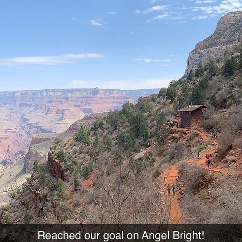
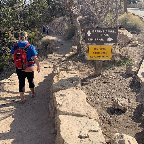
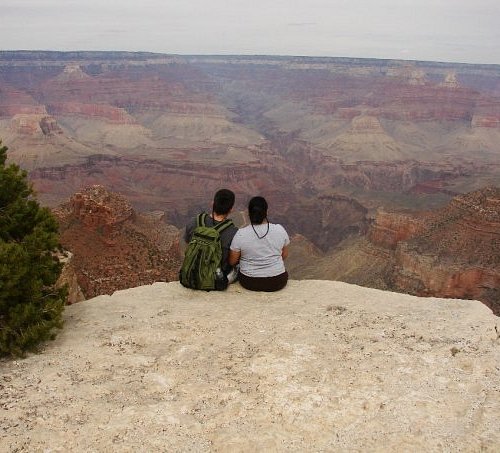
2. Bright Angel Trail
Overall Ratings
5.0 based on 2,318 reviews
One of the two superhighways of the Grand Canyon, this well maintained and popular trail offers breathtaking vistas, some shaded areas.
Reviewed By 60Kelly - Sydney, Australia
We started the walk down at 5am knowing we'd be returning in the heat of the day. After 2.5hours we reached Indian Gardens, a luscious oasis on the canyon floor. We replenished our water bottles, ate snack and at 9am started off to the rest house about 4 miles back up the trail. The sun rose high in the sky,l shade became less and our pace slowed on the very steep climb up. we found any shade we could to take refuge and rehydrate although this slowed our return.. At the 3 mile rest house we found a little shade, slight breeze, and fresh water for our bottles, had another snack and wet our bandanas and hats and set off for the next resthouse 1.5 miles further up the trail. We found ourselves, along with many others, stopping every few hundred feet under any amount of shade. We drank more water and pushed on to the final resthouse 1.5miles from the rim to drink more water and cool down. By the time we reached the rim 10 hours after starting out we could barely put one foot after the other. So to anyone wanting to go down to the canyon floor I'd say do it, start as early in the day as possible if you go in summer, prepare well, take notice of all the warning signs about the hike, take plenty of water and snacks then enjoy the vistas on the way down, the welcoming Indian Gardens at the bottom and appreciate the friendships you will make on the way back up as you encourage each other to get back to the rim safely. It is definitely worth every step.
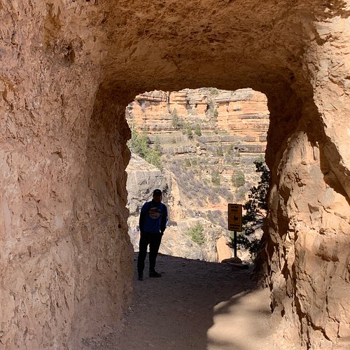
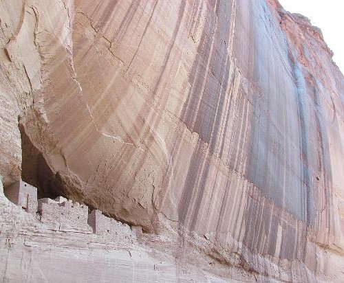
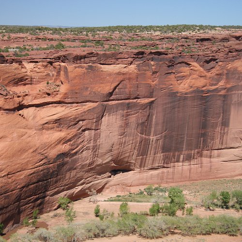
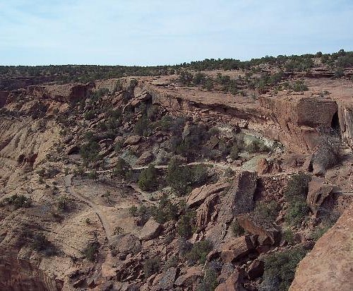
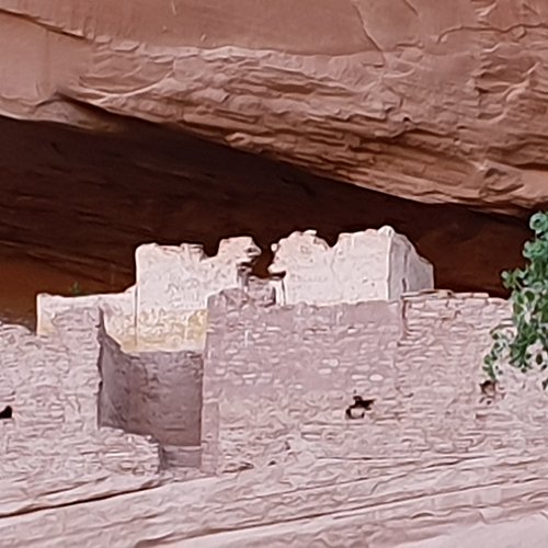
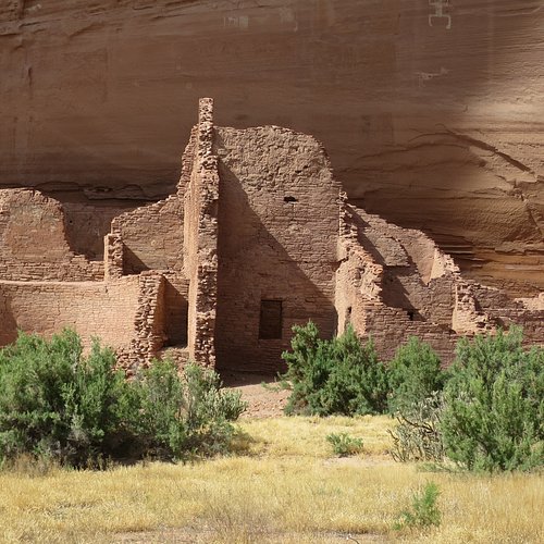
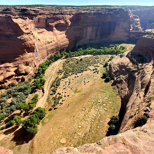
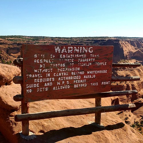
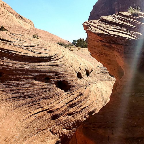
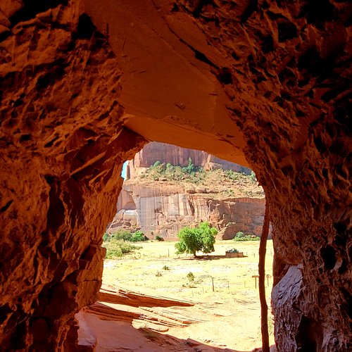
3. White House Ruins Trail
Overall Ratings
5.0 based on 340 reviews
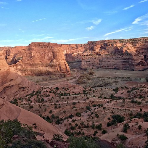
A self-guided 2.5-mile hiking trail in Canyon de Chelly.
Reviewed By ktraveler2 - Carefree, United States
My cousin and I headed out to the White House trail. We are 2 senior ladies who walk a lot but don’t really hike. Standing at the top I was nervous if we could do it but off we went!! You definitely want to bring water. There are nice benches along the way and we played a game that at every bench we took a sip of water. You go through two rock tunnels!! Much of the trail is on sand stone so it’s not slippery and gives you a sure footed feel. It’s not hard at all. My cousin even thought coming up was easier. It took us about an hour and a half round trip. This was my third trip to the beautiful Canyon de Chelly and won’t be my last. But every future visit will include this beautiful trail.
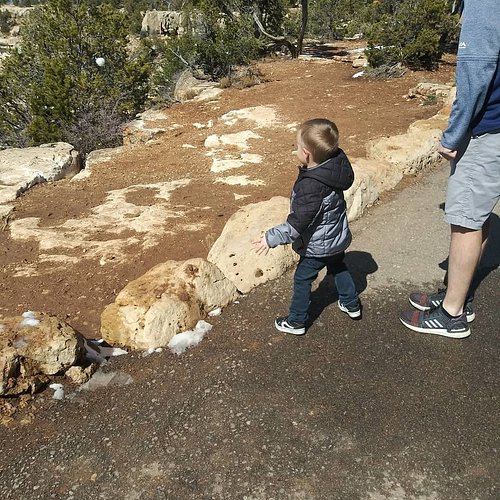
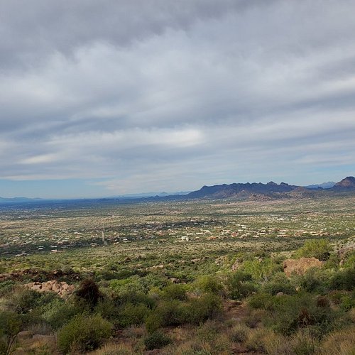
4. Rim Trail
Overall Ratings
5.0 based on 1,503 reviews
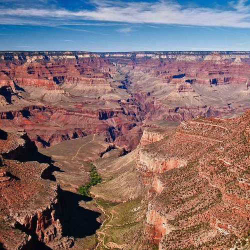
Scenic and level walking trail, which is easy enough to bring the kids.
Reviewed By royv647 - Traralgon, Australia
This is truly a great walk to do , there are so many beautifull viewspots for taking photos, We spent a couple of nights in the Village and walked the trail a lot , it is easy going , a lot of it is paved .. We walked some and also used the shuttle buses that are going along the route all the time. There is a lot of information to read along the way, helps you understand the history of the place and learn about the people who made it all happen Their are toilet facilities at some of the main view spots which are very handy. This is a must thing to do , you will take home visions of a lifetime , do it
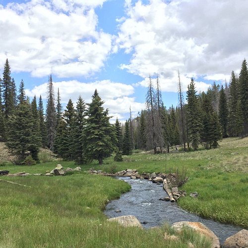
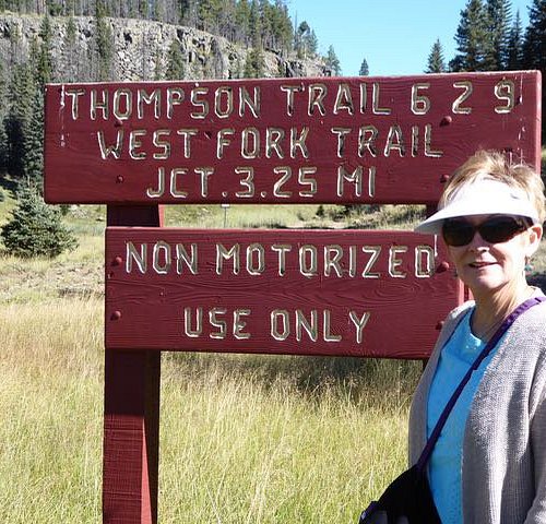
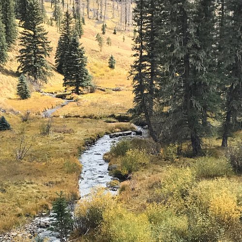
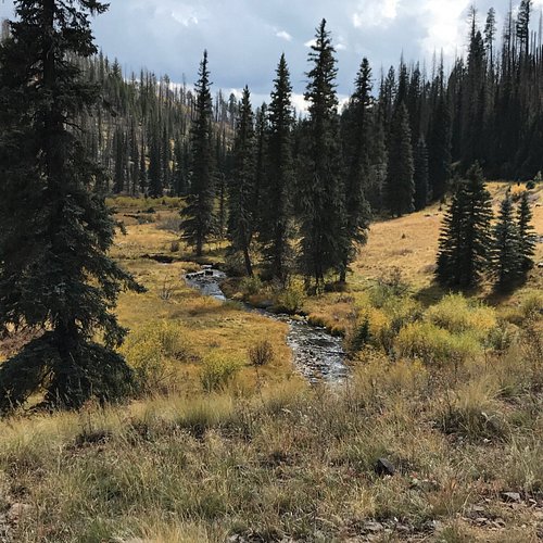
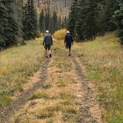
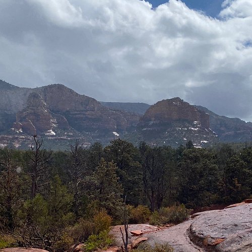
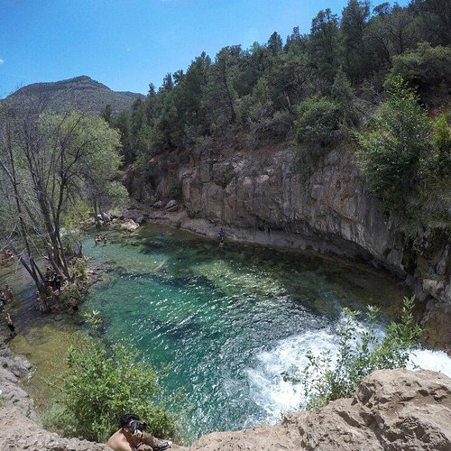
5. Thompson Trail (Forest Service Trail 629)
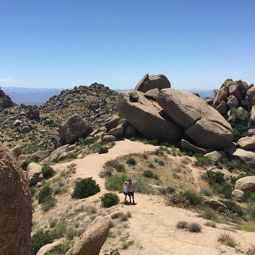
6. Tom's Thumb Trailhead
Overall Ratings
5.0 based on 393 reviews
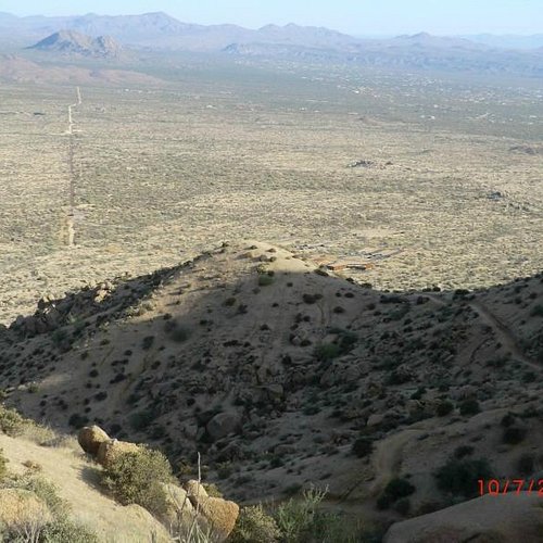
Reviewed By ca847
Beautiful scenery. Fun walk in the heat. Trails are marked very well. Be sure to bring plenty of water and proper shoes.
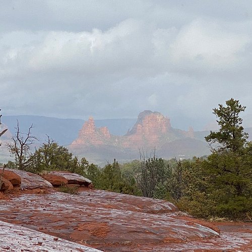
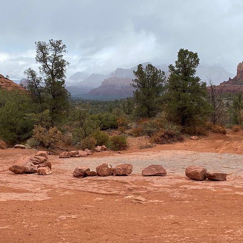
7. Broken Arrow Trail
Overall Ratings
5.0 based on 1,400 reviews
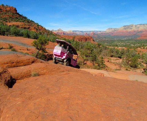
Reviewed By geridicola - Chicago, United States
We took the Broken Arrow trail to the High on the Hog, Hog Heaven to Hog Wash back to Broken Arrow it was about a four mile Hike that was absolutely amazing. bring water and a snack so you can stop and soak it all in.
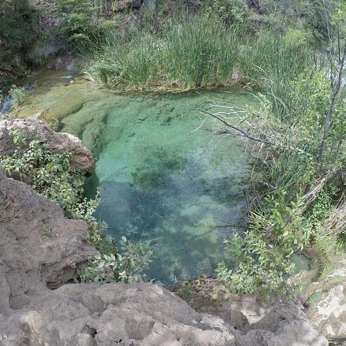
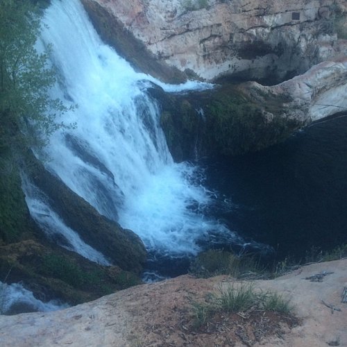
8. Fossil Springs Trail Head
9. Black Mountain Trail
Overall Ratings
5.0 based on 20 reviews
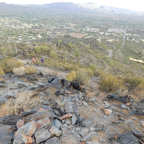
Reviewed By 468evat - San Diego, United States
This short trail is in the very center of town. While the 2.2 mile round trip hike is nearly all vertical on the way up, it is lovely. The trail is well marked and wide enough. At the top there is monument to war veterans. It is lovely on top and the views every step of the way up are divine!
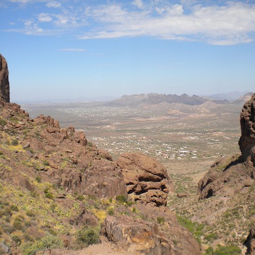
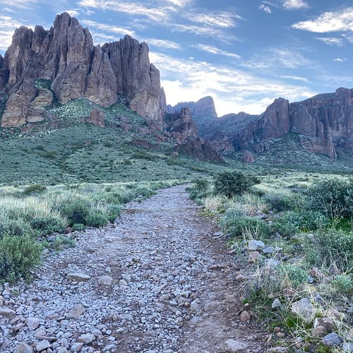
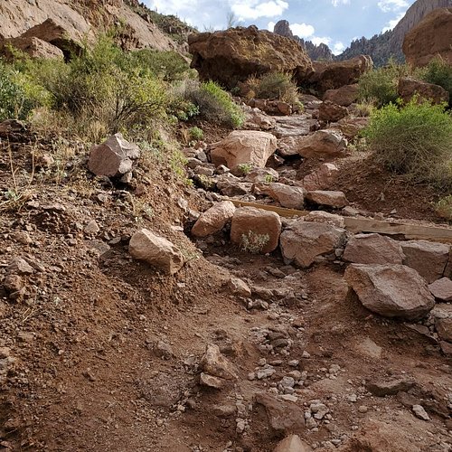
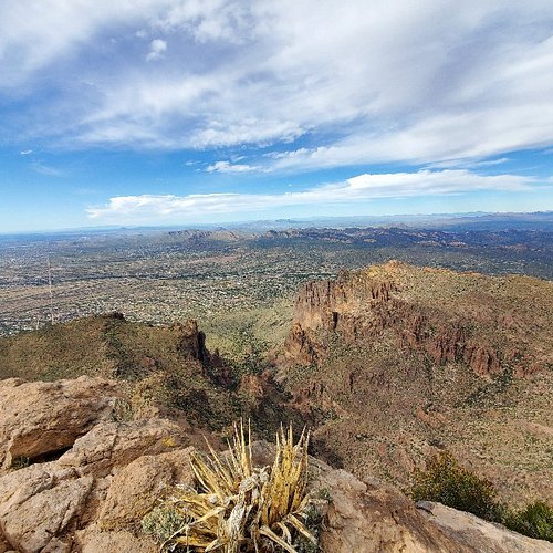
10. Siphon Draw Trail
Overall Ratings
5.0 based on 26 reviews

Reviewed By JWoo28 - Mission Viejo, United States
Ok. 62 years old. Hiked Peralta last week and thought wow, nice hike had some elevation so let's try FLAT IRON. Wholly smokes. First 1/3 ok. Moving and got a little sweat on. Second 1/3 steeper, ok got this. Last 1/3, I realized I'm not 20, 30, 40 or even 50. This will challenge you. 40 to 80 percent incline. Incredible views. Glad I did it but wont again. Oh. Now go down. Unsettling at times.