


City: Tavastia Proper
Top Things to do in Tavastia Proper
Top Restaurants in Tavastia Proper
Top 8 Hiking Trails in Tavastia Proper, Finland
Tavastia Proper (Finnish: Kanta-Häme; Swedish: Egentliga Tavastland) is a region (maakunta / landskap) of Finland. It borders to the regions Southwest Finland, Pirkanmaa, Päijänne Tavastia, and Uusimaa.
Restaurants in Tavastia Proper
1. Kelvenne Trail
Overall Ratings
5.0 based on 5 reviews
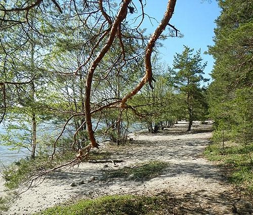
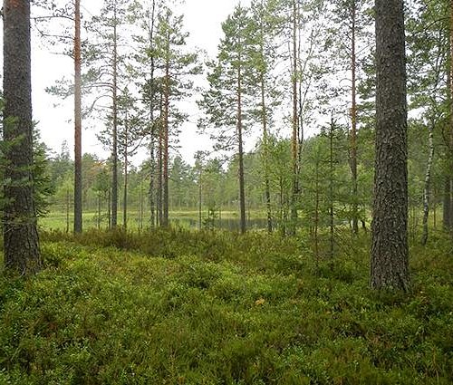
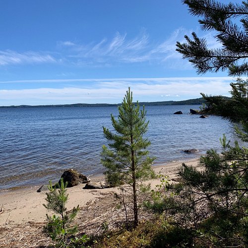
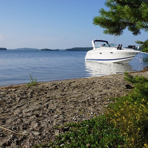
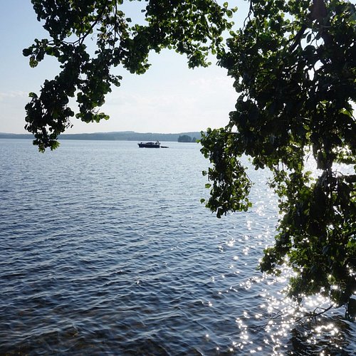
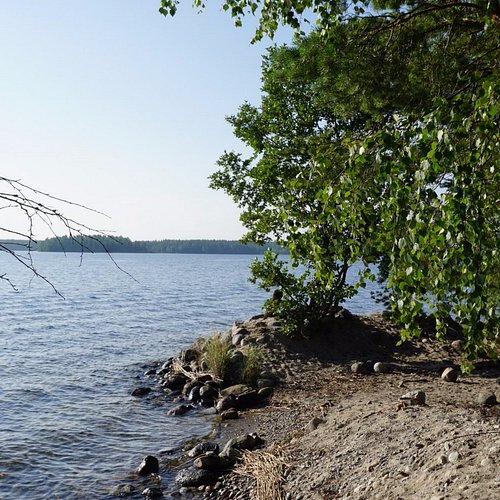
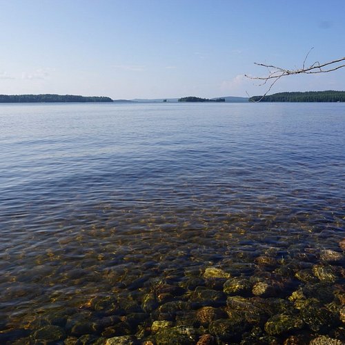
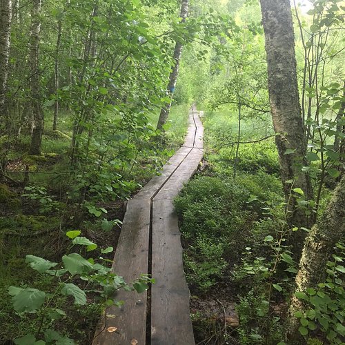
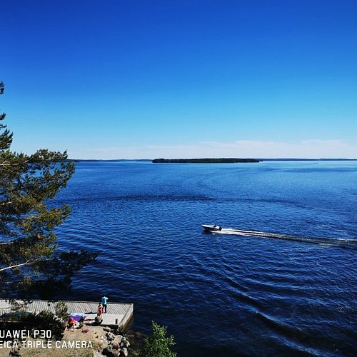
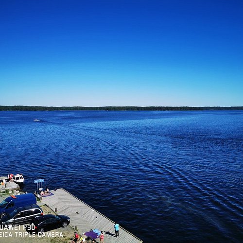
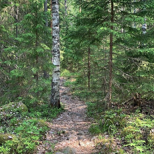
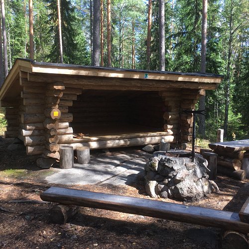
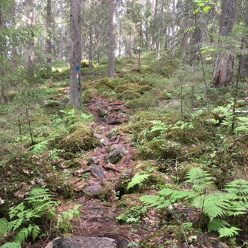
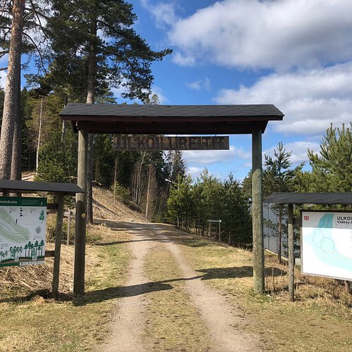
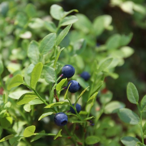
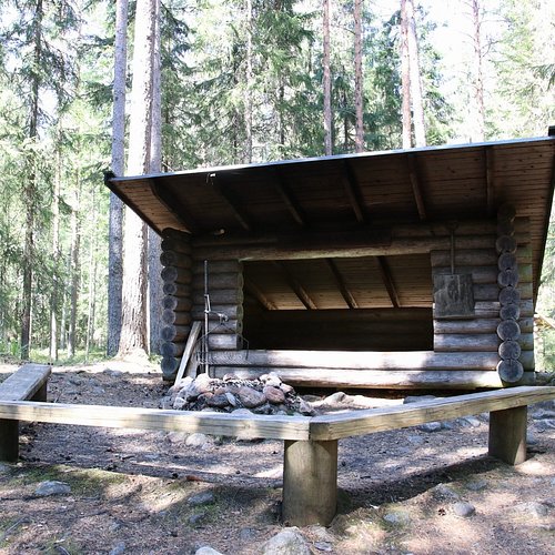
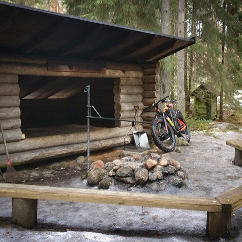
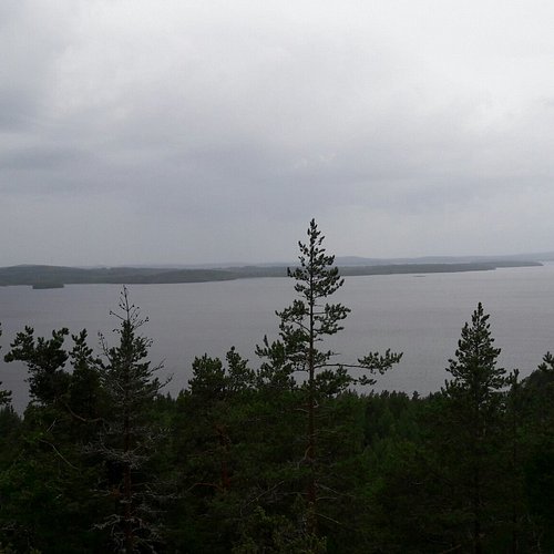
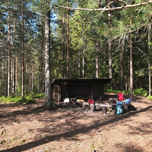
The Kelvenne trail is situated in Päijänne National Park and is especially suitable for a day trip. The trail can be walked either from the south of the island (Kirkkosalmi) to the north (Likolahti) or vice versa. M/S Elbatar sails to Kelvenne Island from Padasjoki four times a week in July and once a week from Asikkala. Kelvenne Island can also be reached by water taxi from Padasjoki or by charter cruise (Asikkala, Padasjoki or Sysmä) during summer. The trail is suitable for hiking and Nordic walking and it is accessible from May to September. The path starts at Kirkkosalmi and it is marked with blue painted marks. Trail passes through beautiful esker and lake scenery. There are a number of sheltered bays which are beautiful places to rest, and there are also several campfire sites. Beside the esker landscape, the effects of the Ice Age can also be found in the form of kettle holes: one of the kettle holes has formed a small lake in the middle of Kelvenne Island!
2. Pulkkilanharju Nature Trail
Overall Ratings
4.5 based on 8 reviews
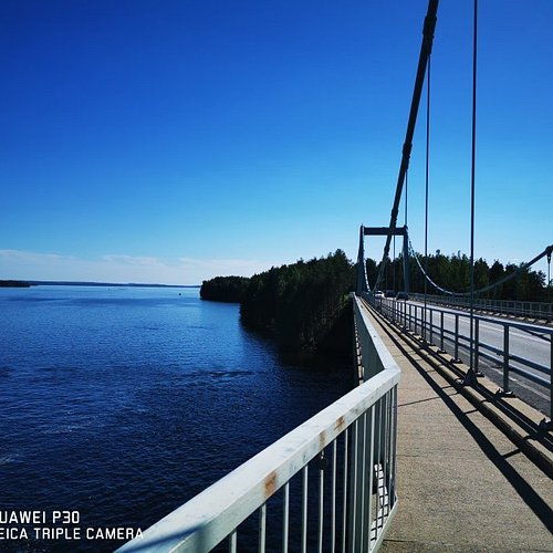
The Pulkkilanharju trail is situated in Päijänne National Park and is suitable for a day trip. The Pulkkilanharju trail can be reached either by car or bus via road 314 from the villages of Vääksy and Sysmä.The trail is suitable both for hiking and Nordic walking and it can be walked from May to September. The path starts below Karisalmi Bridge and it is marked with blue painted marks.The trail passes through beautiful esker and lake scenery and you can walk either the 2.3 km-long nature trail, or the whole marked trail, the length of which is a little more than 4 km in total.
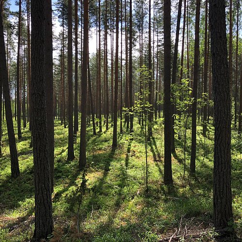
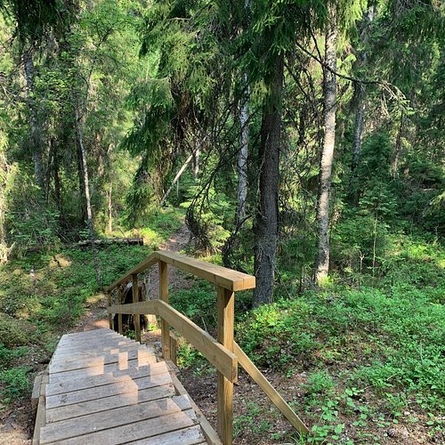
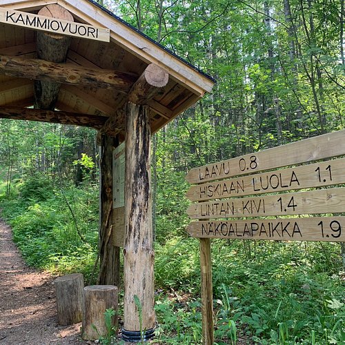
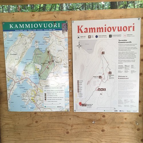
3. Kammiovuori Trail
Overall Ratings
4.5 based on 7 reviews
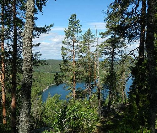
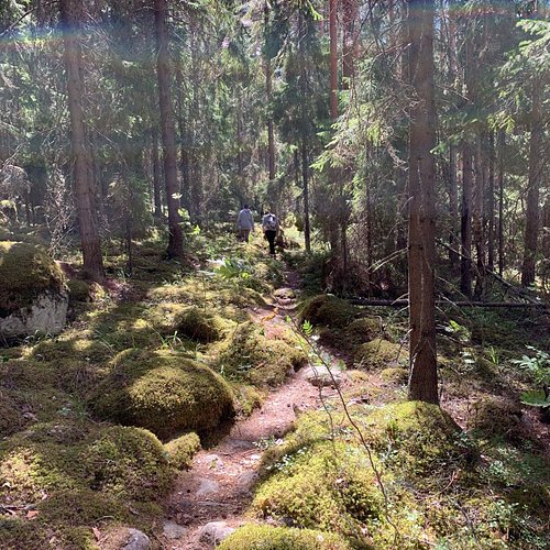
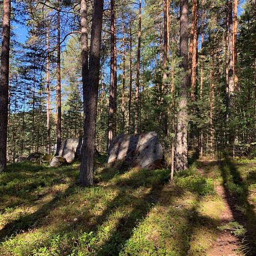
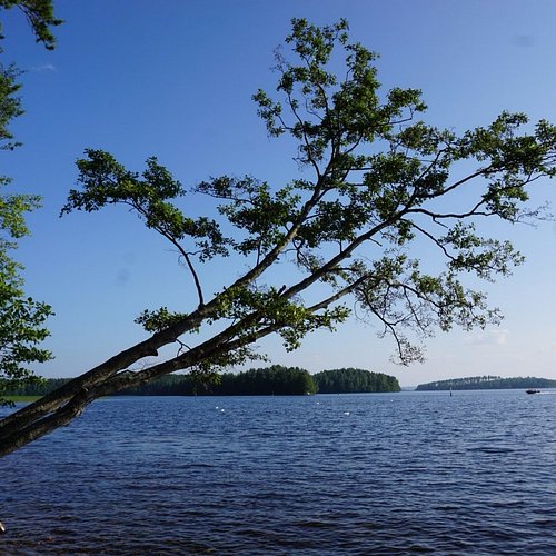
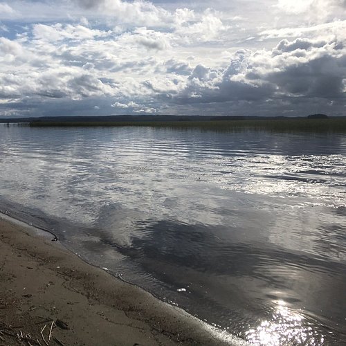
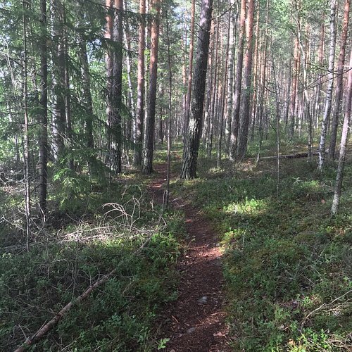
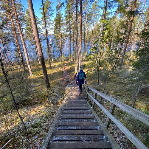
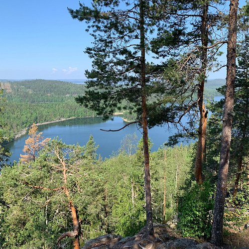
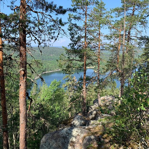
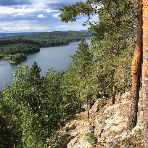
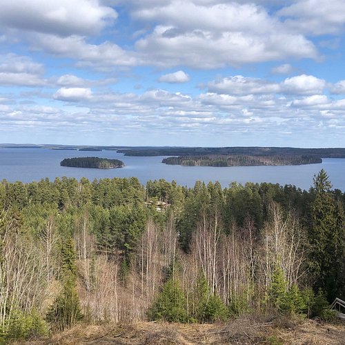
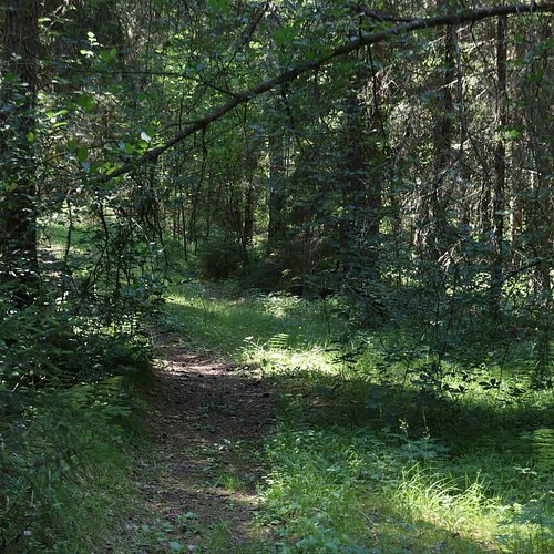
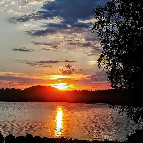
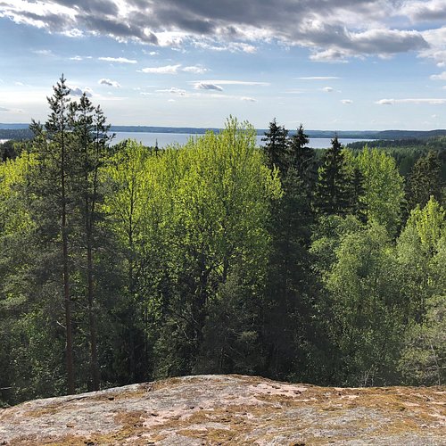
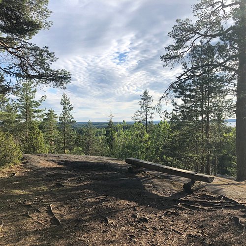
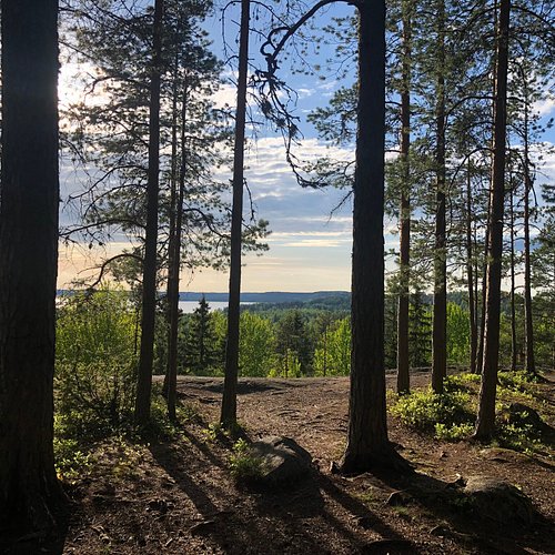
The Kammiovuori trail is situated in Sysmä and is especially suitable for day trip. The trail can be reached by car from villages of Vääksy (75 km) or Sysmä (27 km). The trail starts and ends at the car park at Kammiovuori and is suitable for hiking and Nordic walking although the start of trail is challenging because of the climb and partly rocky path. The trail is marked with blue and white marks painted on trees. The trail passes through varying landscape, which was shaped by the Ice Age. The hiker is mostly surrounded by mixed forest, but at the top of the mountain you will find traditional Finnish pine forest. Hiskias’s cave can be found at the beginning of the trail, where a vagabond by the name of Hiskias used to live at the beginning of 20th century, according to legend. After the cave there is another 1 km climb until you reach the target – the summit of Kammiovuori Mountain. The view from the top is breathtaking. To the south and the west, the glittering blue waters of Lake Päijänne dominate the landscape. On the route back the trail passes by a massive boulder, known locally as “Linta”.
Reviewed By Matkalaine
A fairly short hike though a Finnish forest with a very nice scerery. Worth a day trip if you are nearby.
4. Aurinko Ilves Trail
Overall Ratings
4.0 based on 1 reviews
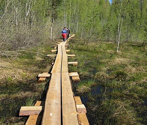
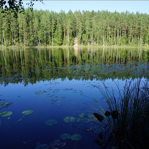
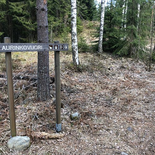
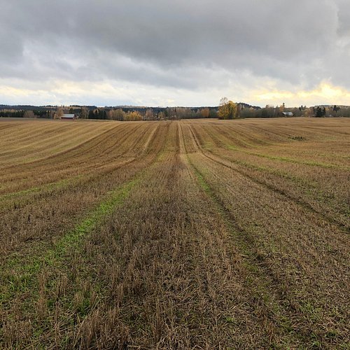
The 30 km long Aurinko – Ilves trail is a connecting trail to the Evo hiking area. The path starts from Päijännetalo House in Asikkala- / -Vääksy, but you can also access the path at Asikkala Sports Centre. The path ends at the car park at Haarajärvi in the Evo hiking area. The trail is suitable for hiking and in parts for Nordic walking. It is marked with special signs and yellow and -/- or orange painted marks and ribbons. The trail goes through a variety of forest and cultural landscapes in which traces of the Ice Age can be seen. Attractions along the trail include deep kettle holes (syrjänsupat) in the northern part of Aurinkovuori, which were formed during the Ice Age. Kuurnamäki offers beautiful views over the surrounding rural landscape, although about 1 km of the path is mostly covered by long grass and bushes. After crossing Highway 24, the trail passes through some beautiful countryside and village scenery. The rest of the trail (about 18 km) runs mainly along forest tracks with the exception of few shorter parts, where it passes through forests along smaller paths.
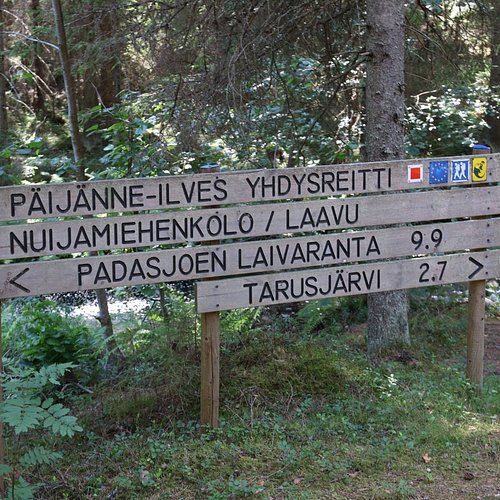
5. Paijanne-Ilves Trail
Overall Ratings
4.0 based on 4 reviews
The 13 km long Päijänne –Ilves trail is a connecting trail to the Evo hiking area. The path starts from Padasjoki Harbour and ends at the car park for Tarusjärvi at the Evo hiking area.The trail is suitable for both hiking and Nordic walking and is marked with yellow painted marks or ribbons. The trail goes through varying village and forest scenery and passes by swamps, ponds and fields. Points of interest along the trail are the Cudgel War Battle Monument, as well as a large boulder close to the end of the trail.
6. Paijatsalo Trail
Overall Ratings
4.0 based on 6 reviews
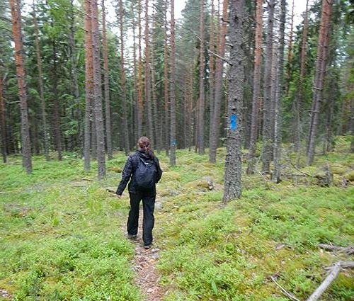
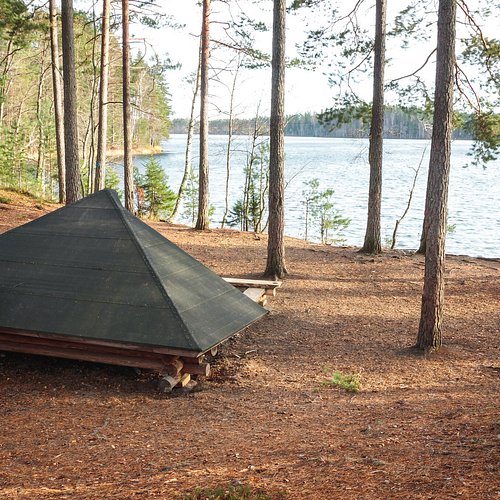
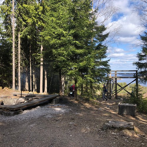
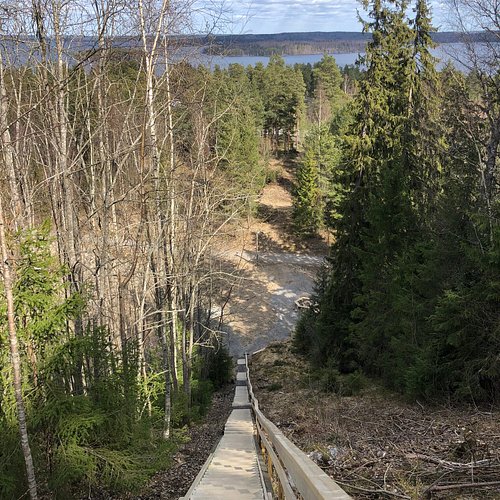
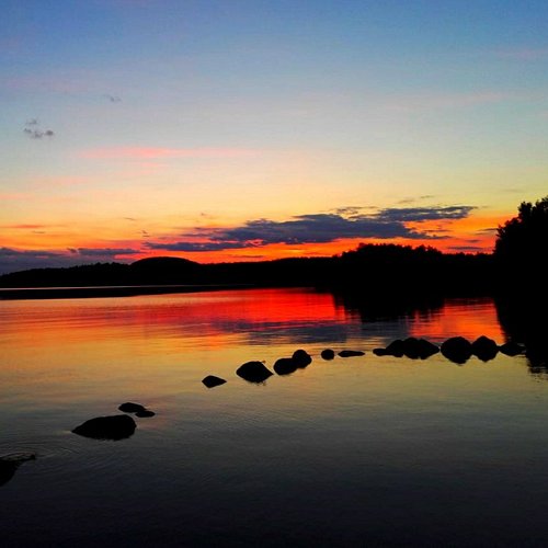
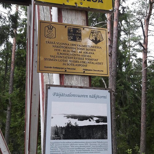
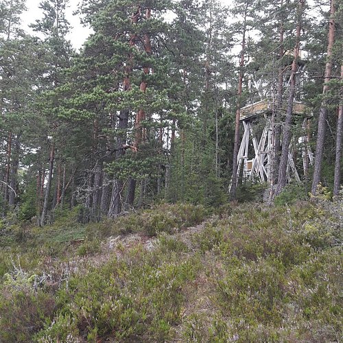
Päijätsalo Island (300 ha), which is situated in the municipality of Sysmä has several trail options suitable for a day trip. The longest one is the circular route which is about 4 km long. The trail can be reached by car (Päijätsalo Island car park) or by boat or taxi boat (Pyydysniemi harbour). The trail starts and ends at Päijätsalo car park and is suitable for hiking and Nordic walking from May until September. The trail is marked with blue painted marks on the trees (please note that 0.6 km of the trail is marked only with red paint marks). The trail passes through varied forest and lake scenery. The hiker is mostly surrounded by pine forest but some birch trees can also be found by the lake shore. Päijätsalo lookout tower is situated in the middle of the island and it offers breathtaking views over the glittering blue waters of Lake Päijänne. The tower can be reached either from the car park, Pyydysniemi harbour or the main trail via paths which are marked with red painted marks. The forest and lake scescenery and the height differences of the island add variety to the trail. The island is peaceful in the early summer, but later in the summer there may be more hikers. The height differences and rocky parts may slow your progress a little.
7. Iso-Melkutin
