


Location: Sedona
Top Things to do in Sedona
Top 5 Geologic Formations in Sedona, Arizona (AZ)
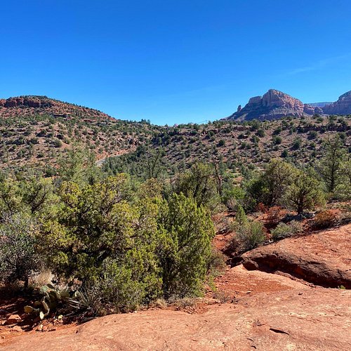
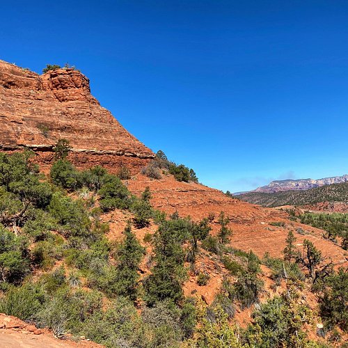
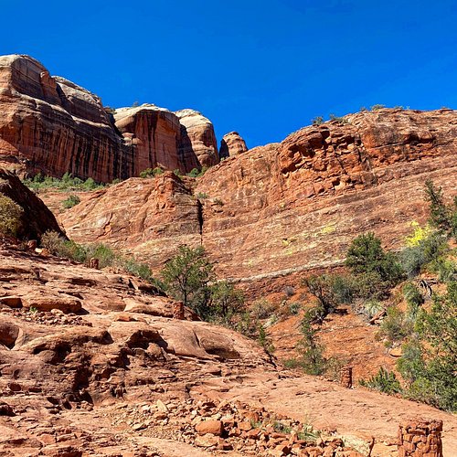
Sedona is a true oasis, a vacationer’s paradise in the middle of the Arizona desert. Here, you’ll find resorts and spas, canyons and red rock formations. Bell Rock and Oak Creek Canyon are great hiking spots, and the dramatic architecture of the Chapel of the Holy Cross is a religious experience itself. When the sun dips down below the horizon it introduces the best show in Sedona: the night sky.
Restaurants in Sedona
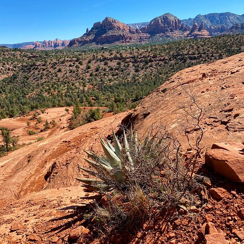
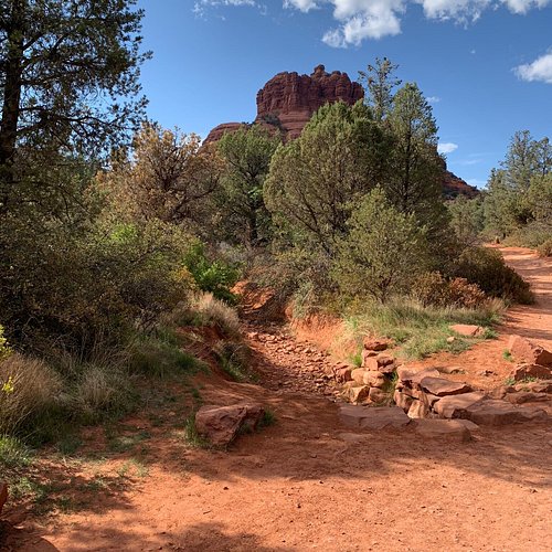
1. Cathedral Rock
Overall Ratings
5.0 based on 5,917 reviews
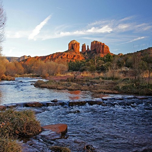
Towering red rock formation, part of the Cathedral Rock Trail.
Reviewed By Cristine4412 - Pittsburgh, United States
It's a relatively easy hike to the base of Cathedral Rock, and from there you can choose the more challenging hike up the rock, or take the flat Templeton trail around the base.
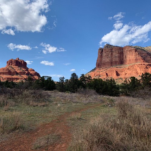
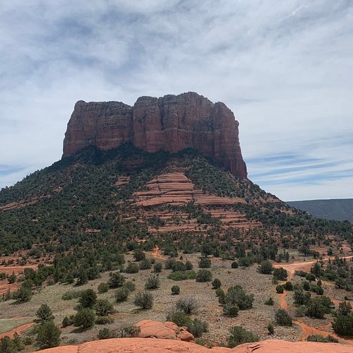
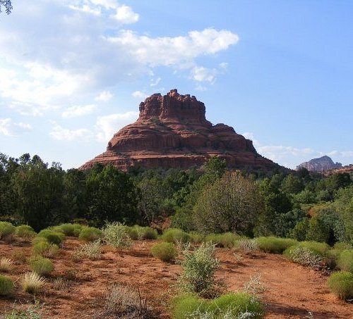
2. Bell Rock
Overall Ratings
4.5 based on 4,873 reviews
Reviewed By cookpias - Los Angeles, United States
There was a fairly easy hike from the Bell Rock trailhead in between Bell Rock and the courthouse formation, completely around the rock itself which gave wonderful views and a nice way to stretch our legs and enjoy the setting.
3. Snoopy Rock
Overall Ratings
4.5 based on 464 reviews

Reviewed By G8451ZJbilla
a must see area at least once in your life. The pink jeep excursions were very professional and was a fantastic way seeing the mountain terrain.
4. Soldier Pass (Brin's Mesa)
Overall Ratings
4.5 based on 357 reviews

Reviewed By SedonaBob55 - Sedona, United States
A hike on Solider Pass Trail can be like hiking four trails in one. If you enjoy looping trail, Soldiers Pass connects first with Brins Mesa Trail, then meets up with Cibola Pass Trail before it connects to Jordan Trail and then finally back to the Soldier Pass Trailhead. The total length is about 6 miles. Sites at the beginning are pretty spectacular. In the first quarter-mile, you will see Sedona's largest sinkhole, Devil's Kitchen, as well as the Seven Sacred Pools and some impressive arches along the canyon wall. Should you go from there to Brins Mesa, the views are pretty panoramic, including a shot of Steamboat Rock, some will swear it looks like a petrified boat. Depending on the time of the year, temperature, and route this can be hard to moderate hike. Elevation change of about 800 if you take the four-trail loop, 450 feet if you stay on Solider Pass. Bring plenty of water and trail maps. Cell service is marginal at times in this area, and trail apps may not work. As a backup, I always have my Sedore Core paper map.
