


Top Things to do in Canyonlands National Park
Top 10 Nature & Parks in Canyonlands National Park, Canyonlands National Park
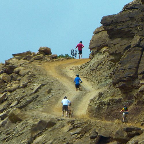
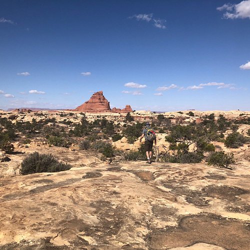
A great location with trails for mountain biking and sightseeing.
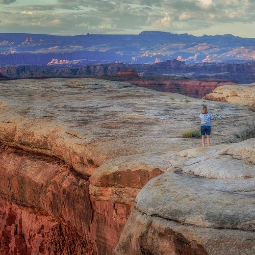
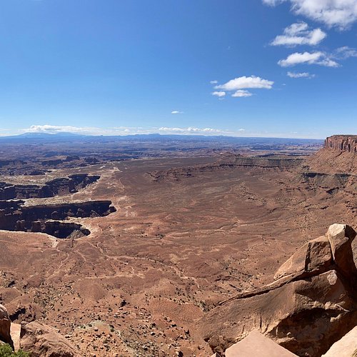
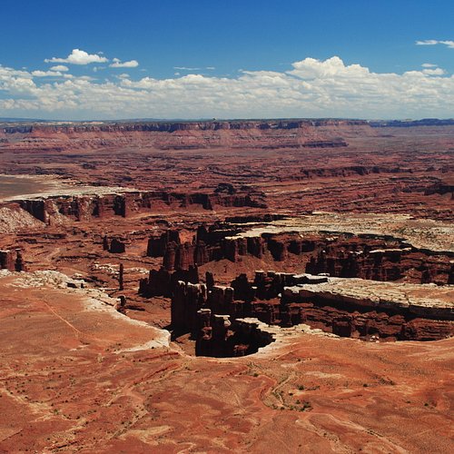
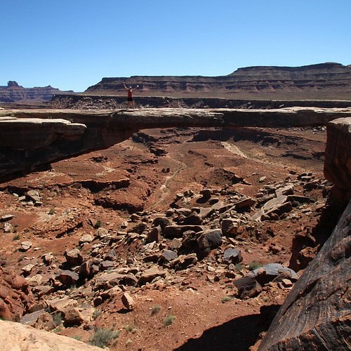
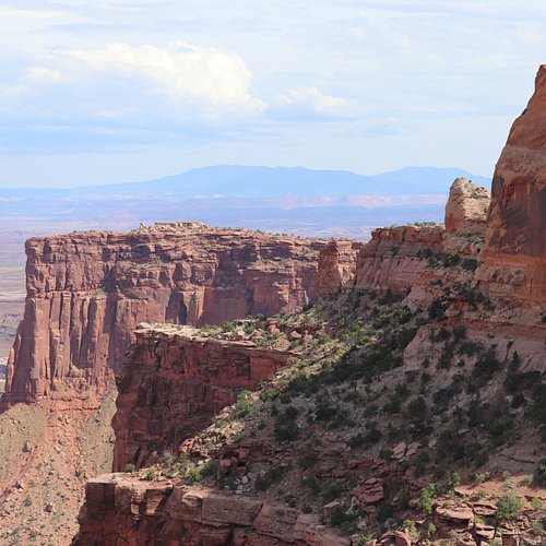
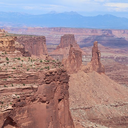
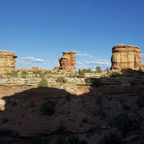
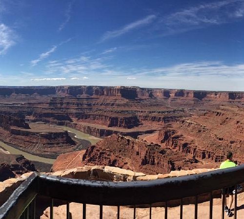
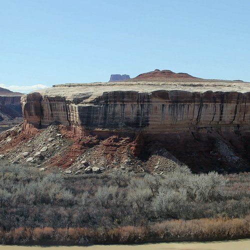
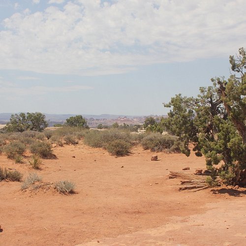
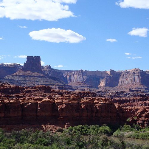
1. Island in the Sky
Overall Ratings
5.0 based on 668 reviews
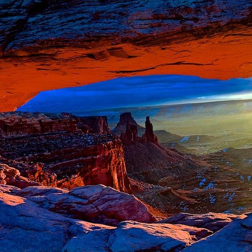
This area of Canyonlands has a few hiking trails and views of beautiful canyons.
Reviewed By 866TaylorB - Chicago, United States
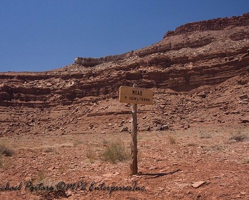
Island in the Sky, also known as Between the Rivers, is the most visited and easily reached and perhaps the most scenic attraction in Canyonlands National Park. Located close to Moab, Utah and Arches National Park, it is the highest section of Canyonlands, with an average elevation of 6,100 feet, and the access road passes many spectacular and breath-taking viewpoints of the deep twisting canyon on either side. The road runs along a narrowing ravine or Seven-Mile Canyon, climbs the steep cliffs on the south side, then ascends more gently over uneven, partly wooded ground to the flat grasslands in the center of the plateau. The flat land at the top of the Island in the Sky mesa becomes narrower towards the south as the river confluence approaches. After the visitors center, the first viewpoint is Shafer Canyon to the east, then the mining settlement of Potash and a meadow known as Grays Pasture. At a fork in the road, follow the West road past the main campground and an overlook of the Green River at Willow Flat, then descend gradually to the end of the mesa at Upheaval Dome. Near the road junction are two short trails, one to Mesa Arch and one to the White Rim and the Green River. The remaining five miles of the main road cross a rather narrow plateau, past several overlooks, including Buck Canyon, Candlestick Tower, Murray Point, Gooseberry Canyon and the Orange Cliffs. The park road ends at Grand View Point, which offers magnificent vistas across the Colorado canyons and the spires of Monument Basin to the distant La Sal Mountains in the east and the Needles area to the south. A further one-mile, 20-minute walk southwards along the Grand View Trail leads to the very end point of the Island in the Sky plateau, where the cliffs drop away in all directions and the canyons of both rivers can be seen. There are places in Canyonlands where you are alone and can't hear a sound. It is an erie experience, one a native of Chicago isn't used to. At times, in certain spots, Island in the Sky feels that way.
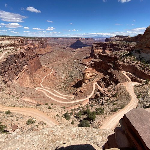
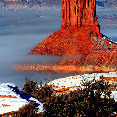
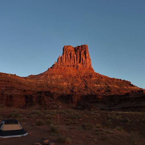
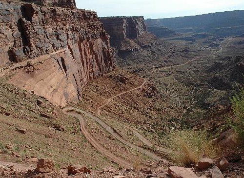
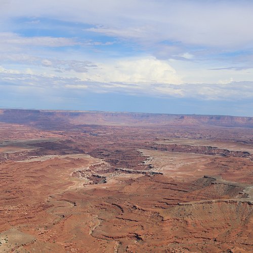
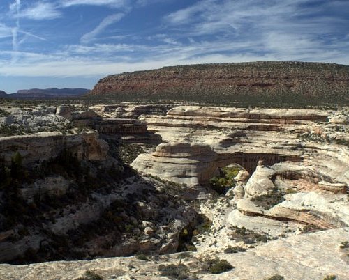
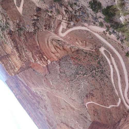
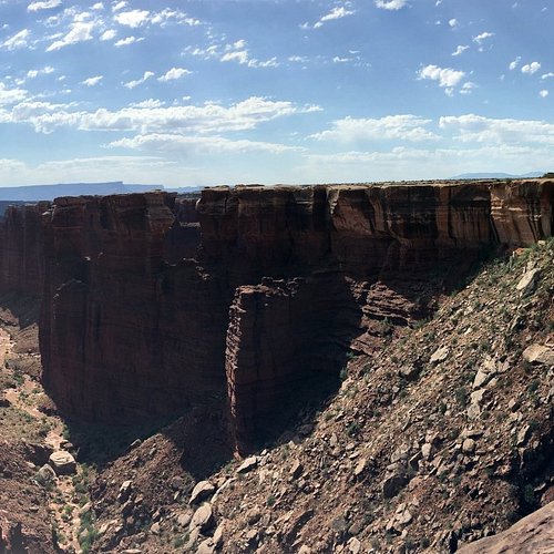
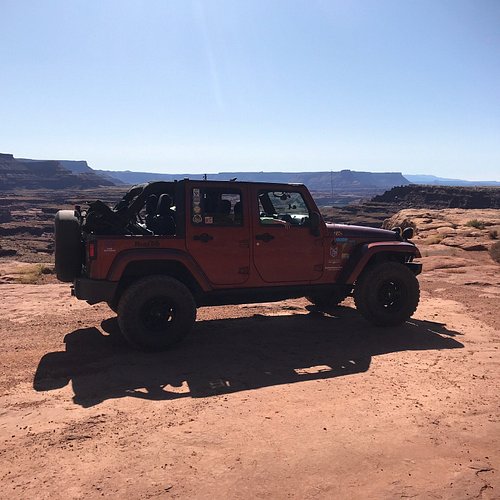
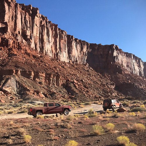
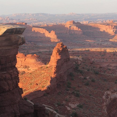
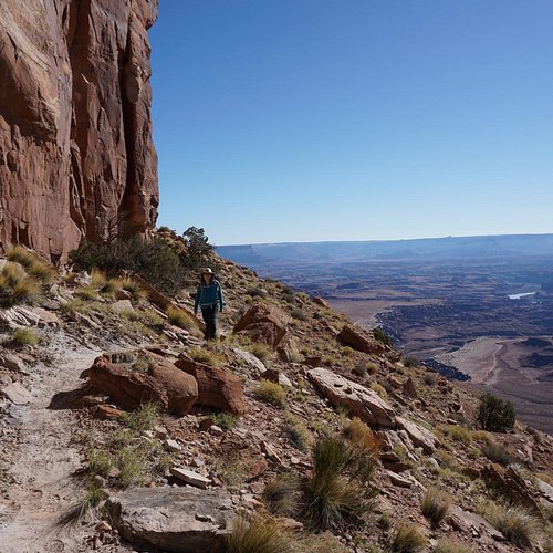
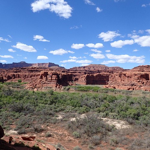
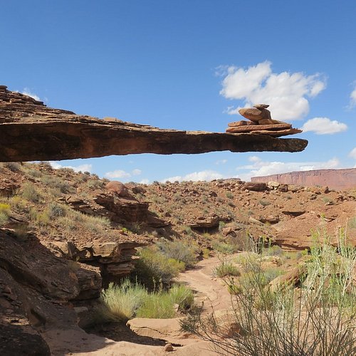
2. White Rim Trail
Overall Ratings
5.0 based on 133 reviews
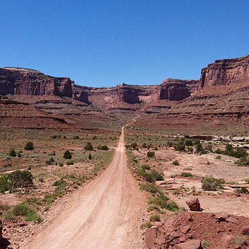
A challenging mountain biking trail.
Reviewed By 1466martin - Park City, United States
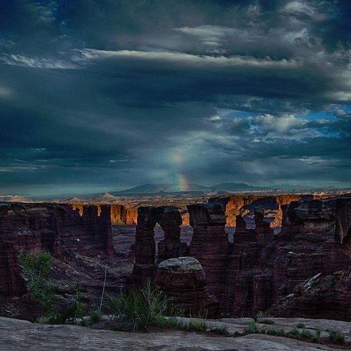
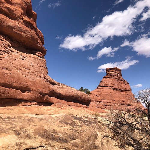
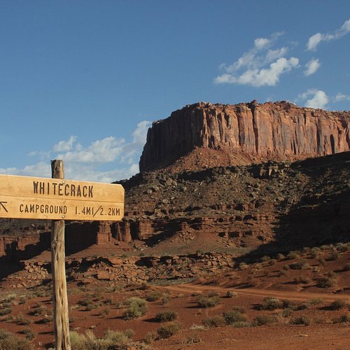
The white Rim Trail is simply unbelievable. Most of the geologic features should not exist and should have fallen over long ago. Everywhere you go there is a 1,000 foot drop to the bottom below and views that are hard to comprehend. When you see some of the Islands in the Sky up close, you will understand why they are called Islands in the Sky. Now to the details about the drive. I believe you can drive from Canyonlands on the Shaffer Trail (the crazy switchbacks with 1,000 foot drops) out to the White Crack camp area in most vehicles. Now that will get you pretty close to the amazing overlook but the last 1.2 miles of road to the White Crack camp area are rugged and should not be attempted unless you have 4 wheel drive (not all wheel drive). So if you made it out here without a 4x4 at least plan to hike the last couple miles. The section from Canyonlands to White Crack is traveled some and we saw about 6-8 vehicles on a Saturday. It took about 5 hours to cover the 36 miles. We were not rushing, stopped often and enjoyed the views. expect to travel at about 7-10 MPH. Alright! You made it this far! All the way to White Crack, 36.8 miles of hard dirt road and spectacular views. If you’re not in a four wheel drive vehicle turn back now! Go back the way you came and be happy about what you saw and the pictures you have. If you continue, you will destroy your vehicle and have a very long walk back where you will probably die. I’m not joking. If you are in a 4 x 4, let’s go! The next 50 miles get rough. This is a marathon for 4 x 4’s not a sprint. There are steep climbs you will want low range to climb in. There are several sections with an 800 foot cliff on your side, hair pin turns and barely room for your wheels because it’s so narrow. This was not extreme or difficult 4 wheeling but you do need to pay attention and not get in a big hurry. On our second day doing the back 50 miles we did not see a sole. No one. No airplanes. No high flying jets. No help. No cell phone service. Nothing at all. It was beautiful. Silent. So plan ahead, go with a second vehicle like we did. You are alone in the back and no one is coming to help you. Be prepared. It took us about 7 hours to cover the 50 miles. Again, we were not rushing and stopped a lot to look at everything but the road is rough. We were in a lifted Jeep Rubicon and a Toyota 4Runner and had no issues with the climbs or ground clearance. Be sure to carry tools, water and extra gas. Be sure to stop at the “Black Crack”.
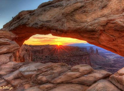
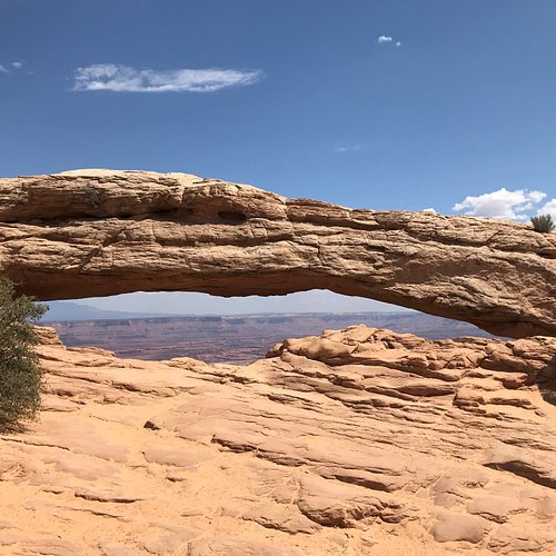
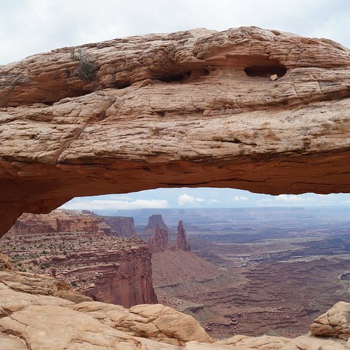
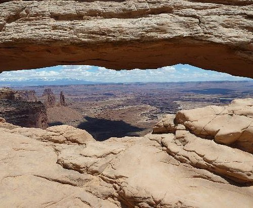
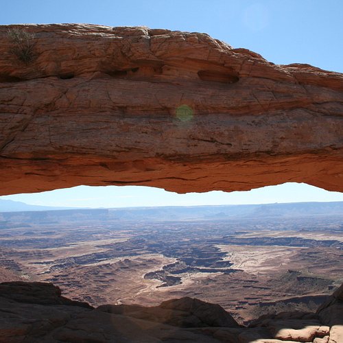
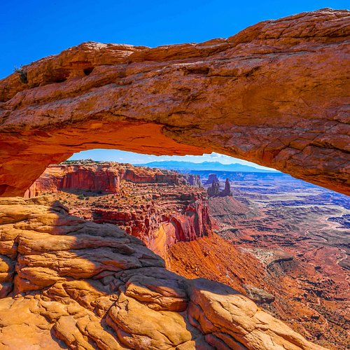
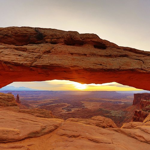
3. Mesa Arch
Overall Ratings
5.0 based on 731 reviews
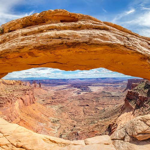
Visit this mesa at sunrise for the best scencic views.
Reviewed By TravelingJohnB80 - Martinsburg, United States
Relatively easy hike to see one of the most iconic arches. One downside is with the ease of the hike it also brings crowds so you will have to wait your turn to get a picture.
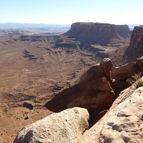
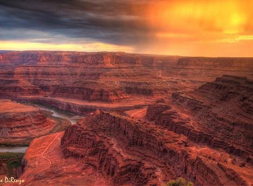
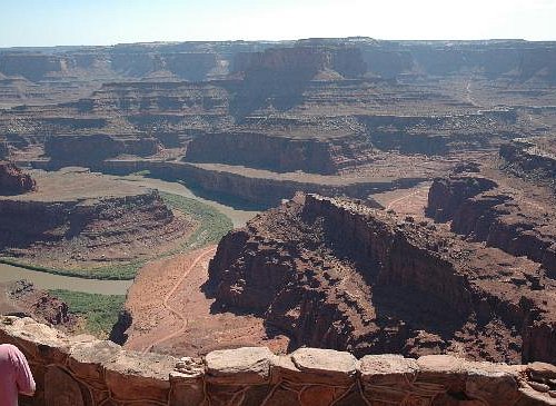
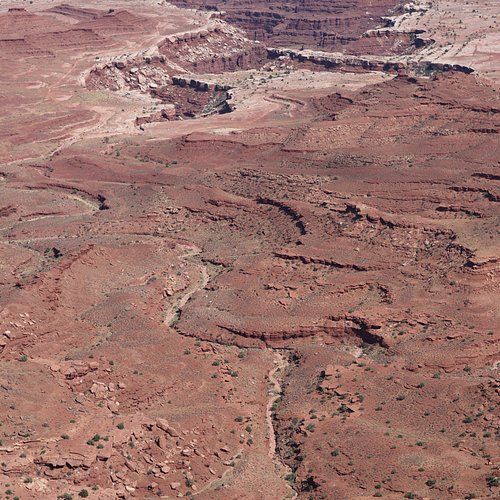
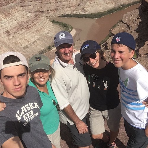
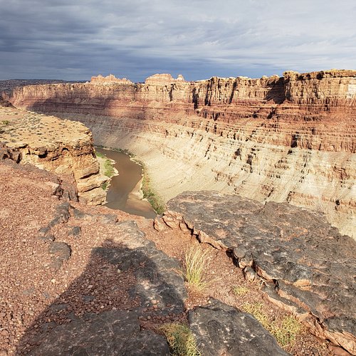
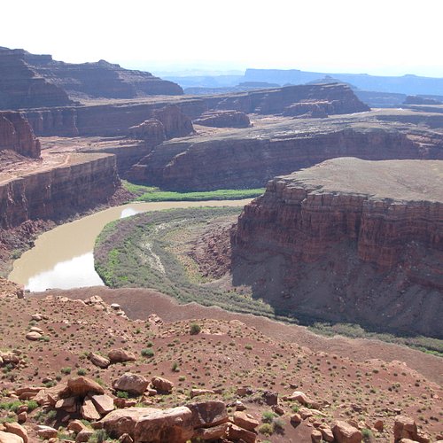
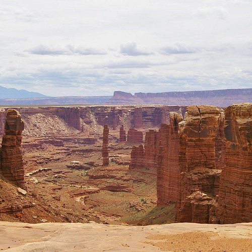
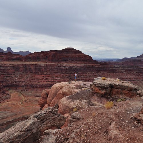
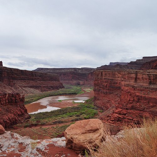
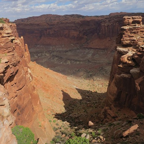
4. Confluence Overlook Trail
Overall Ratings
5.0 based on 15 reviews
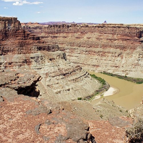
Popular, scenic hiking trail.
Reviewed By MountainMan-Kim - Copper Mountain, United States
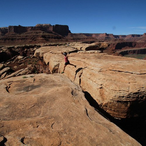
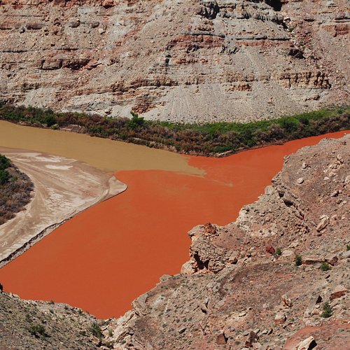
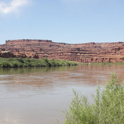
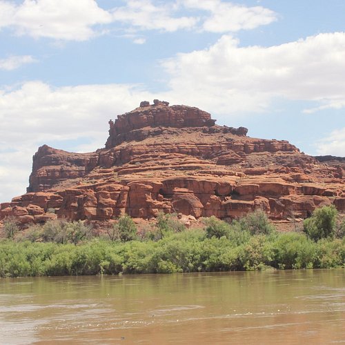
I did the Convergence Overlook 11-mile hike on May 11, 2017. At mid-day, the temperature rose to 80 degrees Fahrenheit (27 degrees Celsius) on a fry pan of exposed slickrock. I drank 3 liters of ice cold water during the trek. The trail descends steeply into three canyons on challenging terrain for a five-hour hike. I enjoyed the rock formation views along the way as much as the merger of the Green River and Colorado River a thousand feet below the overlook.
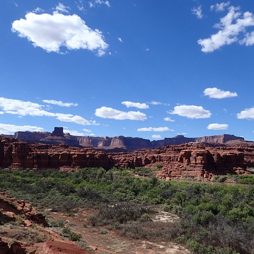
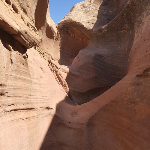
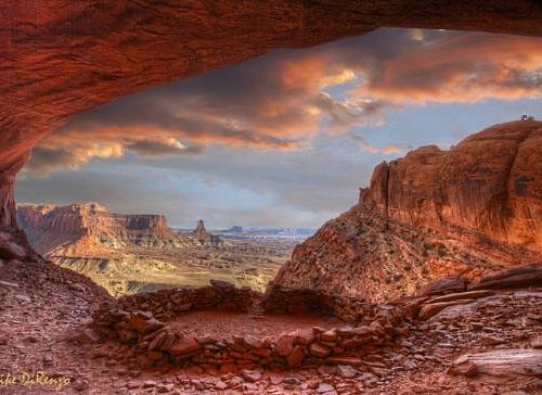
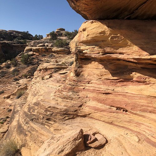
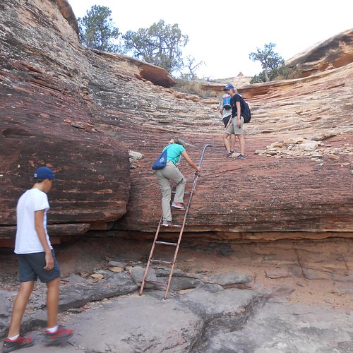
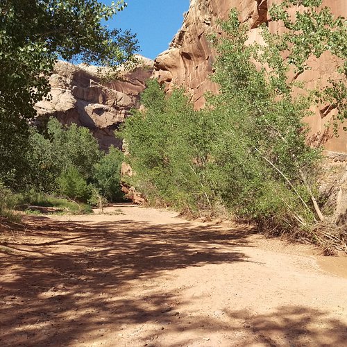
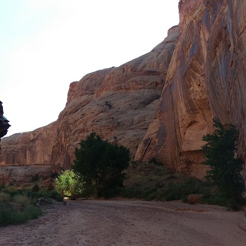
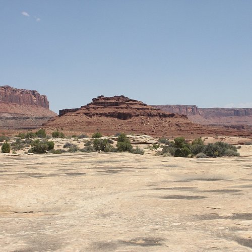
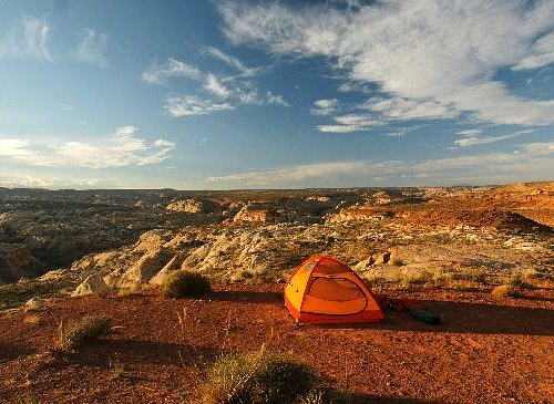
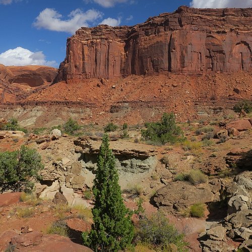
5. Horseshoe Canyon
Overall Ratings
5.0 based on 59 reviews
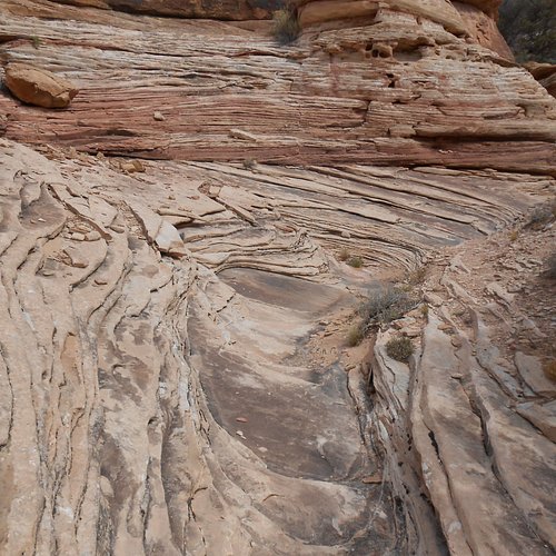
One of four areas of Canyonlands National Parks - each named for its outstanding geological characteristic.
Reviewed By 451pn
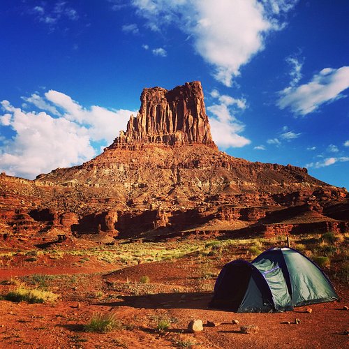
Fun trip to this part of Canyonlands NP! The dirt road into horseshoe Canyon was no problem - no 4 WD or high clearance vehicle needed. The volunteer rangers did an outstanding job of explaining the different panels in the canyon. We camped out by the trailhead and there were plenty of camping sites available. It was a eight (8) mile round trip (out and back) and the hike out of the canyon wasn't that difficult. The trail is well marked.
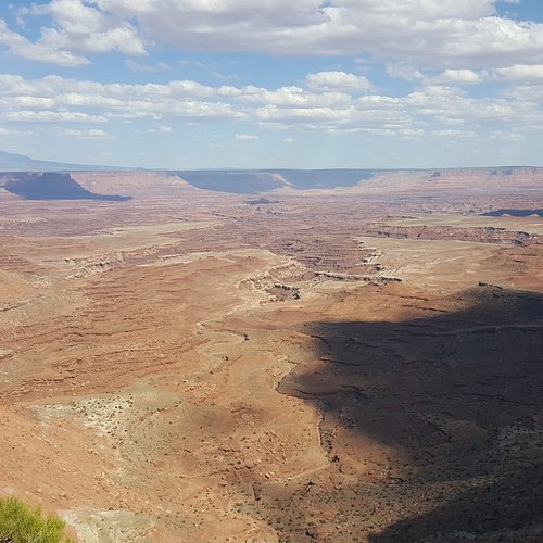
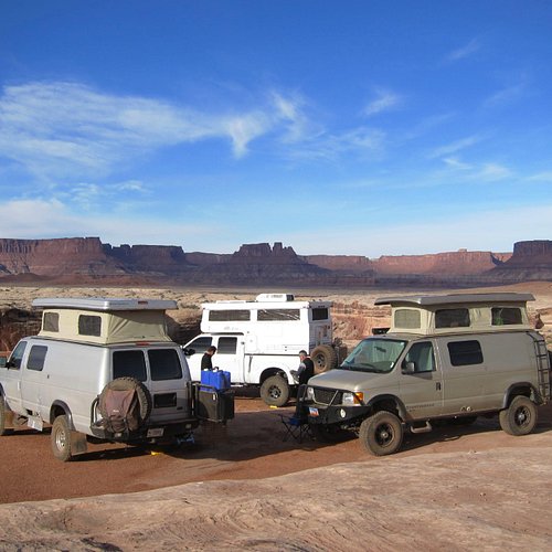
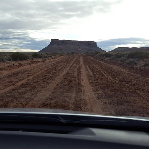
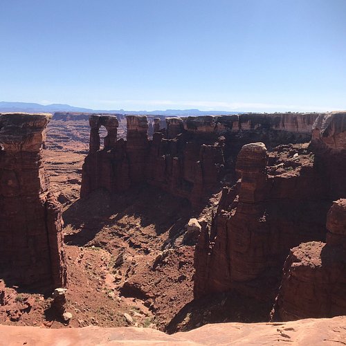
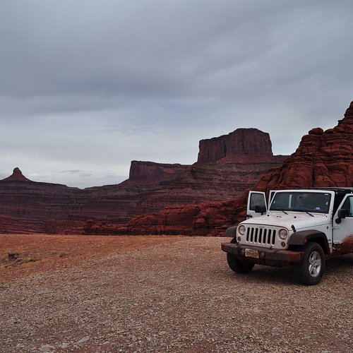
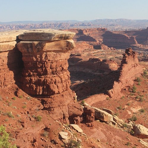
6. White Rim Road
Overall Ratings
5.0 based on 43 reviews
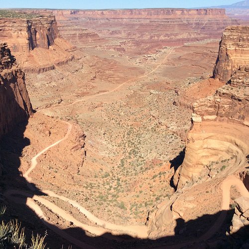
100-mile Road Which Most Visitors Bike Or Drive By Four-wheel Vehicles.
Reviewed By JPWalker10 - Poznan, Poland
If you don’t have much time to travel around Moab, this road should be your no. 1 priority! It’s extremely beautiful, views are spectacular. It took us about 1.5hrs to get from Potash to Visitors Centre.
7. White Crack
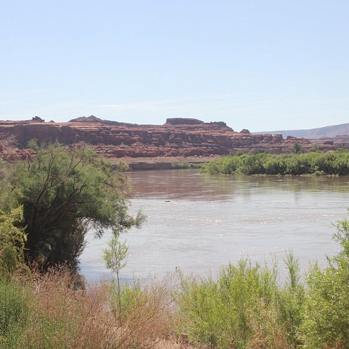
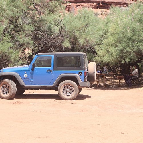
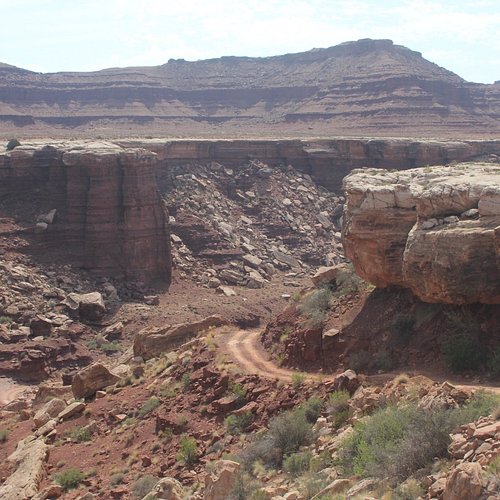
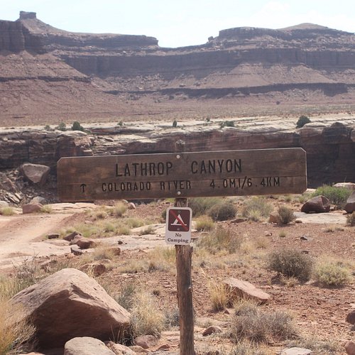
8. Lathrop Canyon
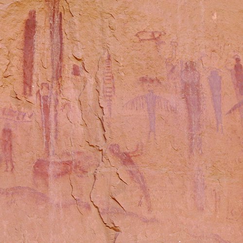
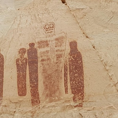
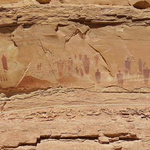
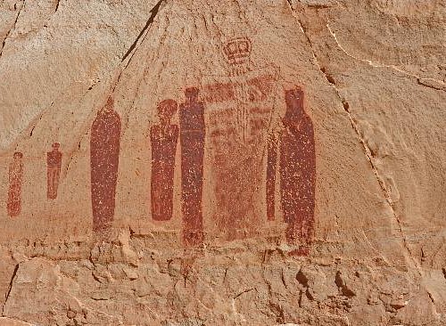
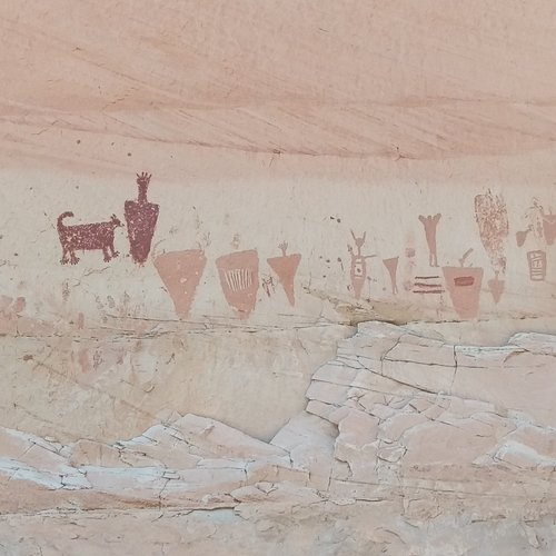
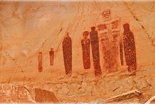
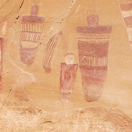
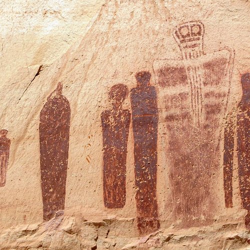
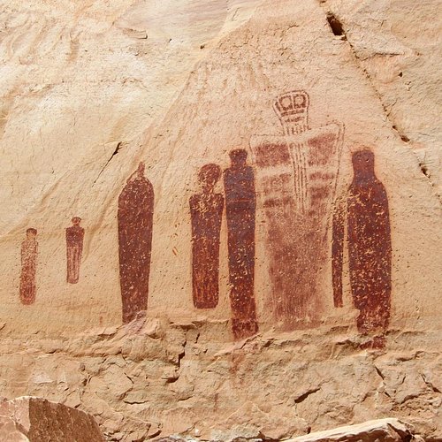
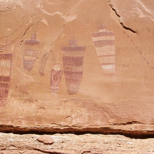
9. Great Gallery
Overall Ratings
5.0 based on 14 reviews
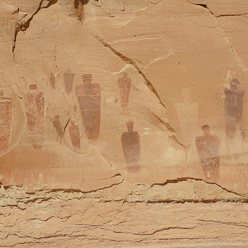
A major landmark in Bryce, a vast panel of rock said to date back 2,000 years.
Reviewed By Ilene80111 - Denver, United States
Beautiful, serene and awe-inspiring. I do not want to encourage a lot of people to go and trample the natural setting but if you do please tread lightly and leave only footprints. Respect the sites and enjoy the hike.