


Location: Province of L'Aquila
Top Things to do in Province of L'Aquila
Top Restaurants in Province of L'Aquila
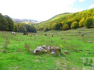
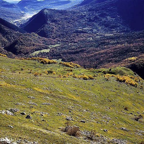
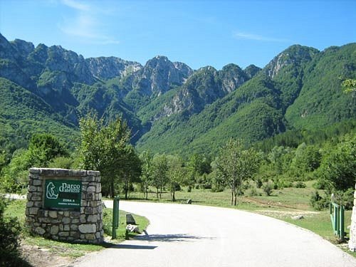
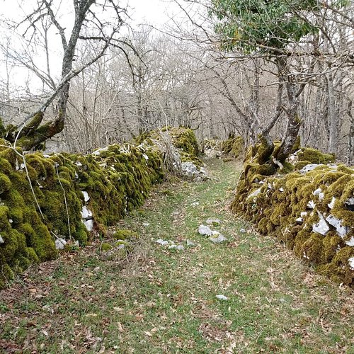
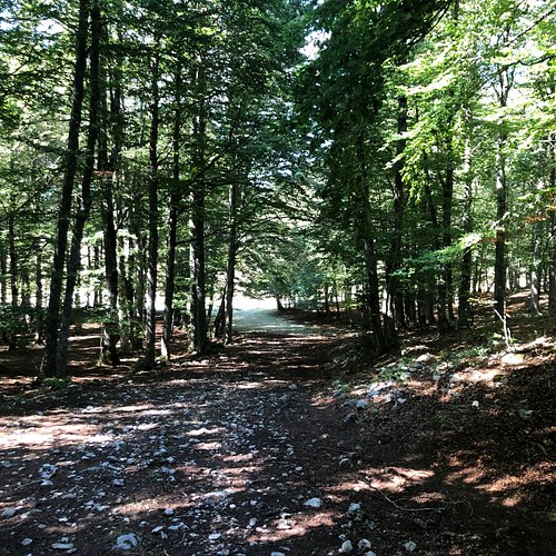
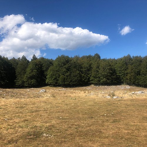
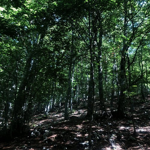
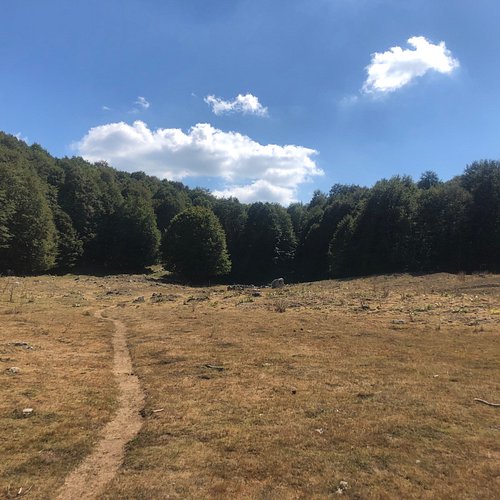
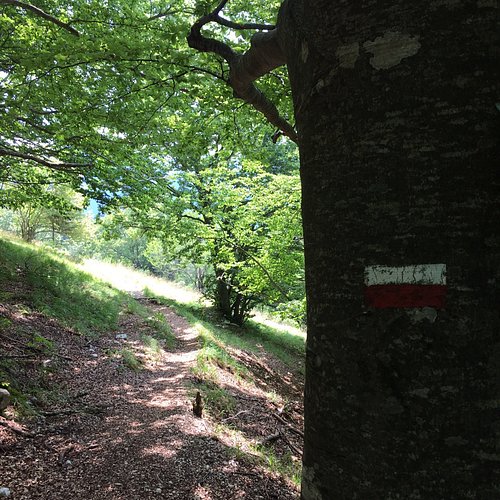
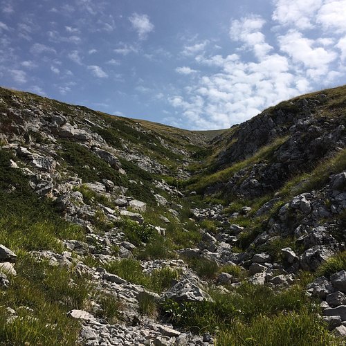
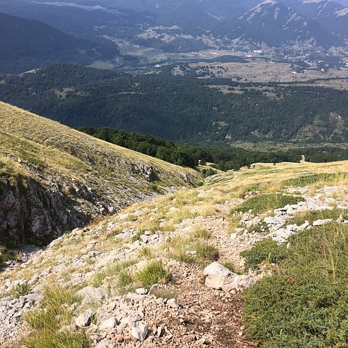
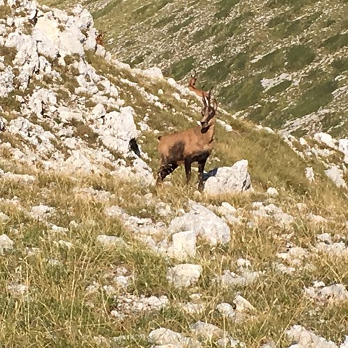
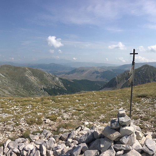
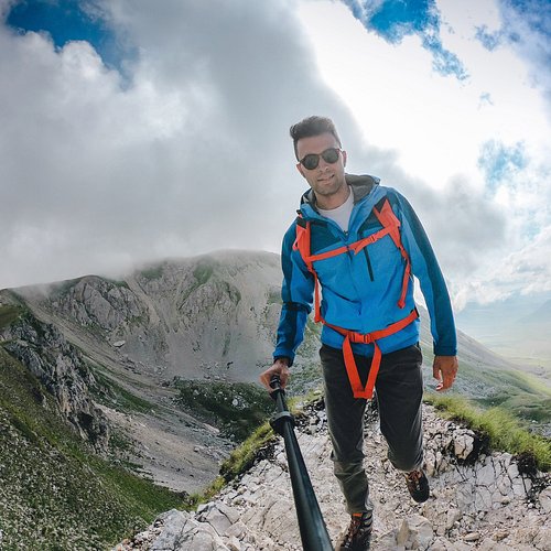
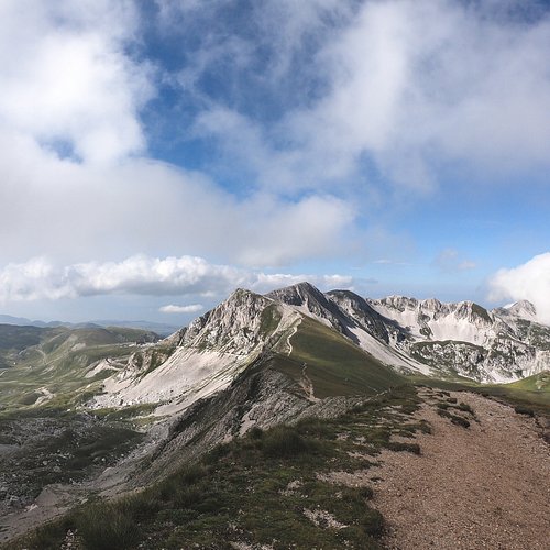
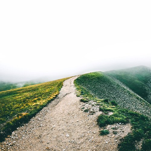
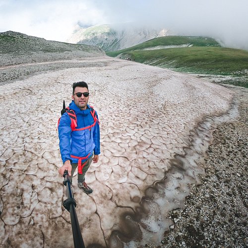
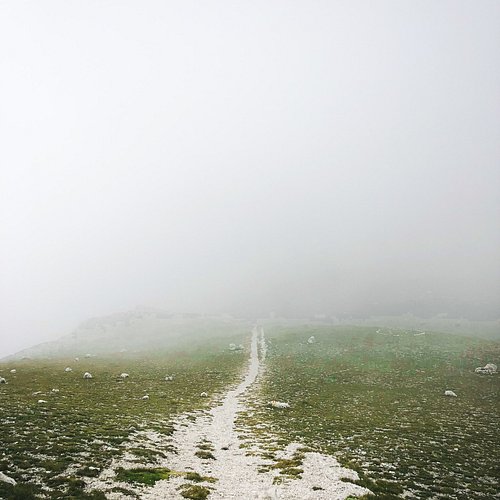
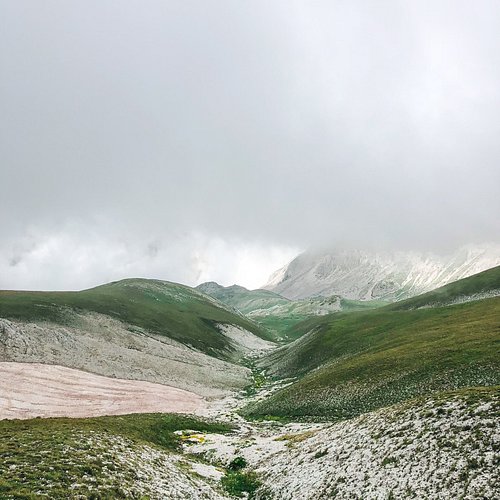
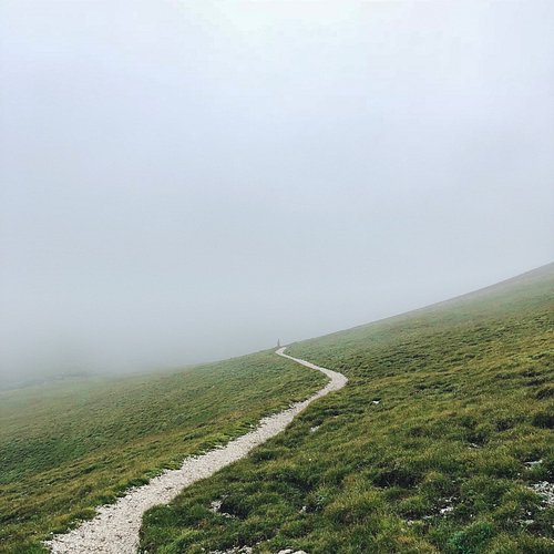
Top 10 Hiking Trails in Province of L'Aquila, Abruzzo
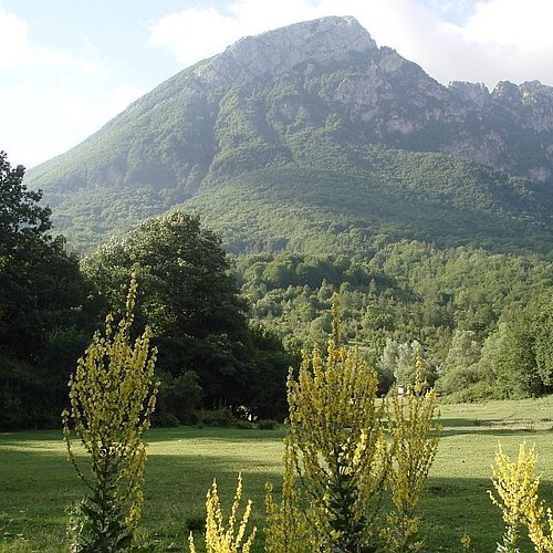
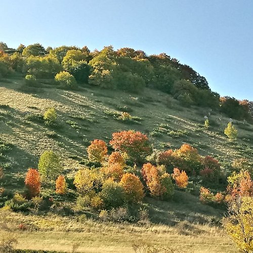
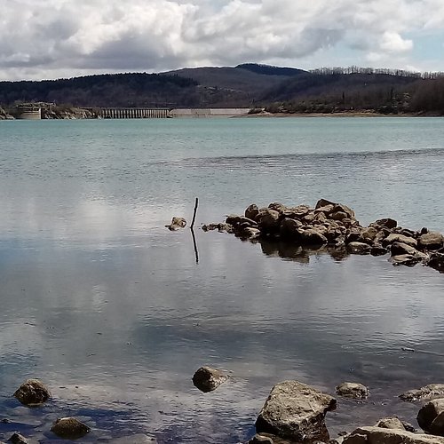
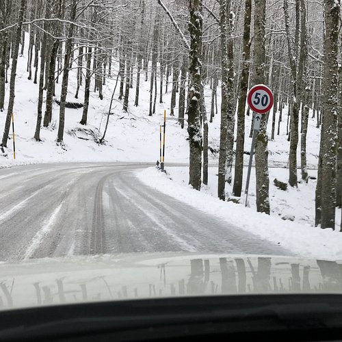
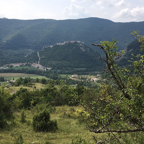
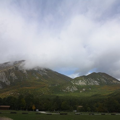
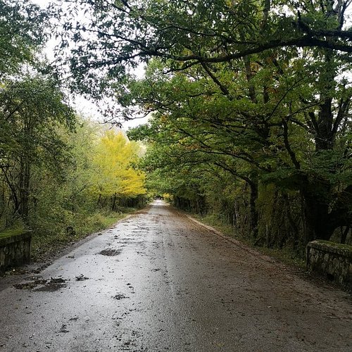
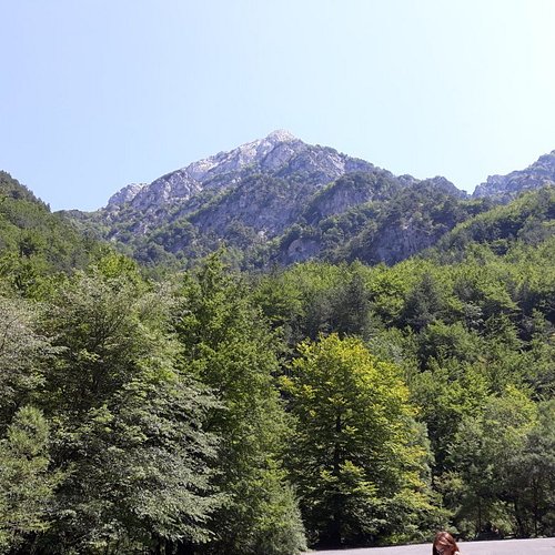
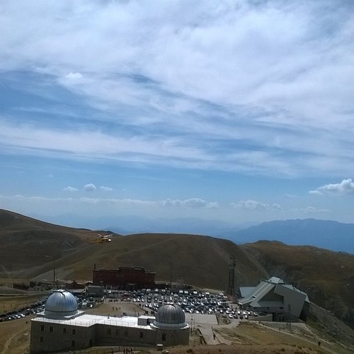
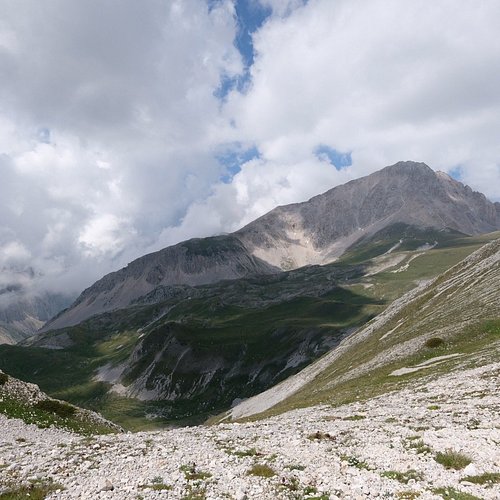
The Province of L'Aquila (Provincia dell'Aquila) is the largest, most mountainous and least densely populated province of the Abruzzo region of Southern Italy. It comprises about half the landmass of Abruzzo and occupies the western part of the region. It has borders with the provinces of Teramo to the north, Pescara and Chieti to the east, Isernia (in Molise region) to the south and Frosinone, Rome and Rieti (in Lazio region) to the west. Its capital is the city of L'Aquila. The Province of L'Aquila includes the highest mountains of the Apennines (Gran Sasso, Maiella and Velino-Sirente), their highest peak, Corno Grande, the high plain of Campo Imperatore, and Europe's southernmost glacier, the Calderone. The province's major rivers are the Aterno-Pescara, Sangro, Liri, Salto, and the Turano; its major lakes are Lago Scanno and Lago Barrea. It once included the largest lake on the Italian peninsula, Lago Fucino, which was drained in one of the 19th century's largest engineering projects. The lake basin is today a flourishing agricultural area and an important technological district.
Restaurants in Province of L'Aquila
1. Sentiero I2
Overall Ratings
5.0 based on 1 reviews
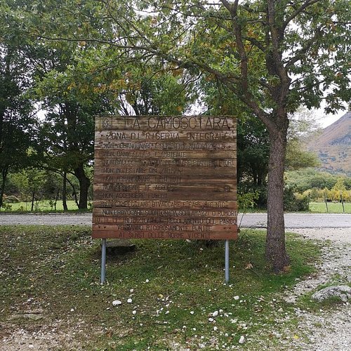
The route leads from the village of Civitella Alfedena to the Molino meadows, in the Camosciara integral reserve area.
2. Sentiero F4 Fondillo - Forca d'Acero
Overall Ratings
5.0 based on 4 reviews
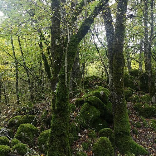
The path runs through the Valle Fredda and joins the Fondillo Valley to the Valico di Forca d'Acero, on the border with the Lazio side of the Park. Nestled in the beech woods of the Park, not too long but interesting path.
3. Sentiero D3 Pescasseroli - Macchiarvana
Overall Ratings
5.0 based on 2 reviews
The path leads from Pescasseroli to the beautiful grassland of Macchiarvana (great clearing used in winter as a cross-country ski run) through beautiful beech forests with monumental trees. The route does not present difficulties and is suitable for everyone.
4. Sentiero F10 Ponte Forcone - Monte Marsicano
Overall Ratings
5.0 based on 3 reviews
The path leads from the 83 Marsicana road at the bottom of the valley, not far from Val Fondillo, up to the summit of Mount Marsicano, through a route for experts and almost entirely exposed to the sun. Very suggestive and panoramic, it requires a bit of training and equipment against the sun in summer.
5. Sentiero K3 Pratolungo
Overall Ratings
5.0 based on 1 reviews

Leaving the car at Camping La Genziana, the trail climbs along a very scenic sheep track and then enters the beech forest and the beautiful Rio Torto valley. Very long path (about 7 hours) and mostly sunny.
6. Sentiero G1 - Piana della Corte - Camosciara
Overall Ratings
5.0 based on 4 reviews
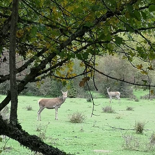
Parking in the square in the valley (equipped with services and bar) continue towards the Camosciara along 3 km of paved road closed to traffic and in moderate ascent, passable on foot, by carriage, by train or by bike. From the square there are two paths. In the square of the Camosciara there is a small bar.
7. Sentiero H4
Overall Ratings
5.0 based on 1 reviews

The trail crosses the beautiful pinewood of Pino nero di Villetta Barrea (special ecotype at forest level) and then goes into the beech forest until it comes out on the grasslands of Monte Mattone. Beautiful view of Lake Barrea and the Camosciara. We then descend into beech forest up to the road to Scanno
8. Il Cammino dei Briganti

9. Piani di Pezza

10. Dall'albergo di Campo Imperatore al Monte Aquila

TAGS